Browse / United States / Oklahoma / Morris
Morris
Oklahomacity

Morris
Total population
1,555
Median home value
$114,800
Bachelor's+
Median income
$58,716
Founded
1904
Demographic figures from US Census Bureau · ACS 5-year estimates. Overview below cites Wikipedia and may reference a different year.
City facts
Facts from Wikidata (CC0).
Overview
Morris is a city in Okmulgee County, Oklahoma, United States. The population was 1,299 at the 2020 census.
Read more on WikipediaHistory & geography
History
The community began as a cattle stop on the Ozark and Cherokee Central Railway (later the St. Louis and San Francisco Railway, commonly known as the "Frisco"), which ran between Muskogee and Okmulgee. The post office was established here on January 4, 1904. The townsite was platted in 1904 by L. R. Kershaw, who was an attorney and an immigration agent for the Frisco. He named the town after H. E. Morris, a Frisco executive. Many of the street names in Morris are named after towns that were familiar to Kershaw from his home state of Illinois. Kershaw was also the founder of two of the earliest banks in Morris, Indian Territory: The Farmer's State Bank of Morris in 1905 and the First National Bank of Morris in 1907. Morris's later history includes bank robberies, the most talked about being those by Charles Arthur "Pretty Boy" Floyd, who was popular in the Morris area. The large early growth in Morris's history came from mineral extraction. Coal lay close to the surface in the area around Morris, and an oil boom developed around the Morris Pool. In more recent times, ranching and farming in the area have aided the town's economy. A tornado struck Morris on April 26, 1984. It killed nine people and destroyed the entire business section, as well as about one half of the housing.
Geography
Morris is located east of Okmulgee, at the intersection of U S. Highway 62 and State Highway 52. According to the United States Census Bureau, the city has a total area of , of which is land and (5.17%) is water.
Excerpted from the corresponding Wikipedia article (CC BY-SA).
Demographics & economy
Race & ethnicity
Source: US Census Bureau — American Community Survey, 5-year estimates.
Geography
Coordinates & boundaries from the US Census TIGER/Line shapefiles.
Climate
Current forecast
Forecast for Morris, OK from NOAA NWS API.
Air quality
Industrial & pollution facilities
Natural hazard risk
Health (adults)
Walkability
Amenities nearby
Wildlife & biodiversity
Schools
Earthquake history
Photos
Sights & places nearby
Notable people from here
Nearby places in Oklahoma
Geography & sun
Elevation, sunrise/sunset and daylight from Open-Meteo. Solar climatology from NASA POWER.
Nearby airports
Public attention
Pageview totals from the Wikimedia Pageviews API.
Books about Morris


Search results from Open Library.
Recent natural events nearby
- Wildfire WRIGHT, Hughes, OklahomaWildfires · 2026-08-29 · 30 mi
- Wildfire Buck Creek, Pushmataha, OklahomaWildfires · 2026-08-25 · 77 mi
- Wildfire Atoka Lake, Atoka, OklahomaWildfires · 2026-09-14 · 83 mi
- Wildfire Alexander Trail Fire, Pushmataha, OklahomaWildfires · 2026-08-30 · 84 mi
- Wildfire Alexander Trail, Pushmataha, OklahomaWildfires · 2026-08-30 · 84 mi
- Wildfire Snake Mountain, Pushmataha, OklahomaWildfires · 2026-08-14 · 87 mi
- Wildfire BISON, Osage, OklahomaWildfires · 2026-08-21 · 92 mi
- Wildfire Tram Trail, Pushmataha, OklahomaWildfires · 2026-09-14 · 95 mi
Wildfires, storms and other events from NASA EONET (last 12 months, within 250 mi).
Ground air-quality sensors
Recently spotted species
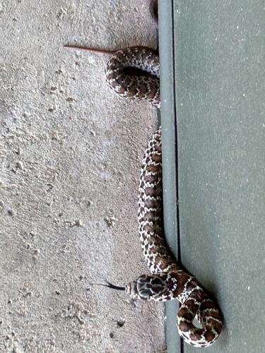
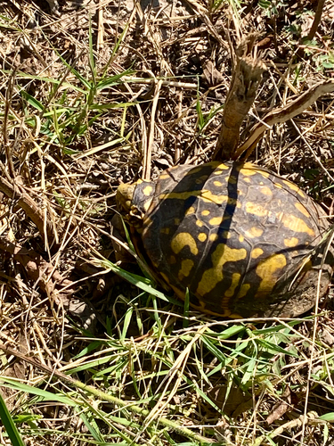

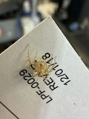
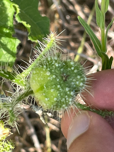
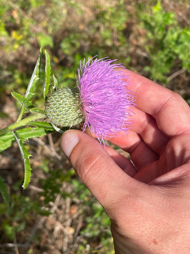
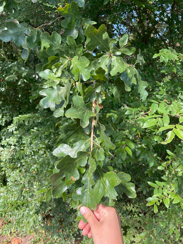
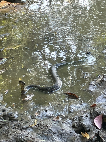

Research-grade observations from iNaturalist (within ~15 mi).
Nearest stream gauge
Events
Gallery
Sources
- • Wikipedia
- • US Census Bureau (ACS 5-year estimates)
- • NOAA National Weather Service
- • Wikidata
- • iNaturalist
- • Open-Meteo / sunrise-sunset.org
- • Wikipedia Pageviews API
- • Open Library
- • NASA EONET