Browse / United States / Oklahoma / Newkirk
Newkirk
Oklahomacity

Newkirk
Total population
2,043
Median home value
$101,800
Bachelor's+
Median income
$52,639
Founded
1893
Demographic figures from US Census Bureau · ACS 5-year estimates. Overview below cites Wikipedia and may reference a different year.
City facts
Facts from Wikidata (CC0).
Overview
Newkirk is a city in and the county seat of Kay County, Oklahoma, United States. The population was 2,172 at the 2020 census.
Read more on WikipediaHistory & geography
History
Newkirk is on land known as the Cherokee Outlet (popularly called the "Cherokee Strip"), which belonged to the Cherokee Indians until 1893. The Cherokee acquiesced to the demand of the president and Department of the Interior to sell the land, then part of Oklahoma Territory, to the U.S. government. Efforts to buy the land from the Cherokee began in 1889, but were not concluded until 1893 when Congress authorized the purchase and the land was opened to non-Indian settlement by means of the Cherokee Strip Land Run on September 16, 1893. An estimated 100,000 people raced to claim plots of land. The town of Newkirk had been laid out before the run by the government as the county seat of “K” county. It was named Lamoreaux after Silas W. Lamoreaux, who was commissioner of the General Land Office. Two miles north of Lamoreaux was Kirk, a Santa Fe Railroad cattle-shipping station. That first day of the land run, 5,000 people staked claims in and near Lamoreaux. Claimants were allowed two town lots: one for a home and one for a business. In designated rural areas, claimants could select 160 acres. The population quickly dropped to about 2,100 as disappointed land seekers left. A town government was organized and among the first items of business was to change the name of the town from Lamoreaux to Santa Fe, but the railroad rejected the name as several other places were named Santa Fe. Meanwhile, the railroad station at Kirk had been closed, so the name Newkirk was chosen on November 8, 1893. In 1901, Newkirk suffered a major reversal when nearly a whole block of its thriving downtown burned. The wooden buildings that burned were mostly replaced with stone buildings from the distinctive yellow limestone quarried four miles east of Newkirk. "Imposing stone buildings began…
Geography
According to the United States Census Bureau, the city has an area of , all land. Newkirk is on mostly flat terrain with no large watercourses nearby, and at the boundary between two ecoregions: the Central Great Plains and the Flint Hills. West of the town on the Great Plains, the countryside is rich agricultural land, especially for wheat, soybeans, and cattle. East of town, the Flint Hills' terrain is more rugged and rocky and is primarily used for cattle ranching. Natural vegetation is mostly prairie, but stream valleys often have forests of cottonwood, oak, elm, ash, pecan, sycamore, and other species. Scrub oak and red cedar dot hillsides. Wildlife is abundant, including whitetail deer, turkey, bobwhite quail, coyote, bobcat, and waterfowl. A cougar attack on a person seven miles (11 km) east of Newkirk was reported in 2002. Newkirk lies south of the Kansas-Oklahoma border. A casino and other facilities owned by the Kaw Indian tribe are east. The Arkansas River is east of town. The bridge across the river crosses the upper end of Kaw Lake. Near the river are the Deer Creek/Bryson Paddock sites, where archeologists excavated the ruins of two prominent 18th-century Wichita Indian villages. Beyond the river, continuing east, is the lightly populated, tallgrass prairie region with many large ranches. Locals call this region “The Osage” after Osage County and the Osage Indians. The Washunga cemetery of the Kaw Indians is north of Newkirk. It was moved there to avoid having it covered by water when a dam created Kaw Lake. The Chilocco Indian Agricultural School, now closed, was north. Newkirk's climate can be described as extreme continental, with an average low temperature in January of 20 °F (-7 °C) and an average high temperature in July of…
Excerpted from the corresponding Wikipedia article (CC BY-SA).
Demographics & economy
Race & ethnicity
Source: US Census Bureau — American Community Survey, 5-year estimates.
Geography
Coordinates & boundaries from the US Census TIGER/Line shapefiles.
Climate
Current forecast
Forecast for Newkirk, OK from NOAA NWS API.
Air quality
Industrial & pollution facilities
Natural hazard risk
Health (adults)
Age-adjusted prevalence estimates from CDC PLACES (latest release).
Walkability
Amenities nearby
Wildlife & biodiversity
Schools
Largest nearby schools
- NEWKIRK ESElementary · Newkirk · 327 students · 17.2:1 ratio
- E. M. TROUT ESElementary · Ponca City · 265 students · 18.9:1 ratio
- NEWKIRK HSHigh · Newkirk · 236 students · 13.9:1 ratio
- NEWKIRK MSMiddle · Newkirk · 180 students · 15:1 ratio
- PECKHAM PUBLIC SCHOOLElementary · Newkirk · 125 students · 12.5:1 ratio
- KILDARE PUBLIC SCHOOLElementary · Ponca City · 91 students · 9.1:1 ratio
Public K–12 schools within ~10 mi from Urban Institute Education Data Portal (NCES Common Core of Data, 2022).
Earthquake history
Photos
Sights & places nearby
Notable people from here
People born within ~10 km, from Wikidata (CC0). Click any name for their Wikipedia article.
Nearby places in Oklahoma
Geography & sun
Elevation, sunrise/sunset and daylight from Open-Meteo. Solar climatology from NASA POWER.
Nearby airports
Public attention
Pageview totals from the Wikimedia Pageviews API.
Books about Newkirk
Search results from Open Library.
Recent natural events nearby
- Wildfire B.B, Osage, OklahomaWildfires · 2026-08-06 · 33 mi
- Wildfire BISON, Osage, OklahomaWildfires · 2026-08-21 · 40 mi
- Wildfire Burnt Canyon, Woodward, OklahomaWildfires · 2026-08-15 · 124 mi
- Wildfire GRACEMONT, Caddo, OklahomaWildfires · 2026-09-13 · 126 mi
- Wildfire WRIGHT, Hughes, OklahomaWildfires · 2026-08-29 · 126 mi
- Wildfire 2690, Caddo, OklahomaWildfires · 2026-08-21 · 134 mi
- Wildfire Semi 270, Woodward, OklahomaWildfires · 2026-08-01 · 139 mi
- Wildfire Calvary Creek, Washita, OklahomaWildfires · 2026-09-15 · 161 mi
Wildfires, storms and other events from NASA EONET (last 12 months, within 250 mi).
Ground air-quality sensors
Recently spotted species
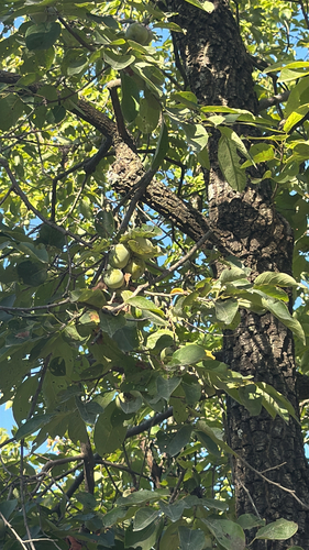

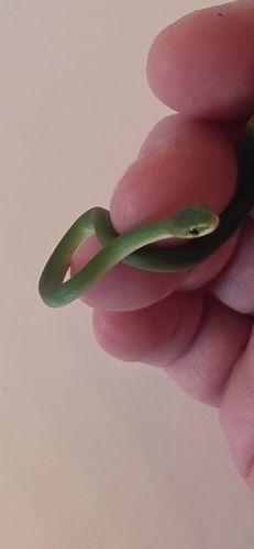
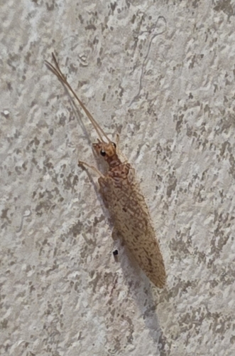
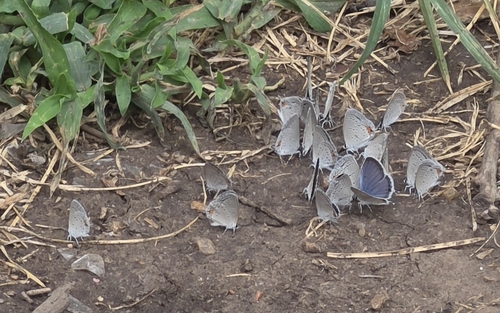

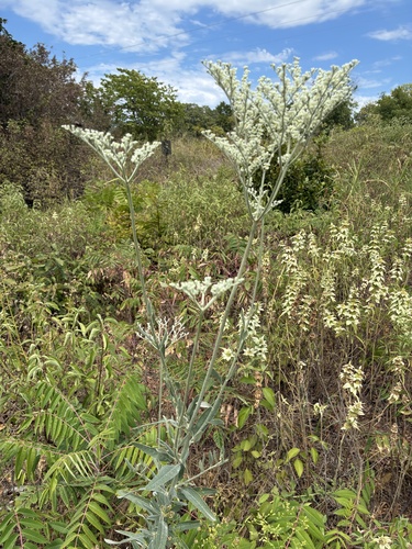
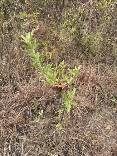
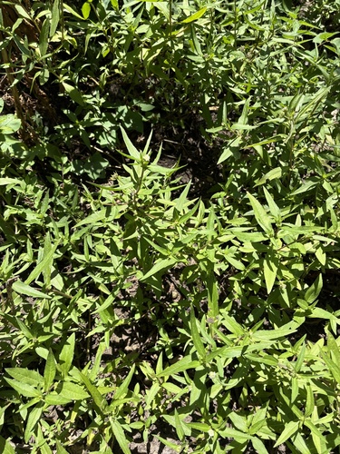
Research-grade observations from iNaturalist (within ~15 mi).
Nearest stream gauge
Events
Gallery
Sources
- • Wikipedia
- • US Census Bureau (ACS 5-year estimates)
- • NOAA National Weather Service
- • Wikidata
- • NCES via Urban Institute Education Data Portal
- • iNaturalist
- • CDC PLACES
- • Open-Meteo / sunrise-sunset.org
- • Wikipedia Pageviews API
- • Open Library
- • NASA EONET