Browse / United States / Oklahoma / Tulsa
Tulsa
Oklahomacity

Tulsa
Total population
413,652
Median home value
$234,400
Bachelor's+
Median income
$60,930
Founded
1836
Air quality index
Demographic figures from US Census Bureau · ACS 5-year estimates. Overview below cites Wikipedia and may reference a different year.
- Heat Advisory · ModerateHeat Advisory issued September 17 at 12:27PM CDT until September 17 at 7:00PM CDT by NWS Tulsa OK
Source: NOAA National Weather Service.
City facts
Facts from Wikidata (CC0).
Overview
Tulsa is the second-most-populous city in the U.S. state of Oklahoma and the 48th-most populous city in the United States. The population was 413,066 as of the 2020 census. It is the principal municipality of the Tulsa metropolitan area, a region with 1.06 million residents. The city serves as the county seat of Tulsa County, the most densely populated county in Oklahoma, with urban development extending into Osage, Rogers and Wagoner counties.
Read more on WikipediaHistory & geography
History
The area where Tulsa now exists is considered Indian Territory, on the land of the Kiikaapoi (Kickapoo), Wahzhazhe Ma zha (Osage), Muscogee (Creek), and Caddo tribes, among others. It was initially named after a Muscogee settlement in the southeastern United States called Tvlahasse with the short form Tallasi in the Muscogee language, which became Tullahassee or Tallise in Spanish. Etvlwv ahassee means "old town" in the Muscogean language. In 1540, Hernando de Soto became the first European to visit and document the original Tulsa in the southeast. Tvlahasse was a member of the Creek Confederacy and had a strong relationship with the town of Locvpokv and members of the two towns largely settled together after Indian Removal and the Trail of Tears in modern-day Tulsa. On March 28, 1836, Opothleyahola and the Muscogee (Creek) Nation established a small settlement called Lochapoka ("place of turtles" in Creek) under the Creek Council Oak Tree at the present-day intersection of Cheyenne Avenue and 18th Street. The area around Tulsa was also settled by members of the other so-called "Five Civilized Tribes" who had been relocated to Oklahoma from the Southern United States. Most of modern Tulsa is located in the Creek Nation, with parts located in the Cherokee and Osage Nations. After the War, the tribes signed Reconstruction treaties with the federal government that in some cases required substantial land concessions. In the years after the Civil War and around the turn of the century, the area along the Arkansas River that is now Tulsa was periodically home to or visited by a series of colorful outlaws, including the legendary Wild Bunch and the Dalton Gang. On August 7, 1882, the town was almost centered at a location just north of the current Whittier Square, when a…
Geography
Tulsa is located in the northeastern corner of Oklahoma between the edge of the Great Plains and the foot of the Ozarks in a generally forested region of rolling hills. The city touches the eastern extent of the Cross Timbers, an ecoregion of forest and prairie transitioning from the drier plains of the west to the wetter forests of the east. With a wetter climate than points westward, Tulsa serves as a gateway to "Green Country", a popular and official designation for northeast Oklahoma that stems from the region's green vegetation and relatively large number of hills and lakes compared to central and western areas of Oklahoma, which lie largely in the drier Great Plains region of the Central United States. Located near the western edge of the U.S. Interior Highlands, northeastern Oklahoma is the most topographically diverse part of the state, containing seven of Oklahoma's 11 eco-regions and more than half of its state parks. The region encompasses 30 lakes or reservoirs and borders the neighboring states of Kansas, Missouri, and Arkansas. The city developed on both sides of the prominent Arkansas River, which flows in a wide, sandy-bottomed channel. Its flow through Tulsa is controlled by reservoirs at Keystone Lake, and a low-water dam was built at Zink Lake in downtown Tulsa to maintain a full channel at all times. This dam deteriorated and eventually failed, and was repaired and reopened in 2014. Heavily wooded and with abundant parks and water areas, the city has several prominent hills, such as "Shadow Mountain" and "Turkey Mountain", which create varied terrain, especially in its southern portions. While its central and northern sections are generally flat to gently undulating, the Osage Hills extension into the northwestern part of the city further varies…
Excerpted from the corresponding Wikipedia article (CC BY-SA).
Demographics & economy
Race & ethnicity
Source: US Census Bureau — American Community Survey, 5-year estimates.
Geography
Coordinates & boundaries from the US Census TIGER/Line shapefiles.
Climate
Current forecast
Forecast for Tulsa, OK from NOAA NWS API.
Air quality
Current readings from Open-Meteo Air Quality API (Copernicus CAMS European reanalysis).
Industrial & pollution facilities
Natural hazard risk
Health (adults)
Age-adjusted prevalence estimates from CDC PLACES (latest release).
Walkability
Amenities nearby
Wildlife & biodiversity
Most-observed species
- Northern CardinalCardinalis cardinalis (Linnaeus, 1758) · Aves13,538
- Blue JayCyanocitta cristata (Linnaeus, 1758) · Aves8,835
- Carolina ChickadeePoecile carolinensis (Audubon, 1834) · Aves8,452
- American RobinTurdus migratorius Linnaeus, 1766 · Aves8,397
- Carolina WrenThryothorus ludovicianus (Latham, 1790) · Aves8,237
- House SparrowPasser domesticus (Linnaeus, 1758) · Aves7,320
- European StarlingSturnus vulgaris Linnaeus, 1758 · Aves6,798
- Downy WoodpeckerDryobates pubescens (Linnaeus, 1766) · Aves6,659
Citizen-science & research observations from the Global Biodiversity Information Facility (GBIF).
Schools
Largest nearby schools
- BROKEN ARROW HSHigh · Broken Arrow · 4,589 students · 20:1 ratio
- JENKS HSHigh · Jenks · 3,547 students · 18.9:1 ratio
- UNION HSHigh · Tulsa · 3,355 students · 21.1:1 ratio
- UNION 6TH-7TH GRADE CTRMiddle · Tulsa · 2,182 students · 16.7:1 ratio
- JENKS WEST ESElementary · Jenks · 1,998 students · 17.1:1 ratio
- JENKS MSMiddle · Jenks · 1,831 students · 18.9:1 ratio
- JENKS EAST ESElementary · Jenks · 1,443 students · 16:1 ratio
- BROKEN ARROW FRESHMAN ACADEMYOther · Broken Arrow · 1,305 students · 20.1:1 ratio
Public K–12 schools within ~10 mi from Urban Institute Education Data Portal (NCES Common Core of Data, 2022).
Earthquake history
Most recent
- M 2.9 — 2026-09-115 km N of Stroud, Oklahoma
- M 2.7 — 2026-05-205 km N of Stroud, Oklahoma
- M 2.82 — 2026-01-068 km SE of Sparks, Oklahoma
- M 2.76 — 2025-11-269 km SE of Sparks, Oklahoma
- M 3.18 — 2025-05-2311 km NW of Pawnee, Oklahoma
- M 2.79 — 2025-05-128 km NNW of Prague, Oklahoma
Events from the USGS Earthquake Catalog (global) (FDSN Event Web Service).
Photos
Sights & places nearby
Notable people from here


People born within ~10 km, from Wikidata (CC0). Click any name for their Wikipedia article.
Nearby places in Oklahoma
- Turley9 mi away
- Jenks9.8 mi away · pop. 27,102
- Sand Springs12.8 mi away
- Valley Park14 mi away · pop. 14
- Sapulpa15 mi away · pop. 21,929
- Leonard15.3 mi away · pop. 165
- Skiatook15.3 mi away
- Limestone15.5 mi away
- Verdigris16 mi away
- Collinsville16.8 mi away · pop. 8,878
- Kellyville19.6 mi away · pop. 1,047
- Prue22 mi away
Geography & sun
Elevation, sunrise/sunset and daylight from Open-Meteo. Solar climatology from NASA POWER.
Nearby airports
Public attention
Pageview totals from the Wikimedia Pageviews API.
Books about Tulsa


Search results from Open Library.
Recent natural events nearby
- Wildfire BISON, Osage, OklahomaWildfires · 2026-08-21 · 57 mi
- Wildfire B.B, Osage, OklahomaWildfires · 2026-08-06 · 62 mi
- Wildfire WRIGHT, Hughes, OklahomaWildfires · 2026-08-29 · 64 mi
- Wildfire Buck Creek, Pushmataha, OklahomaWildfires · 2026-08-25 · 113 mi
- Wildfire Atoka Lake, Atoka, OklahomaWildfires · 2026-09-14 · 119 mi
- Wildfire Alexander Trail Fire, Pushmataha, OklahomaWildfires · 2026-08-30 · 119 mi
- Wildfire Alexander Trail, Pushmataha, OklahomaWildfires · 2026-08-30 · 119 mi
- Wildfire Snake Mountain, Pushmataha, OklahomaWildfires · 2026-08-14 · 121 mi
Wildfires, storms and other events from NASA EONET (last 12 months, within 250 mi).
Ground air-quality sensors
Recently spotted species
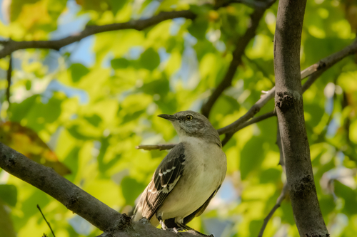
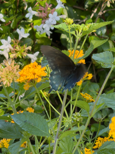
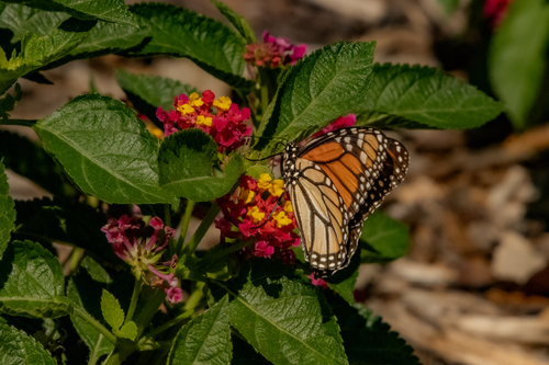
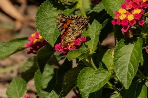
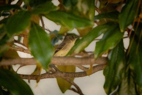
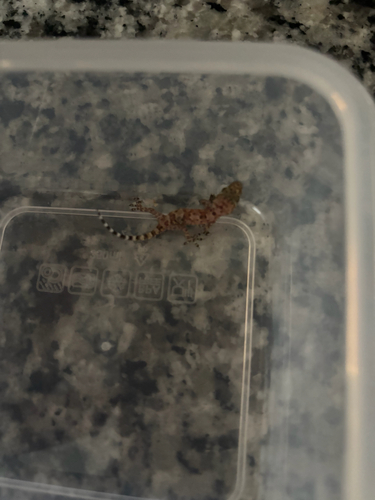
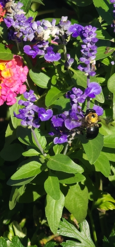
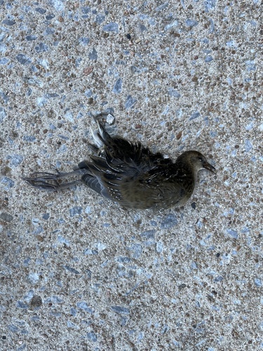

Research-grade observations from iNaturalist (within ~15 mi).
Nearest stream gauge
Events
Notable, recurring, and historical events associated with Tulsa, sourced from Wikidata.
Source: Wikidata (CC0).
Gallery
Sources
- • Wikipedia
- • US Census Bureau (ACS 5-year estimates)
- • NOAA National Weather Service
- • Wikidata
- • Open-Meteo Air Quality (CAMS)
- • USGS Earthquake Catalog (global feed)
- • NCES via Urban Institute Education Data Portal
- • GBIF (Global Biodiversity Information Facility)
- • iNaturalist
- • CDC PLACES
- • Open-Meteo / sunrise-sunset.org
- • Wikipedia Pageviews API
- • Open Library
- • NASA EONET