Browse / Oman / Oman / Al Hamra
Al Hamra
Omantown

Al Hamra
Total population
15,681
Demographic figures from National Centre for Statistics and Information (Oman). Overview below cites Wikipedia and may reference a different year.
City facts
Overview
Al Hamra is a 400-year-old town in the region Ad Dakhiliyah, in northeastern Oman. As a province (wilayat), it is home to a number of villages including the mountainside village of Misfat Al Abryeen, with the village of Ghul to the northwest of the town, and Bimah to the north-northeast. The town and province lie on the southern slopes of the Akhdar Mountains.
Read more on WikipediaHistory & geography
History
During the rule of Imam Saif bin Sultan, the fourth ruler of the Yaruba dynasty, Al Hamra was settled in the late 17th century by the Al Abri tribes. Notable for a number of Yemeni-style, mud-brick buildings, many of its houses have been abandoned due to its inhabitants moving into modern buildings. Before the year 1066 AH, the province of Al-Hamra was composed of scattered ancient villages and scattered oases known as the Kadam region. This is how Sheikh Ibrahim bin Saeed Al-Abri, the former Mufti of the Sultanate, described it as the area located north of Bahla to the foothills of the Green Mountain. It included several villages, including Bilad Sit, Al-Hamra, Al-Qarya, Al-Qal'a, Al-Arid, and Dhath Khayl. However, after the aforementioned date, the people of Al-Hamra collaborated with the Ya'arabah tribe. Sheikh Ibrahim bin Saeed Al-Abri mentioned in his statement: "As we mentioned earlier, these people are from the people of the Mafsah region, because the land of Al-Hamra was not inhabited and did not have a river until the year 1066 AH, as I saw in the writings of Sheikh Rashid bin Raja Al-Abri. Imam Sultan bin Saeed bin Malik Al-Ya'arabi and his followers, the Al-Abri people, started working on the Falaj Al-Hamra in the first month of Jumada Al-Akhirah in the year 1066 AH. However, he did not mention the exact time when its water flowed. We heard from the scholars that its service was gradual, and at that time, its water used to dry up at the first location in this area. The work is still ongoing until its water flowed during the days of Sheikh Malik bin Rashid in the early 13th century. This flowing water is known as Al-Kiyumi's freedom because it flowed by the hand of a man from the Al-Kiyumi tribe. A flowing water is a spring that emerges from the ground or…
Geography
It is the second largest cave in the Sultanate of Oman after Majlis Al Jinn cave in the Quriyat Governorate. The cave is named Hoota after the nearby village. It is located approximately 10 kilometers from the center of the governorate. The journey inside the cave begins with a train ride, taking visitors from the reception area on a five-minute journey through mountainous and valley landscapes to the mouth of the cave. After that, the journey continues on foot in a circular route until exiting through the same entrance. Media outlets have reported that the Omani cave exploration team has successfully explored three caves in the village of Misfat Al Abriyeen in the Al Hamra Governorate, one of which has never been descended into before. These caves are known by the locals of Misfat Al Abriyeen as Al Khud Cave, Harf Al Qana Cave, and Ghweir Al Tain Cave. The team is currently surveying these caves to produce accurate geological maps and various cross-sections that show the details of the cave passages and formations present in them." "Harf Al Qana Cave and Ghweir Al Tain Cave have vertical depths exceeding 100 meters underground, requiring the use of long ropes and expertise in climbing and descending on ropes to access them. They extend for a total of more than 500 meters in a southerly direction along the rock formations. These two caves are abundant in water pools, narrow passages, and slopes. According to the local page, Harf Al Qana Cave was previously known and descended into by three foreigners in the 1980s, about thirty years ago for the first time, and they named it Hell Cave due to its high temperature and humidity. On the other hand, Ghweir Al Tain Cave is a new discovery by the Omani cave exploration team. The third cave is known as Al Khud Cave, and it is…
Excerpted from the corresponding Wikipedia article (CC BY-SA).
Geography
Coordinates & boundaries from the US Census TIGER/Line shapefiles.
Climate
Air quality
Walkability
Amenities nearby
Wildlife & biodiversity
Most-observed species
- Egyptian VultureNeophron percnopterus (Linnaeus, 1758) · Aves171
- Hume's WheatearOenanthe albonigra (Hume, 1872) · Aves129
- Pale Crag MartinPtyonoprogne obsoleta (Cabanis, 1850) · Aves101
- White-spectacled BulbulPycnonotus xanthopygos (Hemprich & Ehrenberg, 1833) · Aves89
- Laughing DoveSpilopelia senegalensis (Linnaeus, 1766) · Aves85
- House SparrowPasser domesticus (Linnaeus, 1758) · Aves84
- Lappet-faced VultureTorgos tracheliotos (J.R.Forster, 1796) · Aves79
- Brown-necked RavenCorvus ruficollis Lesson, 1831 · Aves75
Citizen-science & research observations from the Global Biodiversity Information Facility (GBIF).
Earthquake history
Events from the USGS Earthquake Catalog (global) (FDSN Event Web Service).
Photos
Sights & places nearby
Notable people from here
Geography & sun
Elevation, sunrise/sunset and daylight from Open-Meteo. Solar climatology from NASA POWER.
Nearby airports
Public attention
Pageview totals from the Wikimedia Pageviews API.
Books about Al Hamra
Search results from Open Library.
Recent natural events nearby
Ground air-quality sensors
Recently spotted species
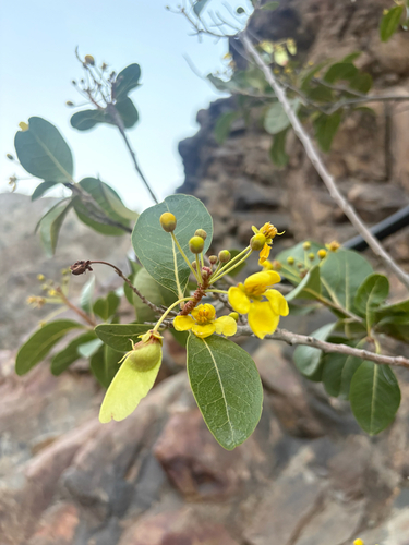
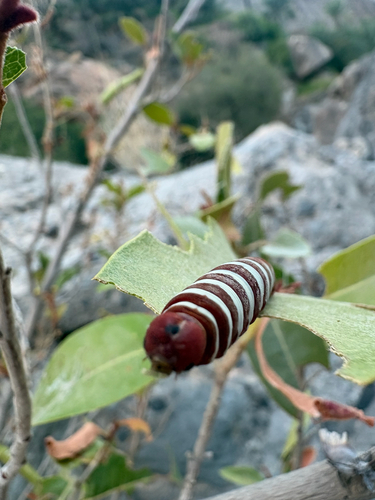
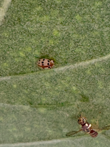
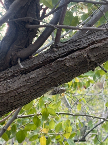
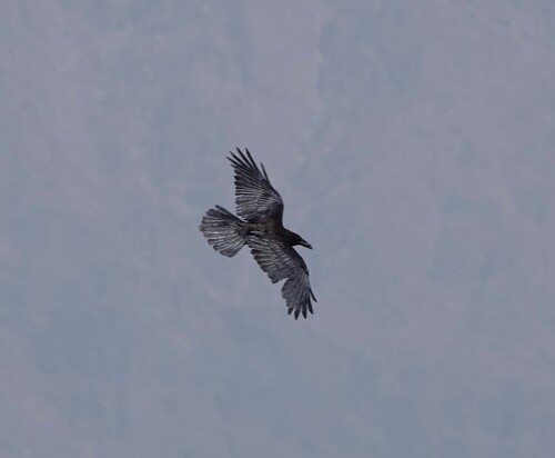
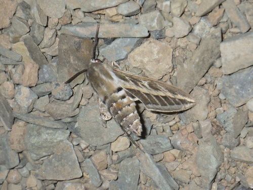
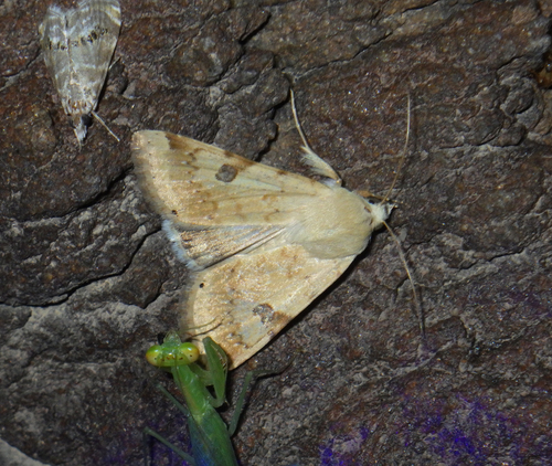
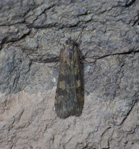
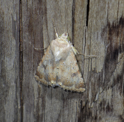
Research-grade observations from iNaturalist (within ~15 mi).
Events
Gallery
Geotagged photos within ~6 miles of Al Hamra, from Wikimedia Commons contributors.
 0.4 mi
 0.5 mi
 0.5 mi
 0.5 mi
 0.5 mi
 0.5 mi
 0.7 mi
 0.7 mi
 0.7 mi
 0.7 mi
 0.8 mi
 0.8 mi
 0.8 mi
 0.8 mi
 0.8 mi
 0.8 mi
 0.8 mi
 0.8 mi
 0.8 mi
 0.8 mi
 0.8 mi
 0.8 mi
 0.8 mi
 0.8 mi
Photos via Wikimedia Commons — see each image page for license & attribution.
Sources
- • Wikipedia
- • Wikimedia Commons
- • USGS Earthquake Catalog (global feed)
- • GBIF (Global Biodiversity Information Facility)
- • iNaturalist
- • Open-Meteo / sunrise-sunset.org
- • Wikipedia Pageviews API
- • Open Library