Browse / Oman / Oman / Al Jādī
Al Jādī
Omanvillage
Total population
654
Demographic figures from National Centre for Statistics and Information (Oman). Overview below cites Wikipedia and may reference a different year.
City facts
Overview
Situated in Oman, Al Jādī is a small village. Recent open-data figures place its population at about 654. Coordinates of 26.163°, 56.171° situate Al Jādī in the subtropical zone of the northern hemisphere. Its latitude implies a climate characterised by hot summers and mild winters typical of the subtropics. Continue scrolling for population, climate, environmental and points-of-interest data drawn from public sources.
Summary composed automatically from structured open data on this page. See our Terms for details.
History & geography
Geography
Coordinates & boundaries from the US Census TIGER/Line shapefiles.
Climate
Air quality
Walkability
Amenities nearby
Wildlife & biodiversity
Most-observed species
- House SparrowPasser domesticus (Linnaeus, 1758) · Aves52
- Laughing DoveSpilopelia senegalensis (Linnaeus, 1766) · Aves45
- Rock PigeonColumba livia J.F.Gmelin, 1789 · Aves43
- Socotra CormorantPhalacrocorax nigrogularis Ogilvie-Grant & H.O.Forbes, 1899 · Aves41
- White-eared BulbulPycnonotus leucotis (Gould, 1836) · Aves39
- House CrowCorvus splendens Vieillot, 1817 · Aves38
- Common MynaAcridotheres tristis (Linnaeus, 1766) · Aves31
- Indian RollerCoracias benghalensis (Linnaeus, 1758) · Aves28
Citizen-science & research observations from the Global Biodiversity Information Facility (GBIF).
Earthquake history
Most recent
- M 4.3 — 2025-11-049 km SW of Dibba Al-Fujairah, United Arab Emirates
- M 4.2 — 2023-11-2532 km W of Qeshm, Iran
- M 4.3 — 2022-07-0125 km SSE of Khasab, Oman
- M 4.6 — 2020-07-2730 km W of Qeshm, Iran
- M 4 — 2020-07-2528 km NE of Dib Dibba, Oman
- M 4 — 2020-07-2519 km SSE of Qeshm, Iran
Events from the USGS Earthquake Catalog (global) (FDSN Event Web Service).
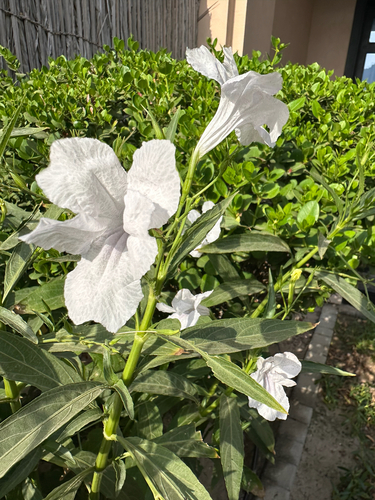
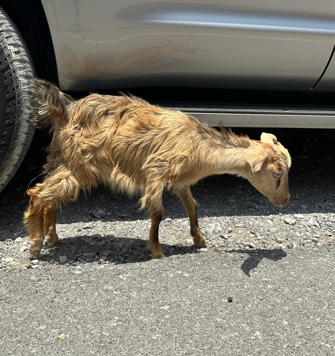
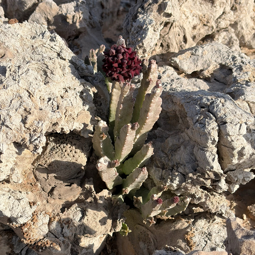
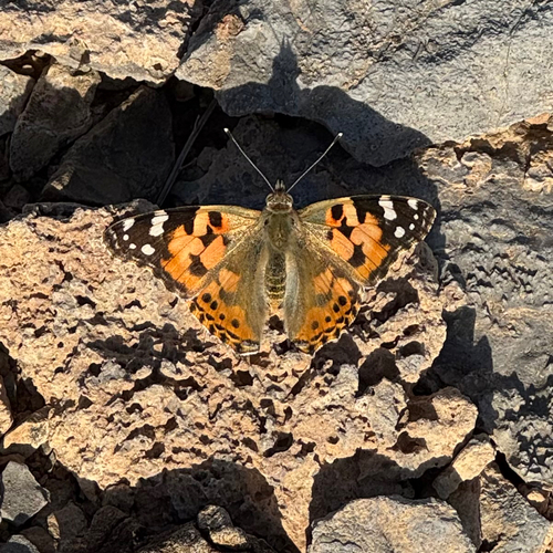
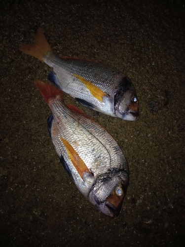
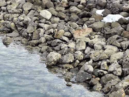
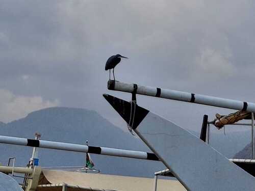
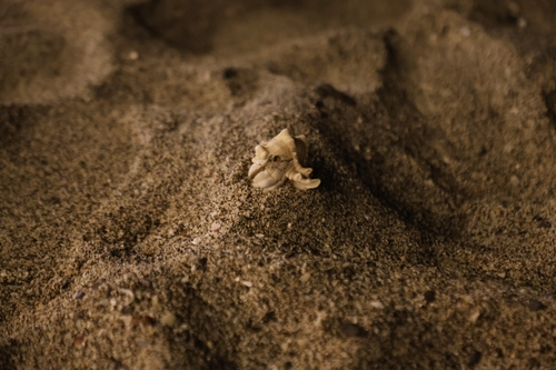
Photos
Sights & places nearby
Notable people from here
Geography & sun
Nearby airports
Public attention
Books about this place
Recent natural events nearby
Ground air-quality sensors
Recently spotted species
Research-grade observations from iNaturalist (within ~15 mi).
Events
Gallery
Sources
- • Wikidata
- • USGS Earthquake Catalog (global feed)
- • GBIF (Global Biodiversity Information Facility)
- • iNaturalist