Browse / United States / Oregon / Florence
Florence
Oregoncity

Florence
Total population
9,482
Median home value
$358,300
Bachelor's+
Median income
$53,333
Founded
1893
Air quality index
Demographic figures from US Census Bureau · ACS 5-year estimates. Overview below cites Wikipedia and may reference a different year.
- Heat Advisory · ModerateHeat Advisory issued June 13 at 11:00AM PDT until June 14 at 11:00PM PDT by NWS Portland OR
Source: NOAA National Weather Service.
City facts
Facts from Wikidata (CC0).
Overview
Florence is a coastal city in Lane County, in the U.S. state of Oregon. It lies at the mouth of the Siuslaw River on the Pacific Ocean and about midway between Newport to the north and Coos Bay to the south along U.S. Route 101. As of August 14, 2023, the city had a total population of 9,553.
Read more on WikipediaHistory & geography
History
The Florence area was originally inhabited by the Siuslaw tribe of Native Americans. Some claim that the city was named after state senator A. B. Florence, who represented Lane County from 1858 to 1860; another claim is that Florence was named after a French vessel that was wrecked at the mouth of the Siuslaw River on February 17, 1875. On November 12, 1970, Florence was the site of a famous scene when the Oregon Department of Transportation used 20 cases of explosives to try to blow up a dead beached whale, with unintended consequences. The explosion was supposed to send pieces of whale flying towards the ocean, but many pieces were blown in the opposite direction, crushing a car over away and covering bystanders in small bits of whale. In 2020, residents voted to name a new park Exploding Whale Memorial Park. The Florence City Council brought national attention to Florence after it approved a poorly-worded ordinance at its regular meeting on November 26, 1977. Intending to prevent people from having sexual intercourse in view of bystanders, the council approved a measure that made it illegal to have sex "while in or in view of a public or private place." Days later, a re-reading of the ordinance showed that it applied to sex in private. According to the United Press International report that followed days later, "City officials said they would not enforce the new ordinance until it could be amended."
Geography
Florence is located on the Oregon Coast, at the mouth of the Siuslaw River, just north of Oregon Dunes National Recreation Area. It is situated at nearly the same latitude as Eugene, and is located roughly midway between the other main central-coast cities of Newport and Coos Bay. Florence annexed Driftwood Shores Hotel and Conference Center, north of town, in Heceta Beach, in 2008. To the south of Florence, the unincorporated community of Glenada lies just across the Siuslaw River on U.S. Route 101; the city of Yachats is to the north. According to the United States Census Bureau, the city has a total area of , of which is land and is water.
Excerpted from the corresponding Wikipedia article (CC BY-SA).
Demographics & economy
Race & ethnicity
Source: US Census Bureau — American Community Survey, 5-year estimates.
Geography
Coordinates & boundaries from the US Census TIGER/Line shapefiles.
Climate
Current forecast
Forecast for Florence, OR from NOAA NWS API.
Air quality
Current readings from Open-Meteo Air Quality API (Copernicus CAMS European reanalysis).
Industrial & pollution facilities
Natural hazard risk
Health (adults)
Walkability
Amenities nearby
Wildlife & biodiversity
Most-observed species
- American CrowCorvus brachyrhynchos C.L.Brehm, 1822 · Aves6,301
- Western GullLarus occidentalis Audubon, 1839 · Aves4,845
- Song SparrowMelospiza melodia (A.Wilson, 1810) · Aves4,016
- American RobinTurdus migratorius Linnaeus, 1766 · Aves3,505
- White-crowned SparrowZonotrichia leucophrys (J.R.Forster, 1772) · Aves3,355
- Steller's JayCyanocitta stelleri (Gmelin, 1788) · Aves3,201
- Double-crested CormorantPhalacrocorax auritus (Lesson, 1831) · Aves3,190
- Pelagic CormorantPhalacrocorax pelagicus Pallas, 1811 · Aves3,028
Citizen-science & research observations from the Global Biodiversity Information Facility (GBIF).
Schools
Largest nearby schools
- Siuslaw Elementary SchoolElementary · Florence · 520 students · 14.9:1 ratio
- Siuslaw High SchoolHigh · Florence · 459 students · 14.8:1 ratio
- Siuslaw Middle SchoolMiddle · Florence · 270 students · 12.3:1 ratio
- Ocean Dunes High SchoolHigh · Florence · 6 students
Public K–12 schools within ~10 mi from Urban Institute Education Data Portal (NCES Common Core of Data, 2022).
Earthquake history
Most recent
- M 2.65 — 2026-02-0820 km W of Newport, Oregon
- M 2.5 — 2025-09-0271 km W of Yachats, Oregon
- M 2.83 — 2025-03-2257 km W of Waldport, Oregon
- M 2.68 — 2024-12-2927 km WNW of Yachats, Oregon
- M 2.5 — 2023-11-2266 km W of Florence, Oregon
- M 3.11 — 2023-11-1039 km WNW of Yachats, Oregon
Events from the USGS Earthquake Catalog (global) (FDSN Event Web Service).
Photos
Sights & places nearby
Notable people from here
People born within ~10 km, from Wikidata (CC0). Click any name for their Wikipedia article.
Nearby places in Oregon
Geography & sun
Elevation, sunrise/sunset and daylight from Open-Meteo. Solar climatology from NASA POWER.
Nearby airports
Public attention
Pageview totals from the Wikimedia Pageviews API.
Books about Florence
Search results from Open Library.
Recent natural events nearby
- PINE MOUNTAIN Wildfire, Deschutes, OregonWildfires · 2026-05-07 · 159 mi
- 0231 ZEN Wildfire, Wasco, OregonWildfires · 2026-05-25 · 191 mi
- HAYSTACK BUTTE Wildfire, Klickitat, WashingtonWildfires · 2026-05-30 · 194 mi
Wildfires, storms and other events from NASA EONET (last 12 months, within 250 mi).
Ground air-quality sensors
Recently spotted species
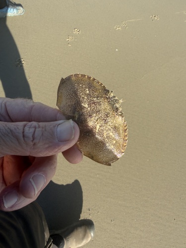
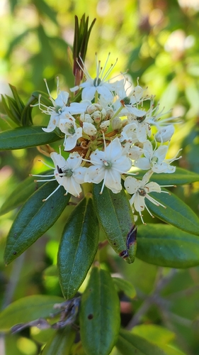
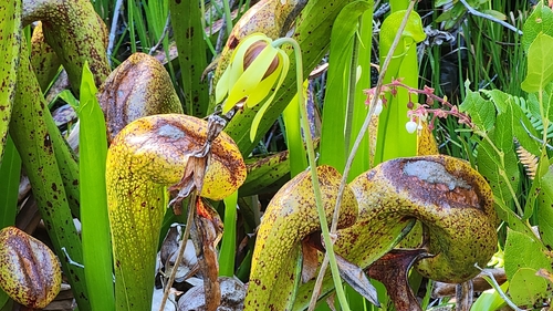
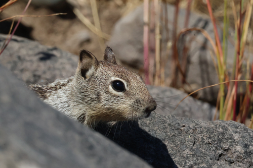
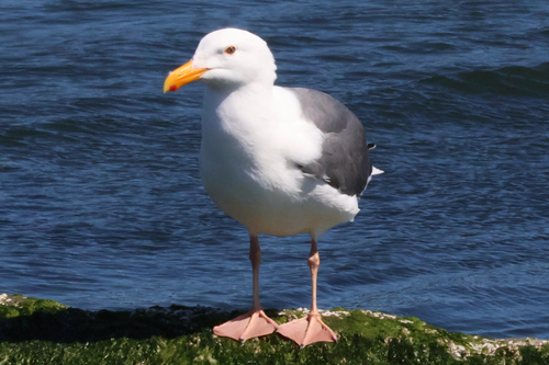
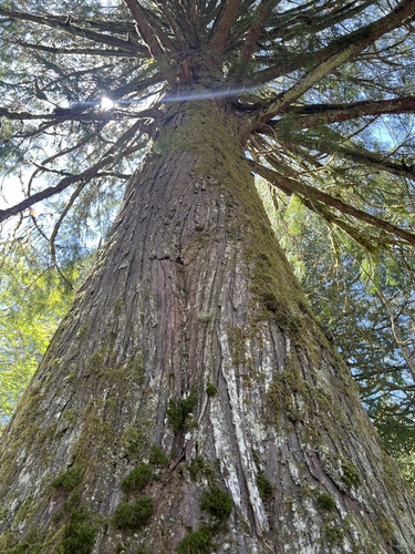
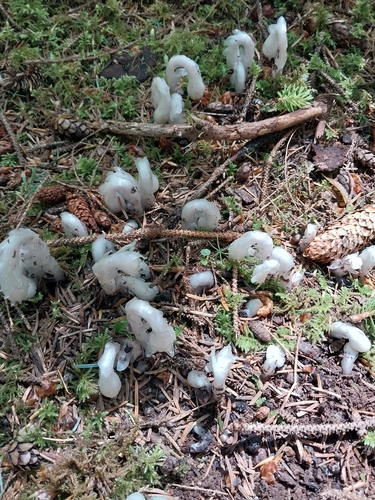
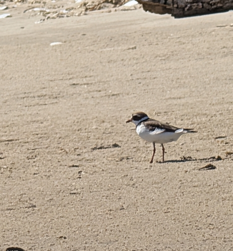
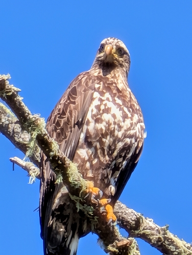
Research-grade observations from iNaturalist (within ~15 mi).
Nearest stream gauge
Live readings from USGS NWIS · measured 2026-06-13 19:00 UTC.
Events
Gallery
Geotagged photos within ~6 miles of Florence, from Wikimedia Commons contributors.
 0.6 mi
.jpg) 0.6 mi
0.6 mi 0.7 mi
 0.7 mi
 0.7 mi
 0.7 mi
 0.7 mi
 0.7 mi
 1.1 mi
 1.1 mi
 1.1 mi
 1.1 mi
 1.1 mi
 1.1 mi
 1.2 mi
.jpg) 1.2 mi
1.2 mi.jpg) 1.2 mi
1.2 mi.jpg) 1.2 mi
1.2 mi.jpg) 1.3 mi
1.3 mi 1.3 mi
 1.3 mi
 1.4 mi
 1.4 mi
 1.4 mi
Photos via Wikimedia Commons — see each image page for license & attribution.
Sources
- • Wikipedia
- • US Census Bureau (ACS 5-year estimates)
- • NOAA National Weather Service
- • Wikimedia Commons
- • Wikidata
- • Open-Meteo Air Quality (CAMS)
- • USGS Earthquake Catalog (global feed)
- • USGS NWIS (water data)
- • NCES via Urban Institute Education Data Portal
- • GBIF (Global Biodiversity Information Facility)
- • iNaturalist
- • Open-Elevation
- • Open-Meteo / sunrise-sunset.org
- • Wikipedia Pageviews API
- • Open Library
- • NASA EONET