Browse / United States / Oregon / Fossil
Fossil
Oregoncity

Fossil
Total population
535
Median home value
$210,500
Bachelor's+
Median income
$54,167
Demographic figures from US Census Bureau · ACS 5-year estimates. Overview below cites Wikipedia and may reference a different year.
City facts
Overview
Fossil is a city in and the county seat of Wheeler County, Oregon, United States. The name was chosen by the first postmaster, Thomas B. Hoover, who had found some fossil remains on his ranch. As of the 2020 census, Fossil had a population of 447.
Read more on WikipediaHistory & geography
History
The Fossil post office was established on February 28, 1876, on Thomas Benton Hoover's ranch along Hoover Creek. He named the place Fossil after finding fossils in a clay-like rock formation on his ranch. In 1881, Hoover and Thomas Watson opened a store near the confluence of Butte and Cottonwood creeks and moved the post office to the store. When the city was incorporated in 1891, Hoover became the first mayor. After creating Wheeler County in 1899, the Oregon Legislature chose Fossil as the temporary county seat. A county-wide election held in 1900 to determine the permanent county seat yielded 436 votes for Fossil, 267 for Twickenham, and 82 for Spray. Winlock W. Steiwer and George S. Carpenter founded Steiwer & Carpenter Bank, the first bank in the city and the county. By the early 20th century in addition to the bank, Fossil had a flour mill, a blacksmith shop, a drug store, a jewelry and optical store, a livery stable, and three stores with general merchandise. In the 1920s, William Jennings Bryan was one of the guest speakers at a Chautauqua meeting in Fossil. Later in the decade the John Day Valley Coal & Oil Company drilled an exploratory oil well within the city limits, but it was not successful.
Geography
Fossil is the county seat of Wheeler County. According to the United States Census Bureau, the city has a total area of , all of it land. Fossil is located in north-central Oregon at the intersection of Oregon Route 19 with Oregon Route 218. Butte Creek, a tributary of the John Day River, flows through the city. The Clarno Unit of the John Day Fossil Beds National Monument is west of the city along Route 218. The city is about northwest of Spray and about south of Condon along Route 19. |source 2 = National Weather Service }}
Excerpted from the corresponding Wikipedia article (CC BY-SA).
Demographics & economy
Race & ethnicity
Source: US Census Bureau — American Community Survey, 5-year estimates.
Geography
Coordinates & boundaries from the US Census TIGER/Line shapefiles.
Climate
Current forecast
Forecast for Fossil, OR from NOAA NWS API.
Air quality
Industrial & pollution facilities
Natural hazard risk
Health (adults)
Age-adjusted prevalence estimates from CDC PLACES (latest release).
Walkability
Amenities nearby
Wildlife & biodiversity
Schools
Largest nearby schools
- Fossil Charter SchoolOther · Fossil · 1,778 students · 43.4:1 ratio
Public K–12 schools within ~10 mi from Urban Institute Education Data Portal (NCES Common Core of Data, 2022).
Earthquake history
Photos
Sights & places nearby
Notable people from here
Nearby places in Oregon
Geography & sun
Elevation, sunrise/sunset and daylight from Open-Meteo. Solar climatology from NASA POWER.
Nearby airports
Public attention
Pageview totals from the Wikimedia Pageviews API.
Books about Fossil


Search results from Open Library.
Recent natural events nearby
- Wildfire 0567 LITTLE BUCK, Wasco, OregonWildfires · 2026-07-23 · 21 mi
- Wildfire Ruggs, Morrow, OregonWildfires · 2026-08-31 · 31 mi
- Wildfire 0611 GREEN MOUNTAIN, Crook, OregonWildfires · 2026-07-24 · 45 mi
- Wildfire COTTONWOOD, Grant, OregonWildfires · 2026-08-06 · 48 mi
- Wildfire 0658 ROUND BUTTE, Jefferson, OregonWildfires · 2026-08-01 · 57 mi
- Wildfire 8 MILE, Wasco, OregonWildfires · 2026-07-24 · 60 mi
- Wildfire Bench, Jefferson, OregonWildfires · 2026-07-23 · 61 mi
- Wildfire Beachcomb, Jefferson, OregonWildfires · 2026-07-23 · 62 mi
Wildfires, storms and other events from NASA EONET (last 12 months, within 250 mi).
Ground air-quality sensors
Recently spotted species
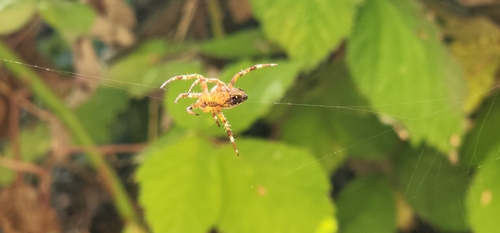
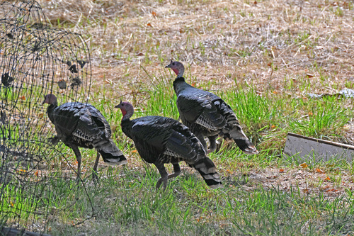
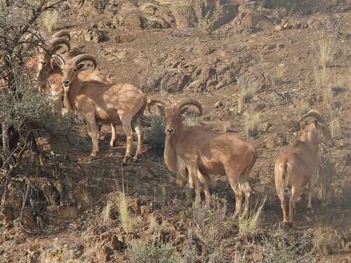
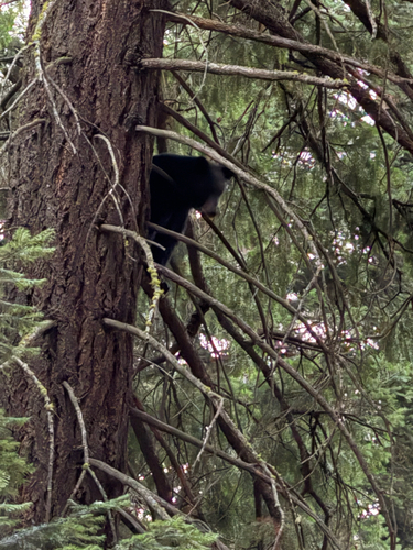
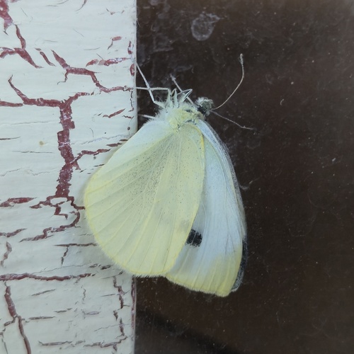
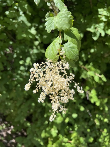
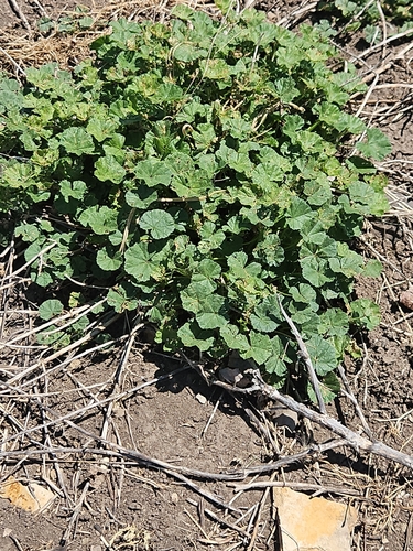
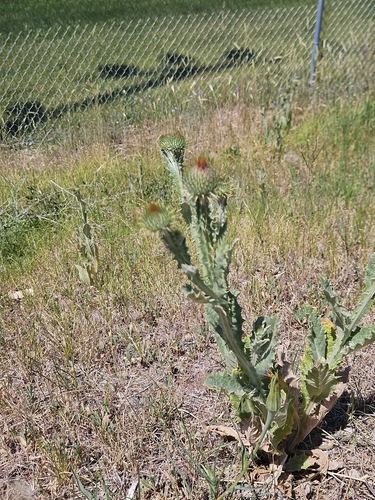
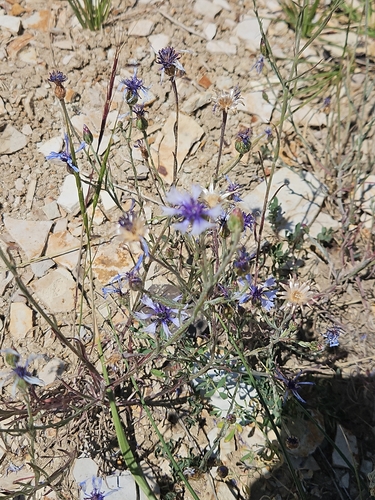
Research-grade observations from iNaturalist (within ~15 mi).
Nearest stream gauge
Events
Gallery
Sources
- • Wikipedia
- • US Census Bureau (ACS 5-year estimates)
- • NOAA National Weather Service
- • NCES via Urban Institute Education Data Portal
- • iNaturalist
- • CDC PLACES
- • Open-Meteo / sunrise-sunset.org
- • Wikipedia Pageviews API
- • Open Library
- • NASA EONET