Browse / United States / Oregon / Idanha
Idanha
Oregoncity

Idanha
Total population
201
Median home value
$263,100
Bachelor's+
Median income
$40,208
Founded
1949
Demographic figures from US Census Bureau · ACS 5-year estimates. Overview below cites Wikipedia and may reference a different year.
City facts
Facts from Wikidata (CC0).
Overview
Idanha is a city on the Marion County/Linn County line in Oregon, United States, on Oregon Route 22 and the North Santiam River. The population was 156 at the 2020 census.
Read more on WikipediaHistory & geography
History
The North Santiam River corridor was used by the Santiam Kalapuya for travel, food gathering, and trade, and was later traversed by Euro-American fur trappers. The locality at present-day Idanha was originally known as Muskrat Camp. A hotel served travelers, anglers, and hunters, and its proprietor adopted the name Idanha from a mineral-water brand bottled in Soda Springs, Idaho. The Oregon Pacific Railroad was intended to cross the Cascade Range and continue east toward Idaho. Its tracks reached Idanha at the end of December 1889, but the company entered receivership in October 1890 and construction east of the community was never resumed. As the eastern terminus of the completed line, Idanha became a departure point for hunting and fishing excursions into the Cascades. In 1949, residents debated whether Idanha should incorporate separately or become part of a combined municipality with nearby Detroit, much of whose original townsite was to be inundated by the dam reservoir. Voters rejected an initial joint-incorporation proposal and subsequently approved the separate incorporation of Idanha by a vote of 190 to 8. The Marion County court certified the result in December 1949. The Oregon Blue Book lists March 15, 1950, as the city's official incorporation date. Changes in the management and harvesting of federal forests contributed to the closure of Idanha-area mills by the mid-1990s. Logging continued on a smaller scale, while the local economy increasingly served outdoor recreation and travelers using Oregon Route 22 to reach Detroit Lake, the Santiam Pass, and central Oregon.
Geography
Idanha is in eastern Marion and Linn counties, with the North Santiam River forming the county line and separating the two settled areas within the town limits. The area on the southern, Linn County side is shown on U.S. Geological Survey maps as New Idanha. Oregon Route 22 runs along the northern, Marion County side of the river and leads west to Salem, the state capital. In the other direction Route 22 leads east and south to U.S. Route 20 at Santiam Junction. According to the U.S. Census Bureau, the city of Idanha has a total area of , of which , or 4.15%, are water.
Excerpted from the corresponding Wikipedia article (CC BY-SA).
Demographics & economy
Race & ethnicity
Source: US Census Bureau — American Community Survey, 5-year estimates.
Geography
Coordinates & boundaries from the US Census TIGER/Line shapefiles.
Climate
10-year averages from ERA5 reanalysis (Open-Meteo).
Current forecast
Forecast for Idanha, OR from NOAA NWS API.
Air quality
Industrial & pollution facilities
Natural hazard risk
Health (adults)
Age-adjusted prevalence estimates from CDC PLACES (latest release).
Walkability
Amenities nearby
Wildlife & biodiversity
Most-observed species
- Steller's JayCyanocitta stelleri (Gmelin, 1788) · Aves444
- Common MerganserMergus merganser Linnaeus, 1758 · Aves431
- American RobinTurdus migratorius Linnaeus, 1766 · Aves405
- Canada Goose (canadensis Group)Branta canadensis (Linnaeus, 1758) · Aves324
- Common RavenCorvus corax Linnaeus, 1758 · Aves321
- White-crowned SparrowZonotrichia leucophrys (J.R.Forster, 1772) · Aves298
- MallardAnas platyrhynchos Linnaeus, 1758 · Aves290
- Dark-eyed JuncoJunco hyemalis (Linnaeus, 1758) · Aves243
Citizen-science & research observations from the Global Biodiversity Information Facility (GBIF).
Schools
Earthquake history
Most recent
- M 3.18 — 2025-11-235 km SE of Amity, Oregon
- M 2.66 — 2024-08-3014 km ESE of Molalla, Oregon
- M 2.56 — 2023-06-06Washington-Oregon border region
- M 2.99 — 2023-06-068 km NNE of Government Camp, Oregon
- M 4.39 — 2022-10-0716 km ESE of Lacomb, Oregon
- M 2.7 — 2022-05-254 km WNW of Molalla, Oregon
Events from the USGS Earthquake Catalog (global) (FDSN Event Web Service).
Photos
Sights & places nearby
Notable people from here
Nearby places in Oregon
Geography & sun
Elevation, sunrise/sunset and daylight from Open-Meteo. Solar climatology from NASA POWER.
Nearby airports
Public attention
Pageview totals from the Wikimedia Pageviews API.
Books about this place
Recent natural events nearby
- Wildfire Austin Non-Stat, Clackamas, OregonWildfires · 2026-08-12 · 23 mi
- Wildfire AUSTIN, Clackamas, OregonWildfires · 2026-08-09 · 23 mi
- Wildfire Beachcomb, Jefferson, OregonWildfires · 2026-07-23 · 33 mi
- Wildfire Bench, Jefferson, OregonWildfires · 2026-07-23 · 36 mi
- Wildfire 0658 ROUND BUTTE, Jefferson, OregonWildfires · 2026-08-01 · 43 mi
- Wildfire GRASSHOPPER, Wasco, OregonWildfires · 2026-07-23 · 47 mi
- Wildfire 8 MILE, Wasco, OregonWildfires · 2026-07-24 · 67 mi
- Wildfire 0611 GREEN MOUNTAIN, Crook, OregonWildfires · 2026-07-24 · 71 mi
Wildfires, storms and other events from NASA EONET (last 12 months, within 250 mi).
Ground air-quality sensors
Recently spotted species
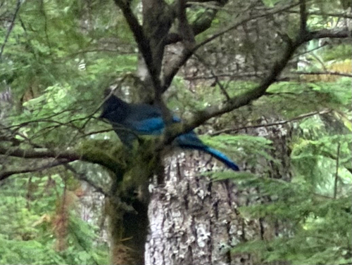
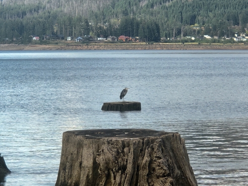
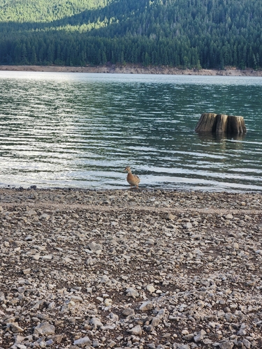
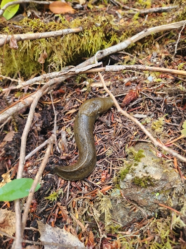
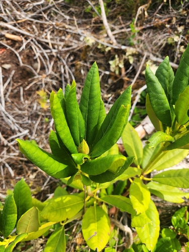
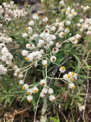
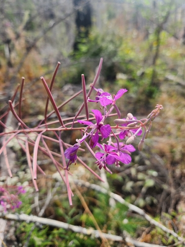
Research-grade observations from iNaturalist (within ~15 mi).
Nearest stream gauge
Events
Gallery
Sources
- • Wikipedia
- • US Census Bureau (ACS 5-year estimates)
- • Open-Meteo (ERA5 reanalysis)
- • NOAA National Weather Service
- • Wikidata
- • USGS Earthquake Catalog (global feed)
- • GBIF (Global Biodiversity Information Facility)
- • iNaturalist
- • CDC PLACES
- • Open-Meteo / sunrise-sunset.org
- • Wikipedia Pageviews API
- • NASA EONET