Browse / United States / Oregon / John Day
John Day
Oregoncity

John Day
Total population
1,609
Median home value
$212,100
Bachelor's+
Median income
$57,891
Founded
1901
Demographic figures from US Census Bureau · ACS 5-year estimates. Overview below cites Wikipedia and may reference a different year.
City facts
Facts from Wikidata (CC0).
Overview
John Day is a city located approximately 2 miles (3.2 km) north of Canyon City in Grant County, Oregon, United States, at the intersection of U.S. Routes 26 and 395. The city was named for the nearby John Day River, which, along with Dayville, had been named for a Virginia member of the 1811 Astor Expedition, John Day. The city was incorporated in 1901.
Read more on WikipediaHistory & geography
History
The first homestead staked in what is now Grant County (then part of Wasco County), in 1862 by B. C. Trowbridge, was within the limits of the present city of John Day. The Eastern Oregon community was not as quick to grow as neighboring Canyon City, which was the county seat and center of the bustling mining industry in the area. Incrementally, local merchants and residents began relocating to John Day—primarily each time after severe fires in Canyon City: the Grant County Courthouse burned in 1870, Chinatown burned in 1885, and fires in 1898 and 1937 each devastated Canyon City's downtown. The first post office at "John Day City" was established in 1865, but was discontinued in 1871. It was reestablished in 1879 with the name John Day.
Geography
According to the United States Census Bureau, the city has a total area of , all land. John Day is surrounded by the Strawberry Mountains to the south and the Blue Mountains to the east. The bedrock geology of the John Day area is a complex assemblage of Permian to Triassic age metamorphic and igneous rocks which were added to the western North American continental margin by tectonic activity in the Triassic and Jurassic periods. Cenozoic age volcanic rocks related to the long-lived Columbia River Basalt emplacement were deposited above these bedrock units. The area around John Day contains some of the most important paleontological resources known. From about the time the dinosaurs disappeared right up until the Pleistocene, the region was subjected to significant volcanism and other processes that preserved many fossils. Because the matrix in which the fossils are entombed is datable, the fossils themselves can be dated with excellent precision. This gives paleontologists the ability to study how species changed over time and also how the relationship between ecosystems and climate changed. Despite its dry climate and inland location, John Day has as an oceanic climate (Cfb) according to the Köppen climate classification system. However, it nearly qualifies as a steppe climate (Köppen BSk) due to its relative aridity, and as a humid continental climate (Köppen Dfb) due to its cold winter temperatures.
Excerpted from the corresponding Wikipedia article (CC BY-SA).
Demographics & economy
Race & ethnicity
Source: US Census Bureau — American Community Survey, 5-year estimates.
Geography
Coordinates & boundaries from the US Census TIGER/Line shapefiles.
Climate
Current forecast
Forecast for John Day, OR from NOAA NWS API.
Air quality
Industrial & pollution facilities
Natural hazard risk
Health (adults)
Age-adjusted prevalence estimates from CDC PLACES (latest release).
Walkability
Amenities nearby
Wildlife & biodiversity
Schools
Earthquake history
Photos
Sights & places nearby
Notable people from here


People born within ~10 km, from Wikidata (CC0). Click any name for their Wikipedia article.
Nearby places in Oregon
Geography & sun
Nearby airports
Public attention
Books about this place
Recent natural events nearby
- Prescribed Fire Wolf A RX, Grant, OregonWildfires · 2026-09-24 · 24 mi
- Wildfire COTTONWOOD, Grant, OregonWildfires · 2026-08-06 · 25 mi
- Wildfire McCulley, Baker, OregonWildfires · 2026-08-22 · 44 mi
- Wildfire Ruggs, Morrow, OregonWildfires · 2026-08-31 · 68 mi
- Wildfire Hatch Grade, Walla Walla, WashingtonWildfires · 2026-09-29 · 112 mi
- Wildfire 0658 ROUND BUTTE, Jefferson, OregonWildfires · 2026-08-01 · 112 mi
- Prescribed Fire Starvation 11A Rx, Wallowa, OregonWildfires · 2026-09-30 · 122 mi
- Wildfire Eggo, Wallowa, OregonWildfires · 2026-08-01 · 126 mi
Wildfires, storms and other events from NASA EONET (last 12 months, within 250 mi).
Ground air-quality sensors
Recently spotted species
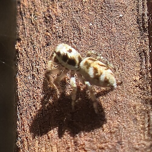
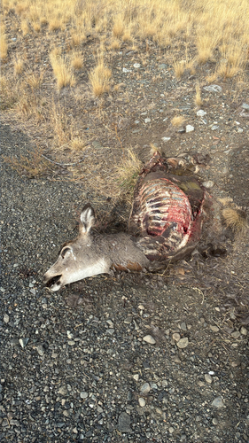
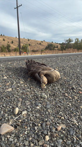
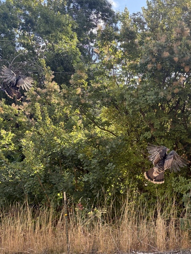
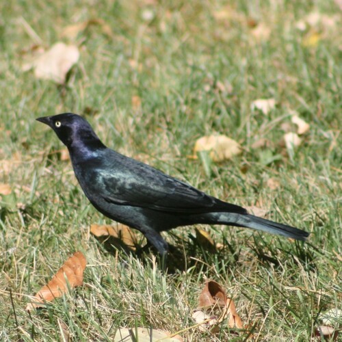
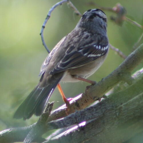
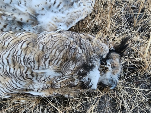
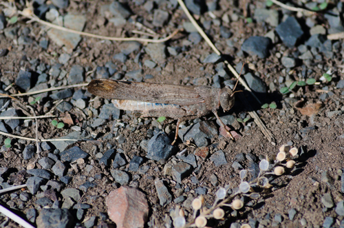
Research-grade observations from iNaturalist (within ~15 mi).
Nearest stream gauge
Events
Gallery
Sources
- • Wikipedia
- • US Census Bureau (ACS 5-year estimates)
- • NOAA National Weather Service
- • Wikidata
- • iNaturalist
- • CDC PLACES
- • NASA EONET