Browse / United States / Oregon / Lakeview
Lakeview
Oregontown

Lakeview
Total population
3,270
Median home value
$202,500
Bachelor's+
Median income
$70,900
Founded
1869
Demographic figures from US Census Bureau · ACS 5-year estimates. Overview below cites Wikipedia and may reference a different year.
City facts
Facts from Wikidata (CC0).
Overview
Lakeview is a city in Lake County, Oregon, United States. The population was 2,418 at the 2020 census. It is the county seat of Lake County. The city bills itself as the "Tallest Town in Oregon" because of its elevation, 4,757 feet (1,450 m) above sea level. Lakeview is situated in the Goose Lake Valley at the foot of the Warner Mountains and at the edge of Oregon's high desert country. Its economy is based on agriculture, lumber production, and government activities. In addition, tourism is an increasingly important part of the city's economy. Oregon's Outback Scenic Byway passes through Lakeview.
Read more on WikipediaHistory & geography
History
Native Americans occupied the area around Lakeview as early as 14,000 years ago, as evidenced by artifacts found in the Paisley Caves north of Lakeview. When European explorers came through the Goose Lake Valley, Shoshone-speaking people were living in the area. In 1827, Peter Skene Ogden led a brigade of Hudson's Bay Company trappers through the Goose Lake Valley. He was followed in 1832 by John Work and his trappers. Work noted the hot springs north of Goose Lake (now called Hunter's Hot Springs) in his journal. The hot springs are approximately north of the Lakeview town site. In 1867 and 1868, General George Crook led United States Army units and Indian scouts from the Wasco and Warm Springs tribes in a successful campaign against Northern Paiute bands in Eastern Oregon and Northern California. This was part of the conflict known as the Snake War. Crook used Camp Warner as his supply depot and administrative headquarters. The camp was abandoned in 1874. Camp Warner was northeast of the site now known as Lakeview. In 1869, M. W. Bullard settled along Bullard Creek at the mouth of Bullard Canyon at the northern end of the Goose Lake Valley. This became the town of Lakeview. William Heryford brought cattle into the Goose Lake Valley in 1872. In 1873, the area's first post office was opened at the Tenbrook Ranch, south of present-day Lakeview. Lake County was separated from Jackson County and Wasco County in 1874. The temporary county seat was in Linkville (now Klamath Falls, Oregon). In June 1876, an election was held to select a permanent county seat. Prior to the election, W. M. Bullard offered to donate along Bullard Creek in the Goose Lake Valley as a site for the county courthouse. In the election, "Bullard Creek" received 120 votes while…
Geography
Lakeview is in the Goose Lake Valley at the foot of the Warner Mountains to the east. It is on the edge of the high desert country of southeastern Oregon. At an elevation of , Lakeview is one of the highest cities in Oregon. According to the United States Census Bureau, the city has a total area of , of which is land and is water. Lakeview has a typical semiarid continental Mediterranean climate (Köppen Dsb) for the leeward side of the Cascades. Summers are hotter than western Oregon during the daytime, but nights are always cool and rare frosts can occur during July. Little rainfall occurs during the summers; winters are cold and frequently severe because of the latitude and elevation, although snowfall can sometimes be heavy – the maximum monthly snow cover being during January 1993 and on the thirteenth day of that month. Typically, temperatures fall below freezing () half the year, and fall below on only five days a year. Extreme historical temperatures range from on December 8, 2013 to on August 7, 1905. Annual precipitation averaged between 1971 and 2000. The wettest calendar year since record-keeping started in 1888 is 1998 with ; the driest was 1924 with – less than the total for the wettest month of December 1964 of fall, including the melt from of snow. The most snowfall in a calendar month was in February 1894, and the most in a season at least (some days unavailable) between July 1893 and June 1894, in contrast to which as little as fell in the drought season between July 1923 and June 1924.
Excerpted from the corresponding Wikipedia article (CC BY-SA).
Demographics & economy
Race & ethnicity
Source: US Census Bureau — American Community Survey, 5-year estimates.
Geography
Coordinates & boundaries from the US Census TIGER/Line shapefiles.
Climate
10-year averages from ERA5 reanalysis (Open-Meteo).
Current forecast
Forecast for Lakeview, OR from NOAA NWS API.
Air quality
Industrial & pollution facilities
Natural hazard risk
Health (adults)
Age-adjusted prevalence estimates from CDC PLACES (latest release).
Walkability
Amenities nearby
Wildlife & biodiversity
Most-observed species
- American RobinTurdus migratorius Linnaeus, 1766 · Aves260
- Dark-eyed JuncoJunco hyemalis (Linnaeus, 1758) · Aves183
- Mountain ChickadeePoecile gambeli (Ridgway, 1886) · Aves182
- Northern FlickerColaptes auratus (Linnaeus, 1758) · Aves173
- Red-winged BlackbirdAgelaius phoeniceus (Linnaeus, 1766) · Aves171
- Canada Goose (canadensis Group)Branta canadensis (Linnaeus, 1758) · Aves169
- Red-tailed HawkButeo jamaicensis (Gmelin, 1788) · Aves147
- European StarlingSturnus vulgaris Linnaeus, 1758 · Aves147
Citizen-science & research observations from the Global Biodiversity Information Facility (GBIF).
Schools
Largest nearby schools
- Fremont/Hay Elementary SchoolElementary · Lakeview · 349 students · 14.5:1 ratio
- Lakeview Senior High SchoolHigh · Lakeview · 265 students · 13.3:1 ratio
- Daly Middle SchoolMiddle · Lakeview · 109 students · 27.3:1 ratio
- Union Elementary SchoolElementary · Lakeview · 48 students · 24:1 ratio
Public K–12 schools within ~10 mi from Urban Institute Education Data Portal (NCES Common Core of Data, 2022).
Earthquake history
Most recent
- M 2.69 — 2026-05-0610 km E of Bonanza, Oregon
- M 3.25 — 2026-03-1036 km E of Bonanza, Oregon
- M 2.69 — 2026-03-0735 km E of Bonanza, Oregon
- M 2.66 — 2025-12-2651 km E of Fort Bidwell, California
- M 2.91 — 2025-11-2947 km E of Fort Bidwell, California
- M 2.83 — 2025-11-069 km WNW of Lakeview, Oregon
Events from the USGS Earthquake Catalog (global) (FDSN Event Web Service).
Photos
Sights & places nearby
Notable people from here


People born within ~10 km, from Wikidata (CC0). Click any name for their Wikipedia article.
Nearby places in Oregon
Geography & sun
Elevation, sunrise/sunset and daylight from Open-Meteo. Solar climatology from NASA POWER.
Nearby airports
Public attention
Pageview totals from the Wikimedia Pageviews API.
Books about Lakeview

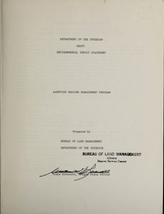
Search results from Open Library.
Recent natural events nearby
- Wildfire Picture Rock, Lake, OregonWildfires · 2026-08-16 · 60 mi
- Wildfire Wrights Spring, Klamath, OregonWildfires · 2026-08-05 · 73 mi
- Emergency Stabilization BAER McConnell, Humboldt, NevadaWildfires · 2026-09-03 · 142 mi
- Wildfire McConnell, Humboldt, NevadaWildfires · 2026-08-25 · 142 mi
- Wildfire Coleman Creek, Harney, OregonWildfires · 2026-07-25 · 142 mi
- Wildfire Fielder Mtn, Jackson, OregonWildfires · 2026-08-13 · 147 mi
- Wildfire MUSTANG, Malheur, OregonWildfires · 2026-08-25 · 152 mi
- Wildfire Calico, Humboldt, NevadaWildfires · 2026-08-26 · 155 mi
Wildfires, storms and other events from NASA EONET (last 12 months, within 250 mi).
Ground air-quality sensors
Recently spotted species
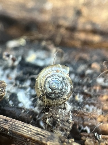
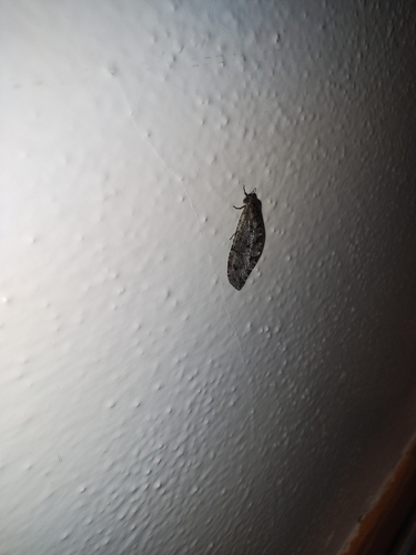
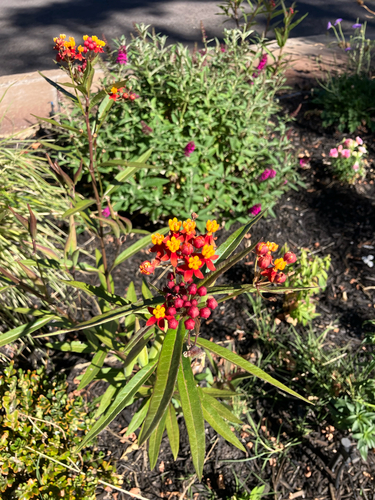
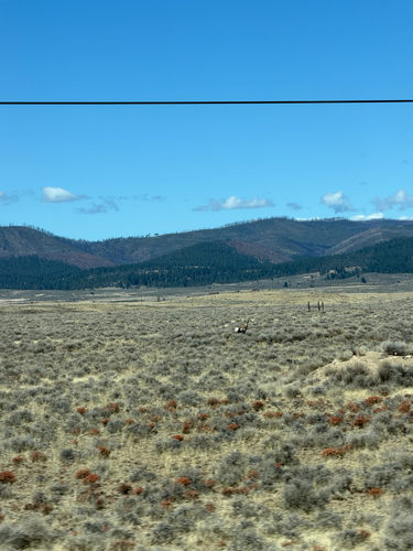
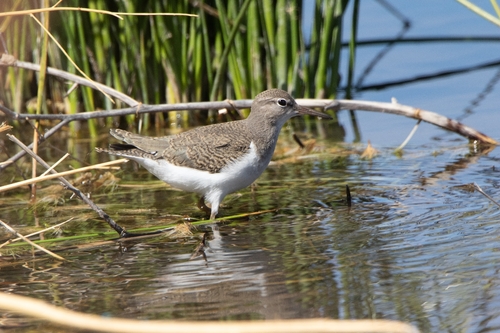
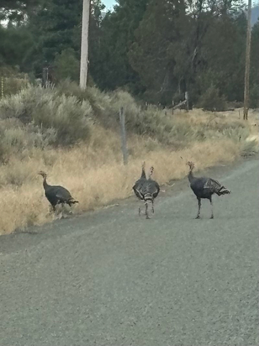
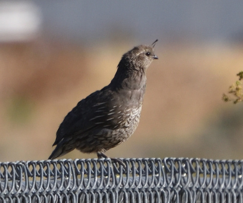
Research-grade observations from iNaturalist (within ~15 mi).
Nearest stream gauge
Events
Gallery
Sources
- • Wikipedia
- • US Census Bureau (ACS 5-year estimates)
- • Open-Meteo (ERA5 reanalysis)
- • NOAA National Weather Service
- • Wikidata
- • USGS Earthquake Catalog (global feed)
- • NCES via Urban Institute Education Data Portal
- • GBIF (Global Biodiversity Information Facility)
- • iNaturalist
- • CDC PLACES
- • Open-Meteo / sunrise-sunset.org
- • Wikipedia Pageviews API
- • Open Library
- • NASA EONET