Browse / United States / Oregon / Peoria
Peoria
OregonCDP
Total population
130
Median home value
$0
Bachelor's+
Median income
$141,368
Demographic figures from US Census Bureau · ACS 5-year estimates. Overview below cites Wikipedia and may reference a different year.
City facts
Overview
Set in Oregon, United States, Peoria is recorded in open geodata as a small census-designated community. Recent open-data figures place its population at about 130. Peoria maps to 44.451°, -123.204° — squarely within the temperate belt. Based on its temperate position, residents likely encounter four distinct seasons with warm summers and cold winters. That works out to roughly 108 residents per square kilometre — a relatively low population density. Solar-resource estimates put the area at about 1,415 kWh/m² of solar irradiance per year with sunshine for roughly 55% of daylight hours. It covers a compact 1.2 km² of land area. Further detail — demographics, climate, nearby amenities and natural-hazard data — is compiled below from public open-data sources.
Summary composed automatically from structured open data on this page. See our Terms for details.
History & geography
Demographics & economy
Race & ethnicity
Source: US Census Bureau — American Community Survey, 5-year estimates.
Geography
Coordinates & boundaries from the US Census TIGER/Line shapefiles.
Climate
Current forecast
Forecast for Peoria, OR from NOAA NWS API.
Air quality
Industrial & pollution facilities
Natural hazard risk
Health (adults)
Walkability
Amenities nearby
Wildlife & biodiversity
Most-observed species
- American RobinTurdus migratorius Linnaeus, 1766 · Aves37,447
- Spotted TowheePipilo maculatus Swainson, 1827 · Aves35,309
- Black-capped ChickadeePoecile atricapillus (Linnaeus, 1766) · Aves33,117
- California/Woodhouse's Scrub-JayAphelocoma californica (Vigors, 1839) · Aves32,338
- Song SparrowMelospiza melodia (A.Wilson, 1810) · Aves30,677
- Dark-eyed JuncoJunco hyemalis (Linnaeus, 1758) · Aves30,094
- European StarlingSturnus vulgaris Linnaeus, 1758 · Aves26,044
- American CrowCorvus brachyrhynchos C.L.Brehm, 1822 · Aves25,263
Citizen-science & research observations from the Global Biodiversity Information Facility (GBIF).
Schools
Earthquake history
Most recent
- M 2.61 — 2026-07-103 km SE of Rose Lodge, Oregon
- M 2.65 — 2026-02-0820 km W of Newport, Oregon
- M 3.18 — 2025-11-235 km SE of Amity, Oregon
- M 2.68 — 2024-12-2927 km WNW of Yachats, Oregon
- M 2.66 — 2024-08-3014 km ESE of Molalla, Oregon
- M 4.39 — 2022-10-0716 km ESE of Lacomb, Oregon
Events from the USGS Earthquake Catalog (global) (FDSN Event Web Service).
Photos
Sights & places nearby
Notable people from here
People born within ~10 km, from Wikidata (CC0). Click any name for their Wikipedia article.
Nearby places in Oregon
Geography & sun
Elevation, sunrise/sunset and daylight from Open-Meteo. Solar climatology from NASA POWER.
Nearby airports
Public attention
Pageview totals from the Wikimedia Pageviews API.
Books about Peoria

Search results from Open Library.
Recent natural events nearby
- Wildfire Austin Non-Stat, Clackamas, OregonWildfires · 2026-08-12 · 73 mi
- Wildfire AUSTIN, Clackamas, OregonWildfires · 2026-08-09 · 73 mi
- Wildfire Beachcomb, Jefferson, OregonWildfires · 2026-07-23 · 90 mi
- Wildfire Bench, Jefferson, OregonWildfires · 2026-07-23 · 92 mi
- Wildfire 0658 ROUND BUTTE, Jefferson, OregonWildfires · 2026-08-01 · 98 mi
- Wildfire GRASSHOPPER, Wasco, OregonWildfires · 2026-07-23 · 100 mi
- Wildfire HIGH LAVA, Skamania, WashingtonWildfires · 2026-07-23 · 112 mi
- Wildfire 8 MILE, Wasco, OregonWildfires · 2026-07-24 · 119 mi
Wildfires, storms and other events from NASA EONET (last 12 months, within 250 mi).
Ground air-quality sensors
Recently spotted species
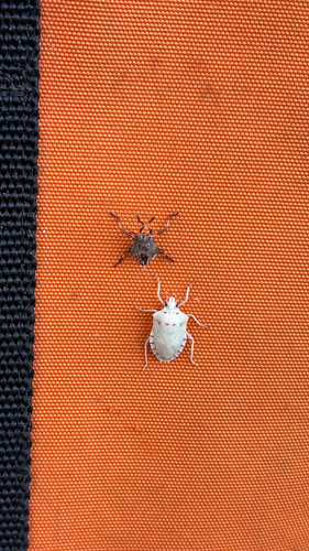
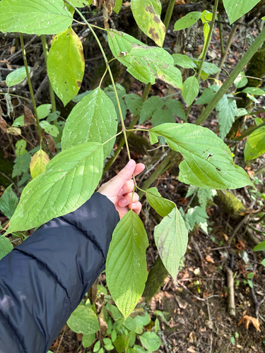
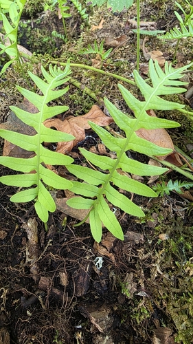
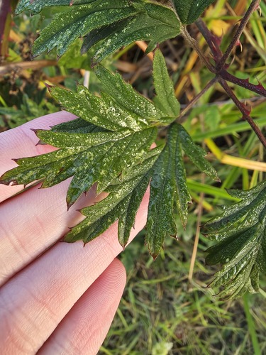
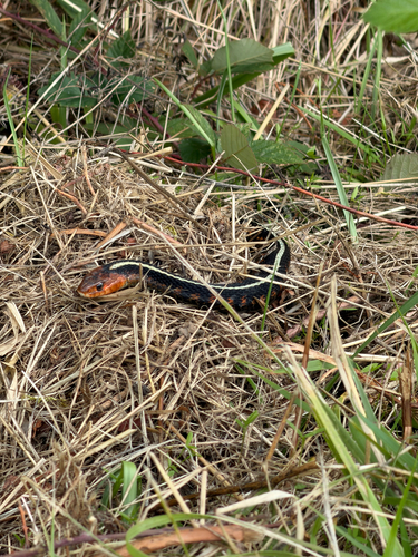
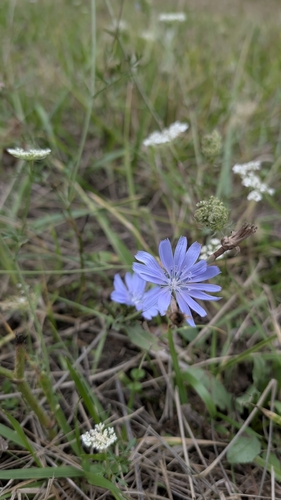
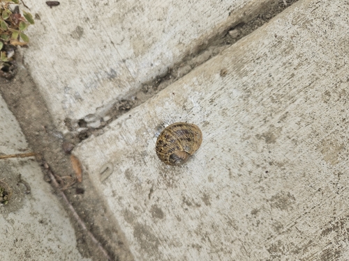
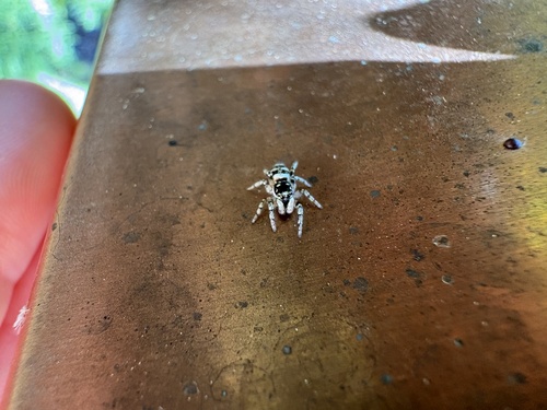
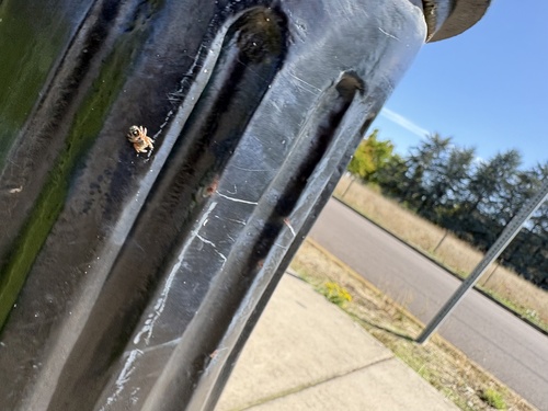
Research-grade observations from iNaturalist (within ~15 mi).
Nearest stream gauge
Events
Gallery
Sources
- • US Census Bureau (ACS 5-year estimates)
- • NOAA National Weather Service
- • Wikidata
- • USGS Earthquake Catalog (global feed)
- • GBIF (Global Biodiversity Information Facility)
- • iNaturalist
- • Open-Meteo / sunrise-sunset.org
- • Wikipedia Pageviews API
- • Open Library
- • NASA EONET