Browse / United States / Oregon / Portland
Portland
Oregoncity

Portland
Total population
636,958
Median home value
$588,200
Bachelor's+
Median income
$91,478
Air quality index
Demographic figures from US Census Bureau · ACS 5-year estimates. Overview below cites Wikipedia and may reference a different year.
- Heat Advisory · ModerateHeat Advisory issued June 20 at 11:25AM PDT until June 23 at 11:00PM PDT by NWS Portland OR
Source: NOAA National Weather Service.
City facts
Facts from Wikidata (CC0).
Overview
Portland is the most populous city in the U.S. state of Oregon. Located in the Pacific Northwest at the confluence of the Willamette and Columbia rivers, it is the 28th-most populous city in the United States, sixth-most populous on the West Coast, and fourth-most populous in the Pacific Northwest, with a population of 652,503 at the 2020 census. The Portland metropolitan area, with over 2.54 million residents, is the 26th-largest metropolitan area in the nation. Almost half of Oregon's population resides within the Portland metro area. It is the county seat of Multnomah County, the most populous in the state.
Read more on WikipediaHistory & geography
History
During the prehistoric period, the land that would become Portland was flooded after the collapse of glacial dams from Lake Missoula, in what would later become Montana. These massive floods occurred during the last ice age and filled the Willamette Valley with of water. Before American settlers began arriving in the 1800s, the land was inhabited for many centuries by two bands of indigenous Chinook peoplethe Multnomah and the Clackamas. The Chinook people occupying the land were first documented in 1805 by Meriwether Lewis and William Clark. Large numbers of pioneer settlers began arriving in the Willamette Valley in the 1840s via the Oregon Trail with many arriving in nearby Oregon City. A new settlement then emerged ten miles from the mouth of the Willamette River, roughly halfway between Oregon City and Hudson's Bay Company's Fort Vancouver. This community was initially referred to as "Stumptown" and "The Clearing" because of the many trees cut down to allow for its growth. In 1843, William Overton saw potential in the new settlement but lacked the funds to file an official land claim. For 25 cents, Overton agreed to share half of the site with Asa Lovejoy of Boston. In 1844, Overton sold his remaining half of the claim to Francis W. Pettygrove of Portland, Maine. Both Pettygrove and Lovejoy wished to rename "The Clearing" after their respective hometowns. This controversy was settled with a coin toss that Pettygrove won in a series of two out of three tosses, thereby providing Portland with its namesake. The coin used for this decision, now known as the Portland Penny, is on display in the headquarters of the Oregon Historical Society. At the time of its incorporation on February 8, 1851, Portland had over 800 inhabitants, a steam sawmill, a log cabin hotel,…
Geography
Portland lies on top of a dormant volcanic field known as the Boring Lava Field, named after the nearby bedroom community of Boring. The Boring Lava Field has at least 32 cinder cones such as Mount Tabor, and its center lies in southeast Portland. The rocks of the Portland area range in age from late Eocene to more recent eras. Multiple shallow, active faults traverse the Portland metropolitan area. Among them are the Portland Hills Fault on the city's west side, and the East Bank Fault on the east side. According to a 2017 survey, several of these faults were characterized as "probably more of a hazard" than the Cascadia subduction zone due to their proximities to population centers, with the potential of producing magnitude 7 earthquakes. Per a 2014 report, over 7,000 locations within the Portland area are at high risk for landslides and soil liquefaction in the event of a major earthquake, including much of the city's west side (such as Washington Park) and sections of Clackamas County. Portland is east of the Pacific Ocean at the northern end of Oregon's most populated region, the Willamette Valley. Downtown Portland straddles the banks of the Willamette River, which flows north through the city center and separates the city's east and west neighborhoods. Less than from downtown, the Willamette River flows into the Columbia River, the fourth-largest river in the United States, which divides Oregon from Washington state. Portland is approximately upriver from the Pacific Ocean on the Columbia. Though much of downtown Portland is relatively flat, the foothills of the Tualatin Mountains, more commonly referred to locally as the "West Hills", pierce through the northwest and southwest reaches of the city. Council Crest Park at is often quoted as the highest…
Excerpted from the corresponding Wikipedia article (CC BY-SA).
Demographics & economy
Race & ethnicity
Source: US Census Bureau — American Community Survey, 5-year estimates.
Geography
Coordinates & boundaries from the US Census TIGER/Line shapefiles.
Climate
10-year averages from ERA5 reanalysis (Open-Meteo).
Current forecast
Forecast for Portland, OR from NOAA NWS API.
Air quality
Current readings from Open-Meteo Air Quality API (Copernicus CAMS European reanalysis).
Industrial & pollution facilities
Natural hazard risk
Health (adults)
Age-adjusted prevalence estimates from CDC PLACES (latest release).
Walkability
Amenities nearby
Wildlife & biodiversity
Most-observed species
- American CrowCorvus brachyrhynchos C.L.Brehm, 1822 · Aves116,810
- Song SparrowMelospiza melodia (A.Wilson, 1810) · Aves109,549
- Dark-eyed JuncoJunco hyemalis (Linnaeus, 1758) · Aves87,307
- Black-capped ChickadeePoecile atricapillus (Linnaeus, 1766) · Aves86,131
- American RobinTurdus migratorius Linnaeus, 1766 · Aves78,777
- Anna's HummingbirdCalypte anna (R.Lesson, 1829) · Aves77,986
- House FinchHaemorhous mexicanus (P.L.Statius Müller, 1776) · Aves74,576
- Northern FlickerColaptes auratus (Linnaeus, 1758) · Aves71,860
Citizen-science & research observations from the Global Biodiversity Information Facility (GBIF).
Schools
Largest nearby schools
- David Douglas High SchoolHigh · Portland · 2,698 students · 18.7:1 ratio
- Grant High SchoolHigh · Portland · 2,156 students · 21.3:1 ratio
- Franklin High SchoolHigh · Portland · 1,966 students · 18.7:1 ratio
- Centennial High SchoolHigh · Gresham · 1,756 students · 24.1:1 ratio
- Ida B. Wells-Barnett High SchoolHigh · Portland · 1,556 students · 20.5:1 ratio
- Cleveland High SchoolHigh · Portland · 1,547 students · 19.8:1 ratio
- Lincoln High SchoolHigh · Portland · 1,525 students · 20.3:1 ratio
- Roosevelt High SchoolHigh · Portland · 1,484 students · 16.7:1 ratio
Public K–12 schools within ~10 mi from Urban Institute Education Data Portal (NCES Common Core of Data, 2022).
Earthquake history
Most recent
- M 3.18 — 2025-11-235 km SE of Amity, Oregon
- M 2.66 — 2024-08-3014 km ESE of Molalla, Oregon
- M 3.48 — 2024-07-1220 km S of Morton, Washington
- M 2.5100000000000002 — 2024-03-2627 km S of Morton, Washington
- M 2.99 — 2024-01-0533 km NNE of Amboy, Washington
- M 3.09 — 2023-11-244 km WSW of Deer Island, Oregon
Events from the USGS Earthquake Catalog (global) (FDSN Event Web Service).
Photos
Sights & places nearby
Notable people from here


People born within ~10 km, from Wikidata (CC0). Click any name for their Wikipedia article.
Nearby places in Oregon
- Maywood Park4.4 mi away · pop. 987
- West Haven-Sylvan5.8 mi away
- Milwaukie6.5 mi away · pop. 21,392
- Dunthorpe6.7 mi away
- Metzger8.1 mi away
- Lake Oswego8.9 mi away · pop. 40,381
- Beaverton9.1 mi away · pop. 98,302
- Bethany9.2 mi away · pop. 33,106
- Johnson City9.8 mi away · pop. 499
- Tigard10.2 mi away · pop. 56,011
- Fairview10.3 mi away · pop. 10,735
- Gresham10.4 mi away · pop. 111,500
Geography & sun
Elevation, sunrise/sunset and daylight from Open-Meteo. Solar climatology from NASA POWER.
Nearby airports
Public attention
Pageview totals from the Wikimedia Pageviews API.
Books about Portland
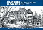
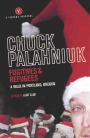


Search results from Open Library.
Recent natural events nearby
- Wildfire Austin Non-Stat, Clackamas, OregonWildfires · 2026-08-12 · 49 mi
- Wildfire AUSTIN, Clackamas, OregonWildfires · 2026-08-09 · 49 mi
- Wildfire 0658 ROUND BUTTE, Jefferson, OregonWildfires · 2026-08-01 · 95 mi
- Wildfire Colwash, Yakima, WashingtonWildfires · 2026-08-22 · 126 mi
- Wildfire Ruggs, Morrow, OregonWildfires · 2026-08-31 · 145 mi
- Wildfire KING, Kittitas, WashingtonWildfires · 2026-08-19 · 149 mi
- Wildfire GOAT, Kittitas, WashingtonWildfires · 2026-08-22 · 153 mi
- Wildfire SECOND STREET, Benton, WashingtonWildfires · 2026-09-25 · 161 mi
Wildfires, storms and other events from NASA EONET (last 12 months, within 250 mi).
Ground air-quality sensors
Recently spotted species
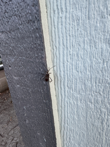
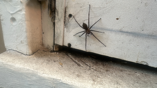
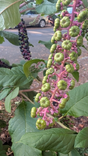
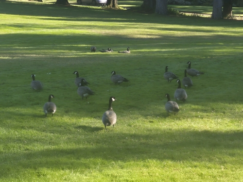
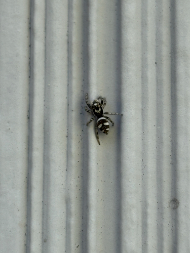
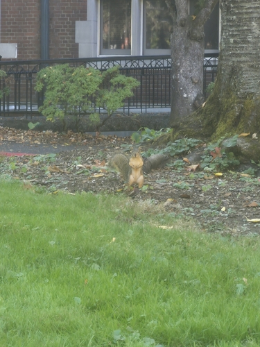
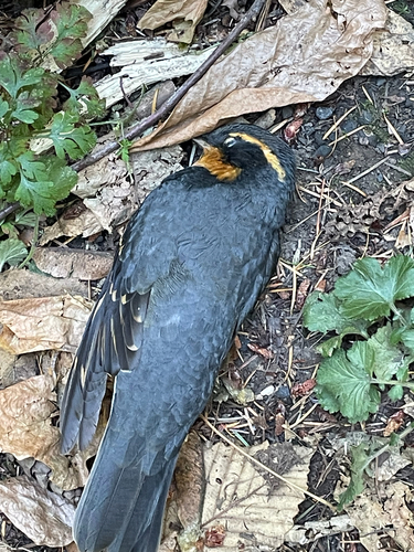
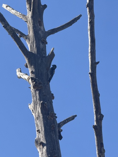
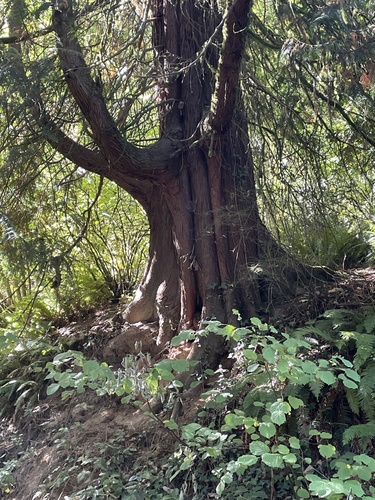
Research-grade observations from iNaturalist (within ~15 mi).
Nearest stream gauge
Live readings from USGS NWIS · measured 2026-06-28 06:35 UTC.
Events
Notable, recurring, and historical events associated with Portland, sourced from Wikidata.
- George Floyd protests in Portland, OregonMay 28, 2020demonstration
2020 civil unrest after the murder of George Floyd
- Aug 17, 2019
- Jun 30, 2018
- Jan 20, 2018
- March for Truth in Portland, OregonJun 3, 2017demonstration
- Jul 1, 2016
- 173rd National Puzzlers' League conventionJul 12, 2012recurring event edition
- Jul 5, 2001
- 156th National Puzzlers' League conventionJul 1, 1995recurring event edition
- Jun 30, 1995
- Jun 29, 1984
- Portland Rose Festivalannual event
annual civic festival held during the month of June in Portland, Oregon
Source: Wikidata (CC0).
Gallery
Geotagged photos within ~6 miles of Portland, from Wikimedia Commons contributors.
 0 mi
0 mi 0 mi
0 mi 0 mi
0 mi 0 mi
0 mi 0 mi
0 mi 0 mi
0 mi 0 mi
0 mi 0 mi
0 mi 0 mi
0 mi 0 mi
0 mi 0.1 mi
 0.1 mi
 0.1 mi
 0.1 mi
 0.1 mi
 0.1 mi
.jpg) 0.1 mi
0.1 mi 0.1 mi
 0.1 mi
 0.1 mi
 0.1 mi
 0.1 mi
 0.1 mi
 0.1 mi
Photos via Wikimedia Commons — see each image page for license & attribution.
Sources
- • Wikipedia
- • US Census Bureau (ACS 5-year estimates)
- • Open-Meteo (ERA5 reanalysis)
- • NOAA National Weather Service
- • Wikimedia Commons
- • Wikidata
- • Open-Meteo Air Quality (CAMS)
- • USGS Earthquake Catalog (global feed)
- • USGS NWIS (water data)
- • NCES via Urban Institute Education Data Portal
- • GBIF (Global Biodiversity Information Facility)
- • iNaturalist
- • CDC PLACES
- • Open-Elevation
- • Open-Meteo / sunrise-sunset.org
- • Wikipedia Pageviews API
- • Open Library
- • NASA EONET