Browse / United States / Oregon / Seaside
Seaside
Oregoncity

Seaside
Total population
7,192
Median home value
$459,500
Bachelor's+
Median income
$47,361
Founded
1899
Demographic figures from US Census Bureau · ACS 5-year estimates. Overview below cites Wikipedia and may reference a different year.
City facts
Facts from Wikidata (CC0).
Overview
Seaside is a city in Clatsop County, Oregon, United States, on the coast of the Pacific Ocean. The name Seaside is derived from Seaside House, a historic summer resort built in the 1870s by railroad magnate Ben Holladay. The city's population was 7,115 at the 2020 census.
Read more on WikipediaHistory & geography
History
Around on January 1, 1806, a group of men from the Lewis and Clark Expedition built a salt-making cairn at the site later developed as Seaside. The city was not incorporated until February 17, 1899, when coastal resort areas were being settled. It is about by car northwest of Portland, Oregon, a major population center. In 1912, Alexandre Gilbert (1843–1932) was elected Mayor of Seaside. Gilbert was a French immigrant, a veteran of the Franco Prussian War (1870–1871). After living in San Francisco, California and Astoria, Oregon, Gilbert moved to Seaside where he had a beach cottage (built in 1885). Gilbert was a real estate developer who donated land to the City of Seaside for its one-and-a-half-mile-long Promenade, or "Prom", along the Pacific beach. In 1892, he added to his beach cottage. Nearly 100 years later, what was known as the Gilbert House was operated commercially as the Gilbert Inn since the mid-1980s. Both it and the "Gilbert Block" office building he built on Broadway still survive. Gilbert died at home in Seaside and is interred in Ocean View Abbey Mausoleum in Warrenton.
Geography
According to the United States Census Bureau, the city has a total area of , of which is land and is water. Seaside lies on the edge of the Pacific Ocean, at the southern end of the Clatsop Plains, about south of where the Columbia River empties into the Pacific. The city is developed on both sides of the Necanicum River, which flows to the ocean at the city's northern edge. Tillamook Head towers over the southern edge of the city. The geography associated with the gradual slope of the broad sandy beaches of Clatsop Spit provide excellent conditions for the formation of beds of millions of Pacific razor clams annually. The razor clams attract thousands of visitors to Seaside Beach each year. Waves attract surfers all year round to the sandy shores. U.S. Route 101 passes through the city. Seaside has an oceanic climate (Köppen Cfb), typical Pacific Northwest climate, bordering very closely on a warm-summer Mediterranean climate (Köppen Csb). It receives rainy winters and mild-to-cool summers. Mean high temperature in the warmest month, August, is roughly . The warmest heat waves, however, occur in September. The hottest day on record was , which occurred on both September 23, 1943 and September 24, 1974. The coldest temperature ever recorded was which occurred on December 8, 1972. Part of Seaside is located in a tsunami inundation zone. Among other preparations, the City of Seaside has embarked on a program in which residents above the zone are asked to volunteer to store within their homes barrels of medical supplies, water purification systems, emergency rations, tarps, and radios, with each barrel having enough supplies to last 20 individuals for at least three days. As of January 2017, there are 119 barrels within volunteer households and a waiting list of…
Excerpted from the corresponding Wikipedia article (CC BY-SA).
Demographics & economy
Race & ethnicity
Source: US Census Bureau — American Community Survey, 5-year estimates.
Geography
Coordinates & boundaries from the US Census TIGER/Line shapefiles.
Climate
Current forecast
Forecast for Seaside, OR from NOAA NWS API.
Air quality
Industrial & pollution facilities
Natural hazard risk
Health (adults)
Age-adjusted prevalence estimates from CDC PLACES (latest release).
Walkability
Amenities nearby
Wildlife & biodiversity
Most-observed species
- American CrowCorvus brachyrhynchos C.L.Brehm, 1822 · Aves9,107
- Western GullLarus occidentalis Audubon, 1839 · Aves8,643
- Song SparrowMelospiza melodia (A.Wilson, 1810) · Aves5,411
- White-crowned SparrowZonotrichia leucophrys (J.R.Forster, 1772) · Aves4,968
- Brown PelicanPelecanus occidentalis Linnaeus, 1766 · Aves4,793
- Common MurreUria aalge (Pontoppidan, 1763) · Aves4,448
- Pelagic CormorantPhalacrocorax pelagicus Pallas, 1811 · Aves4,219
- Barn SwallowHirundo rustica Linnaeus, 1758 · Aves4,200
Citizen-science & research observations from the Global Biodiversity Information Facility (GBIF).
Schools
Earthquake history
Most recent
- M 2.65 — 2025-12-195 km WSW of Pe Ell, Washington
- M 3.09 — 2023-11-244 km WSW of Deer Island, Oregon
- M 2.68 — 2023-07-0211 km W of Deer Island, Oregon
- M 2.84 — 2022-07-246 km SW of Aloha, Oregon
- M 2.54 — 2021-11-2711 km WNW of Beaver, Oregon
- M 2.56 — 2018-09-258 km S of Scappoose, Oregon
Events from the USGS Earthquake Catalog (global) (FDSN Event Web Service).
Photos
Sights & places nearby
Notable people from here

People born within ~10 km, from Wikidata (CC0). Click any name for their Wikipedia article.
Geography & sun
Nearby airports
Public attention
Books about this place
Recent natural events nearby
- Wildfire Austin Non-Stat, Clackamas, OregonWildfires · 2026-08-12 · 116 mi
- Wildfire AUSTIN, Clackamas, OregonWildfires · 2026-08-09 · 117 mi
- Wildfire KING, Kittitas, WashingtonWildfires · 2026-08-19 · 163 mi
- Wildfire GOAT, Kittitas, WashingtonWildfires · 2026-08-22 · 170 mi
- Wildfire Colwash, Yakima, WashingtonWildfires · 2026-08-22 · 179 mi
- Wildfire Ruggs, Morrow, OregonWildfires · 2026-08-31 · 211 mi
- Wildfire SECOND STREET, Benton, WashingtonWildfires · 2026-09-25 · 214 mi
- Wildfire Electric, Whatcom, WashingtonWildfires · 2026-08-22 · 218 mi
Wildfires, storms and other events from NASA EONET (last 12 months, within 250 mi).
Ground air-quality sensors
Recently spotted species
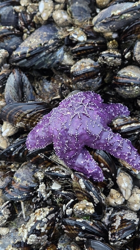
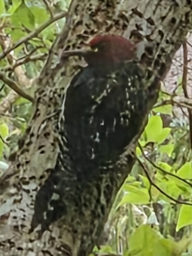
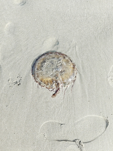
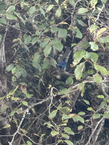
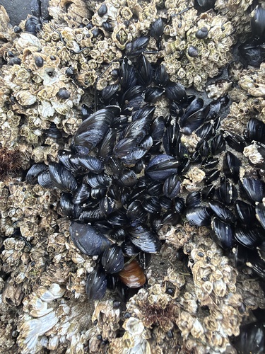
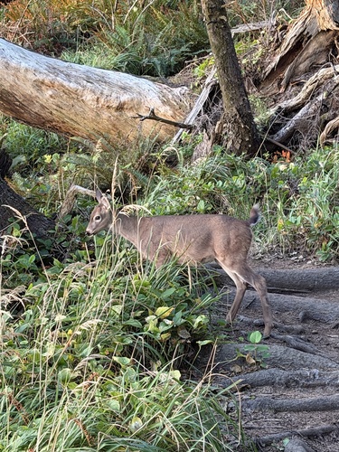
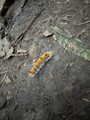
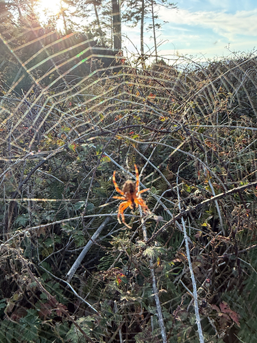
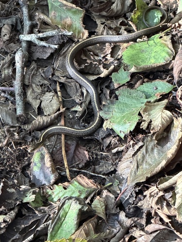
Research-grade observations from iNaturalist (within ~15 mi).
Nearest stream gauge
Live readings from USGS NWIS · measured 2026-10-14 14:10 UTC.
Events
Gallery
Sources
- • Wikipedia
- • US Census Bureau (ACS 5-year estimates)
- • NOAA National Weather Service
- • Wikidata
- • USGS Earthquake Catalog (global feed)
- • USGS NWIS (water data)
- • GBIF (Global Biodiversity Information Facility)
- • iNaturalist
- • CDC PLACES
- • NASA EONET