Browse / United States / Oregon / Tualatin
Tualatin
Oregoncity

Tualatin
Total population
27,763
Median home value
$628,200
Bachelor's+
Median income
$104,043
Demographic figures from US Census Bureau · ACS 5-year estimates. Overview below cites Wikipedia and may reference a different year.
City facts
Overview
Tualatin is a city located primarily in Washington County in the U.S. state of Oregon. A small portion of the city is also located in neighboring Clackamas County. It is a southwestern suburb in the Portland Metropolitan Area that is located south of Tigard. The population was 27,942 at the 2020 census.
Read more on WikipediaHistory & geography
History
The name of the city is taken from the Tualatin River, which flows along most of the city's northern boundary. It comes from a Tualatin-Yamhill word that probably means "lazy" or "sluggish," but may also mean "treeless plain," for the plain near the river, or "forked," for its many tributaries. According to Oregon Geographic Names, a post office with the spelling "Tualitin" was established November 5, 1869, and the spelling changed to "Tualatin" in 1915. In the 1850s, the settlement was first called Galbreath after its founder Samuel Galbreath. In 1853, Galbreath built the first bridge over the Tualatin river, and the town became known as Bridgeport. In the 1880s, John Sweek platted a town around the new railroad depot, and named the town Tualatin. It was incorporated as the City of Tualatin in 1913. In 1962, a fossilized mastodon (Mammut americanum) was excavated in what later became a Fred Meyer parking lot. It is on display in the lobby of Tualatin Public Library. In 1972 fossils were uncovered near Fanno Creek that were determined to be a partial skeleton of a Harlan's ground sloth (Paramylodon harlani).
Geography
According to the United States Census Bureau, the city has a total area of , of which is land and is water.
Excerpted from the corresponding Wikipedia article (CC BY-SA).
Demographics & economy
Race & ethnicity
Source: US Census Bureau — American Community Survey, 5-year estimates.
Geography
Coordinates & boundaries from the US Census TIGER/Line shapefiles.
Climate
Current forecast
Forecast for Tualatin, OR from NOAA NWS API.
Air quality
Industrial & pollution facilities
Natural hazard risk
Health (adults)
Age-adjusted prevalence estimates from CDC PLACES (latest release).
Walkability
Amenities nearby
Wildlife & biodiversity
Schools
Largest nearby schools
- Tigard High SchoolHigh · Tigard · 1,799 students · 18.7:1 ratio
- Mountainside High SchoolHigh · Beaverton · 1,758 students · 22.5:1 ratio
- Tualatin High SchoolHigh · Tualatin · 1,747 students · 17.8:1 ratio
- Sherwood High SchoolHigh · Sherwood · 1,704 students · 24:1 ratio
- Aloha High SchoolHigh · Beaverton · 1,686 students · 17.7:1 ratio
- Southridge High SchoolHigh · Beaverton · 1,495 students · 18.5:1 ratio
- Beaverton High SchoolHigh · Beaverton · 1,483 students · 17:1 ratio
- Sherwood Middle SchoolMiddle · Sherwood · 1,135 students · 20.6:1 ratio
Public K–12 schools within ~10 mi from Urban Institute Education Data Portal (NCES Common Core of Data, 2022).
Earthquake history
Photos
Sights & places nearby
Notable people from here
Geography & sun
Elevation, sunrise/sunset and daylight from Open-Meteo. Solar climatology from NASA POWER.
Nearby airports
Public attention
Pageview totals from the Wikimedia Pageviews API.
Books about Tualatin


Search results from Open Library.
Recent natural events nearby
- Wildfire Austin Non-Stat, Clackamas, OregonWildfires · 2026-08-12 · 47 mi
- Wildfire AUSTIN, Clackamas, OregonWildfires · 2026-08-09 · 47 mi
- Wildfire 0658 ROUND BUTTE, Jefferson, OregonWildfires · 2026-08-01 · 93 mi
- Wildfire Colwash, Yakima, WashingtonWildfires · 2026-08-22 · 136 mi
- Wildfire Ruggs, Morrow, OregonWildfires · 2026-08-31 · 150 mi
- Wildfire KING, Kittitas, WashingtonWildfires · 2026-08-19 · 162 mi
- Wildfire GOAT, Kittitas, WashingtonWildfires · 2026-08-22 · 166 mi
- Wildfire SECOND STREET, Benton, WashingtonWildfires · 2026-09-25 · 170 mi
Wildfires, storms and other events from NASA EONET (last 12 months, within 250 mi).
Ground air-quality sensors
Recently spotted species
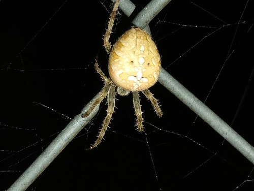
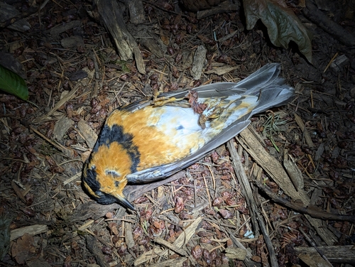
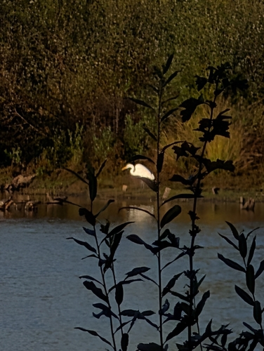
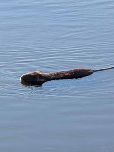
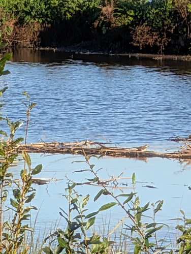
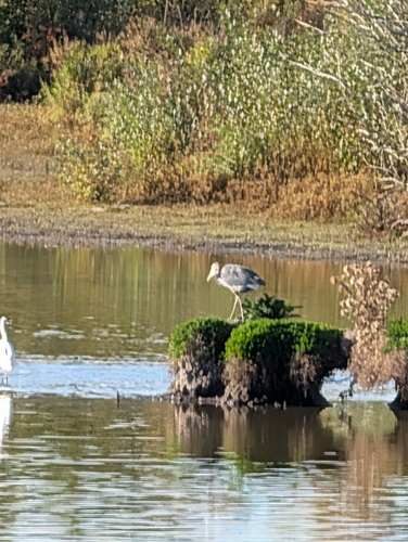
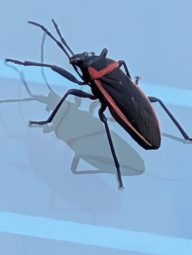
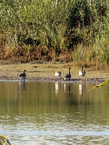
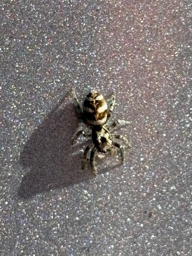
Research-grade observations from iNaturalist (within ~15 mi).
Nearest stream gauge
Events
Gallery
Sources
- • Wikipedia
- • US Census Bureau (ACS 5-year estimates)
- • NOAA National Weather Service
- • NCES via Urban Institute Education Data Portal
- • iNaturalist
- • CDC PLACES
- • Open-Meteo / sunrise-sunset.org
- • Wikipedia Pageviews API
- • Open Library
- • NASA EONET