Browse / United States / Oregon / Weston
Weston
Oregoncity

Weston
Total population
443
Median home value
$135,900
Bachelor's+
Median income
$45,000
Founded
1878
Demographic figures from US Census Bureau · ACS 5-year estimates. Overview below cites Wikipedia and may reference a different year.
City facts
Facts from Wikidata (CC0).
Overview
Weston is a city in Umatilla County, Oregon, United States. It was originally a post office called Mitchell's Station, established in February 1867. In September 1869, T.T. Lieuallen renamed the post office after his hometown, Weston, Missouri. The population was 706 at the 2020 census. It is part of the Pendleton–Hermiston Micropolitan Statistical Area.
Read more on WikipediaHistory & geography
History
Weston was incorporated by the Oregon Legislative Assembly on October 19, 1878. Weston is best known for its connection with novelist Nard Jones (1904–1972), who lived in the city with his parents between 1919 and 1927, and whose first novel Oregon Detour was set in an Oregon town of 600 inhabitants called "Creston". When his novel, written according to the tenets of the New Realism literary movement (established years before by Sherwood Anderson, Sinclair Lewis and others) was published in 1930, many of the residents were convinced that his characters were based on local inhabitants, and considered the work a slander against the town. While the legend that Jones was sued and ran out of town for his book is not true, members of the town made an effort to locally suppress access to the book: copies of the novel were stolen from the local library; after the novel became the subject for a high school student's book report, his English teacher removed the book from both the reading list and the high school library. According to George Venn, local literary historian, even in the 1980s, "trying to figure out or trying to remember who the 'real people' in the novel is still a local pastime."
Geography
According to the United States Census Bureau, the city has a total area of , all of it land. Weston is located at the foot of the Blue Mountains, on Pine Creek. This region experiences warm (but not hot) and dry summers, with no average monthly temperatures above . According to the Köppen Climate Classification system, Weston has a warm-summer Mediterranean climate, abbreviated "Csb" on climate maps.
Excerpted from the corresponding Wikipedia article (CC BY-SA).
Demographics & economy
Race & ethnicity
Source: US Census Bureau — American Community Survey, 5-year estimates.
Geography
Coordinates & boundaries from the US Census TIGER/Line shapefiles.
Climate
Current forecast
Forecast for Weston, OR from NOAA NWS API.
Air quality
Industrial & pollution facilities
Natural hazard risk
Health (adults)
Age-adjusted prevalence estimates from CDC PLACES (latest release).
Walkability
Amenities nearby
Wildlife & biodiversity
Most-observed species
- Red-tailed HawkButeo jamaicensis (Gmelin, 1788) · Aves463
- American KestrelFalco sparverius Linnaeus, 1758 · Aves434
- American RobinTurdus migratorius Linnaeus, 1766 · Aves404
- Black-billed MagpiePica hudsonia (Sabine, 1823) · Aves387
- Song SparrowMelospiza melodia (A.Wilson, 1810) · Aves332
- Bull PinePinus ponderosa Douglas ex C.Lawson · Pinopsida332
- European StarlingSturnus vulgaris Linnaeus, 1758 · Aves329
- Northern FlickerColaptes auratus (Linnaeus, 1758) · Aves272
Citizen-science & research observations from the Global Biodiversity Information Facility (GBIF).
Schools
Largest nearby schools
- McLoughlin High SchoolHigh · Milton-Freewater · 491 students · 17.5:1 ratio
- Gib Olinger Elementary SchoolElementary · Milton-Freewater · 478 students · 13.7:1 ratio
- Central Middle SchoolMiddle · Milton-Freewater · 386 students · 16.8:1 ratio
- Weston-McEwen High SchoolHigh · Athena · 215 students · 13.4:1 ratio
- Weston Middle SchoolMiddle · Weston · 188 students · 13.4:1 ratio
- Athena Elementary SchoolElementary · Athena · 139 students · 12.6:1 ratio
Public K–12 schools within ~10 mi from Urban Institute Education Data Portal (NCES Common Core of Data, 2022).
Earthquake history
Most recent
- M 2.8000000000000003 — 2026-02-025 km ESE of Benton City, Washington
- M 2.84 — 2024-04-204 km S of Richland, Washington
- M 2.73 — 2023-05-116 km NNW of Summerville, Oregon
- M 2.67 — 2021-03-2312 km WSW of Lostine, Oregon
- M 2.59 — 2017-11-1513 km SW of Wallowa, Oregon
- M 2.85 — 2017-02-153 km WSW of Adams, Oregon
Events from the USGS Earthquake Catalog (global) (FDSN Event Web Service).
Photos
Sights & places nearby
Notable people from here
People born within ~10 km, from Wikidata (CC0). Click any name for their Wikipedia article.
Nearby places in Oregon
Geography & sun
Elevation, sunrise/sunset and daylight from Open-Meteo. Solar climatology from NASA POWER.
Nearby airports
Public attention
Pageview totals from the Wikimedia Pageviews API.
Books about Weston




Search results from Open Library.
Recent natural events nearby
- Wildfire Locust Grove, Benton, WashingtonWildfires · 2026-07-24 · 41 mi
- Wildfire LITTLE GOOSE, Columbia, WashingtonWildfires · 2026-08-07 · 52 mi
- Wildfire NUNAMAKER ROAD, Franklin, WashingtonWildfires · 2026-08-08 · 54 mi
- Wildfire Eggo, Wallowa, OregonWildfires · 2026-08-01 · 65 mi
- Wildfire McCulley, Baker, OregonWildfires · 2026-08-22 · 69 mi
- Wildfire ALPOWA, Asotin, WashingtonWildfires · 2026-08-11 · 70 mi
- Wildfire Ruggs, Morrow, OregonWildfires · 2026-08-31 · 72 mi
- Wildfire Colwash, Yakima, WashingtonWildfires · 2026-08-22 · 89 mi
Wildfires, storms and other events from NASA EONET (last 12 months, within 250 mi).
Ground air-quality sensors
Recently spotted species
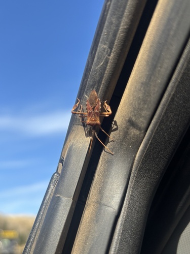
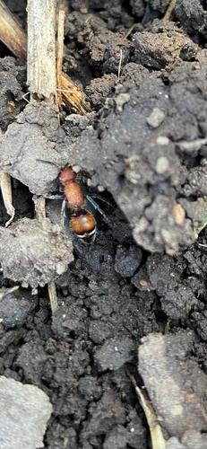
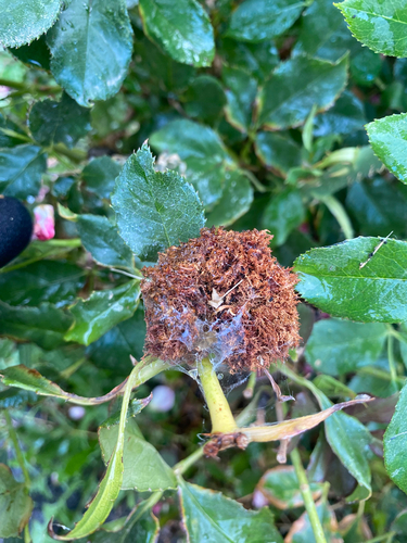
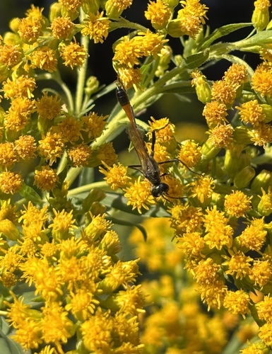
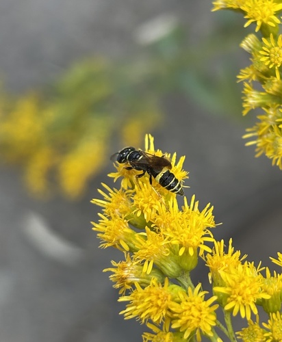
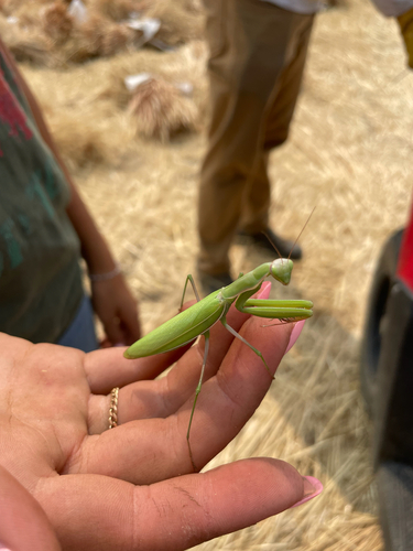
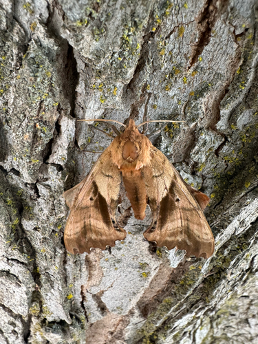
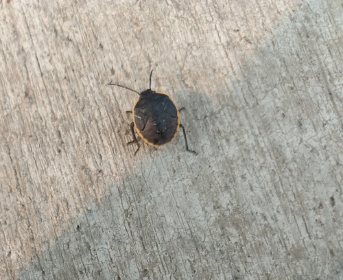
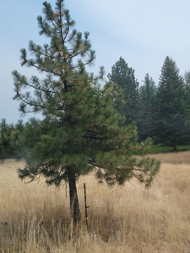
Research-grade observations from iNaturalist (within ~15 mi).
Nearest stream gauge
Live readings from USGS NWIS · measured 2026-09-17 05:15 UTC.
Events
Gallery
Sources
- • Wikipedia
- • US Census Bureau (ACS 5-year estimates)
- • NOAA National Weather Service
- • Wikidata
- • USGS Earthquake Catalog (global feed)
- • USGS NWIS (water data)
- • NCES via Urban Institute Education Data Portal
- • GBIF (Global Biodiversity Information Facility)
- • iNaturalist
- • CDC PLACES
- • Open-Meteo / sunrise-sunset.org
- • Wikipedia Pageviews API
- • Open Library
- • NASA EONET