Browse / United States / Pennsylvania / Audubon
Audubon
PennsylvaniaCDP

Audubon
Total population
9,229
Median home value
$460,900
Bachelor's+
Median income
$111,234
Air quality index
Demographic figures from US Census Bureau · ACS 5-year estimates. Overview below cites Wikipedia and may reference a different year.
City facts
Facts from Wikidata (CC0).
Overview
Audubon is a census-designated place (CDP) in Lower Providence Township, Pennsylvania, United States. It was named for naturalist John James Audubon, who lived there as a young man. As of the 2020 census, Audubon had a population of 8,688.
Read more on WikipediaHistory & geography
History
The villages that have comprised Lower Providence Township since the early eighteenth century include Evansburg, Shannonville (now called Audubon), Eagleville, and Providence Square. Lower Providence Township is currently bounded on the west by Upper Providence Township, on the northeast by Perkiomen and Worcester townships, on the southeast by West Norriton Township, and on the south by the Schuylkill River. The area of the township is . Red shale predominates in the soils of this part of Montgomery County. Many years ago, lead mines were worked near Perkiomen Creek at Oaks, Pennsylvania, but did not generate profits. The mines were opened in 1800 and were being operated in 1818 by a Mr. Wetherell. The discovery of copper followed that of lead, and in January 1848, the Perkiomen Mining Association was formed. Its land cost about $10,000; much costly machinery was placed in position and a shaft was dug. Many thousands of tons of copper were unearthed over the years until deposits were exhausted. Shannonville was named after a large, influential family in 1823, when a post office was established there. Jack's tavern—the old Bud's Bar—was opened here as well. Mr. Shannon was a prosperous pig farmer and hence the town gained the nickname "Hogtown". Present-day Audubon was christened in 1899 in honor of early-19th century resident John James Audubon, who resided at Mill Grove, located at the intersection of Audubon and Pawlings Roads.
Geography
Audubon is located in the southwest section of Lower Providence Township, opposite Valley Forge National Historic Park, and includes "The Peninsula" formed by the Schuylkill River and Perkiomen Creek. According to the U.S. Census Bureau, the CDP has a total area of , of which , or 0.44%, is water.
Excerpted from the corresponding Wikipedia article (CC BY-SA).
Demographics & economy
Race & ethnicity
Source: US Census Bureau — American Community Survey, 5-year estimates.
Geography
Coordinates & boundaries from the US Census TIGER/Line shapefiles.
Climate
10-year averages from ERA5 reanalysis (Open-Meteo).
Current forecast
Forecast for Audubon, PA from NOAA NWS API.
Air quality
Current readings from Open-Meteo Air Quality API (Copernicus CAMS European reanalysis).
Industrial & pollution facilities
Natural hazard risk
Health (adults)
Walkability
Amenities nearby
Wildlife & biodiversity
Most-observed species
- Northern CardinalCardinalis cardinalis (Linnaeus, 1758) · Aves85,502
- American RobinTurdus migratorius Linnaeus, 1766 · Aves80,296
- Song SparrowMelospiza melodia (A.Wilson, 1810) · Aves71,588
- Blue JayCyanocitta cristata (Linnaeus, 1758) · Aves71,452
- Mourning DoveZenaida macroura (Linnaeus, 1758) · Aves67,801
- Red-bellied WoodpeckerMelanerpes carolinus (Linnaeus, 1758) · Aves61,559
- Carolina WrenThryothorus ludovicianus (Latham, 1790) · Aves60,973
- House FinchHaemorhous mexicanus (P.L.Statius Müller, 1776) · Aves54,998
Citizen-science & research observations from the Global Biodiversity Information Facility (GBIF).
Schools
Largest nearby schools
- Agora Cyber CSOther · King of Prussia · 4,957 students · 12.1:1 ratio
- North Penn SHSHigh · Lansdale · 3,184 students · 14.9:1 ratio
- Pennsylvania Virtual CSOther · King of Prussia · 2,959 students · 12.8:1 ratio
- Spring-Ford SHS 9-12 CtrHigh · Royersford · 2,631 students · 14.5:1 ratio
- Norristown Area HSHigh · Norristown · 2,309 students · 19.2:1 ratio
- Perkiomen Valley HSHigh · Collegeville · 1,736 students · 14.8:1 ratio
- Plymouth-Whitemarsh SHSHigh · Plymouth Meeting · 1,552 students
- Methacton HSHigh · Eagleville · 1,510 students · 14.1:1 ratio
Public K–12 schools within ~10 mi from Urban Institute Education Data Portal (NCES Common Core of Data, 2022).
Earthquake history
Most recent
- M 2.9 — 2024-05-246 km E of Califon, New Jersey
- M 2.6 — 2024-05-011 km NW of Gladstone, New Jersey
- M 2.9 — 2024-04-277 km WSW of Gladstone, New Jersey
- M 2.6 — 2024-04-105 km WSW of Gladstone, New Jersey
- M 3.7 — 2024-04-057 km WSW of Gladstone, New Jersey
- M 2.6 — 2024-04-056 km ESE of Califon, New Jersey
Events from the USGS Earthquake Catalog (global) (FDSN Event Web Service).
Photos
Sights & places nearby
Notable people from here
Nearby places in Pennsylvania
Geography & sun
Elevation, sunrise/sunset and daylight from Open-Meteo. Solar climatology from NASA POWER.
Nearby airports
Public attention
Pageview totals from the Wikimedia Pageviews API.
Books about Audubon


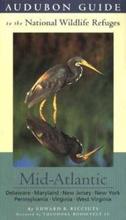
Search results from Open Library.
Recent natural events nearby
- Little Schloss RX Prescribed Fire, Shenandoah, VirginiaWildfires · 2026-06-10 · 190 mi
Wildfires, storms and other events from NASA EONET (last 12 months, within 250 mi).
Ground air-quality sensors
Recently spotted species

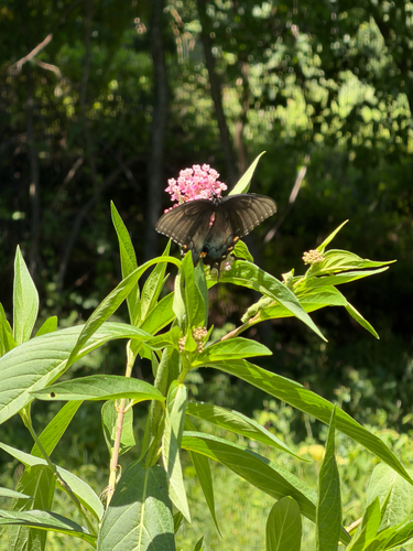
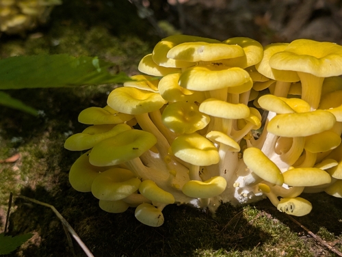
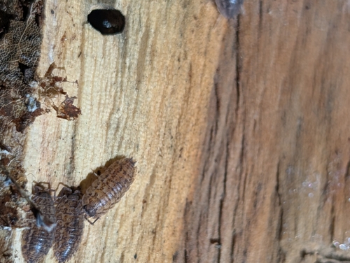
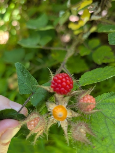
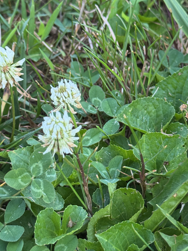
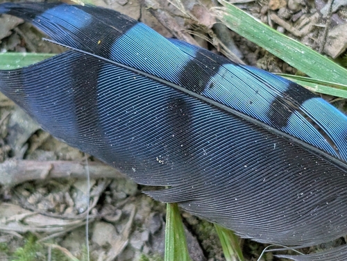
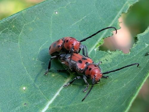
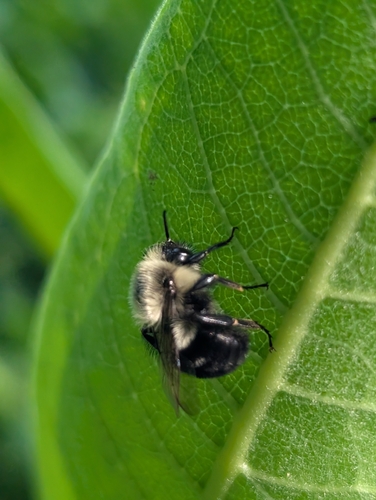
Research-grade observations from iNaturalist (within ~15 mi).
Nearest stream gauge
Events
Gallery
Geotagged photos within ~6 miles of Audubon, from Wikimedia Commons contributors.
.jpg) 0.3 mi
0.3 mi 0.7 mi
 0.9 mi
 0.9 mi
_west_of_the_exit_for_Pennsylvania_State_Route_363_in_Lower_Providence_Township,_Montgomery_County,_Pennsylvania.jpg) 0.9 mi
0.9 mi 0.9 mi
.jpg) 1 mi
1 mi 1 mi
1 mi.jpg) 1 mi
1 mi_just_west_of_the_exit_for_Pennsylvania_State_Route_363_in_Lower_Providence_Township,_Montgomery_County,_Pennsylvania.jpg) 1 mi
1 mi_at_the_exit_for_Oaks_and_Audubon_in_Upper_Providence_Township,_Montgomery_County,_Pennsylvania.jpg) 1.1 mi
1.1 mi_at_the_exit_for_Oaks_and_Audubon_in_Upper_Providence_Township,_Montgomery_County,_Pennsylvania.jpg) 1.1 mi
1.1 mi_at_the_exit_for_Pennsylvania_State_Route_363_(Trooper)_in_Lower_Providence_Township,_Montgomery_County,_Pennsylvania.jpg) 1.1 mi
1.1 mi 1.1 mi
 1.2 mi
_at_the_exit_for_U.S._Route_422_WEST_(Pottstown)_along_the_border_of_Lower_Providence_Township_and_West_Norriton_Township_in_Montgomery_County,_Pennsylvania.jpg) 1.2 mi
1.2 mi 1.3 mi
_just_west_of_the_exit_for_Pennsylvania_State_Route_363_in_West_Norriton_Township,_Montgomery_County,_Pennsylvania.jpg) 1.3 mi
1.3 mi_from_the_overpass_for_Pennsylvania_State_Route_363_(Trooper_Road)_in_Lower_Providence_Township,_Montgomery_County,_Pennsylvania.jpg) 1.3 mi
1.3 mi_from_the_overpass_for_Pennsylvania_State_Route_363_(Trooper_Road)_in_West_Norriton_Township,_Montgomery_County,_Pennsylvania.jpg) 1.3 mi
1.3 mi_at_the_exit_for_U.S._Route_422_EAST_(King_of_Prussia)_along_the_border_of_Lower_Providence_Township_and_West_Norriton_Township_in_Montgomery_County,_Pennsylvania.jpg) 1.3 mi
1.3 mi_at_the_exit_for_U.S._Route_422_WEST_(Pottstown)_along_the_border_of_Lower_Providence_Township_and_West_Norriton_Township_in_Montgomery_County,_Pennsylvania.jpg) 1.3 mi
1.3 mi 1.3 mi
.jpg) 1.4 mi
1.4 miPhotos via Wikimedia Commons — see each image page for license & attribution.
Sources
- • Wikipedia
- • US Census Bureau (ACS 5-year estimates)
- • Open-Meteo (ERA5 reanalysis)
- • NOAA National Weather Service
- • Wikimedia Commons
- • Wikidata
- • Open-Meteo Air Quality (CAMS)
- • USGS Earthquake Catalog (global feed)
- • NCES via Urban Institute Education Data Portal
- • GBIF (Global Biodiversity Information Facility)
- • iNaturalist
- • Open-Meteo / sunrise-sunset.org
- • Wikipedia Pageviews API
- • Open Library
- • NASA EONET