Browse / United States / Pennsylvania / Curwensville
Curwensville
Pennsylvaniaborough

Curwensville
Total population
2,472
Median home value
$109,100
Bachelor's+
Median income
$56,400
Founded
1799
Demographic figures from US Census Bureau · ACS 5-year estimates. Overview below cites Wikipedia and may reference a different year.
City facts
Facts from Wikidata (CC0).
Overview
Curwensville is a borough in Clearfield County, Pennsylvania, United States, 45 miles (72 km) north of Altoona on the West Branch Susquehanna River. Coal mining, tanning, and the manufacture of fire bricks were the industries at the turn of the 20th century. In 1900, 1,937 people lived in the borough, and in 1910, 2,549 lived there. As of the 2020 census, Curwensville had a population of 2,567. The population of the borough at its highest was 3,422 in 1940.
Read more on WikipediaHistory & geography
History
Curwensville was named for John Curwen in 1799. Once the Borough was established and local government formed, many improvements were made to this country village, including sidewalks being laid on Filbert, Thompson, and Pine Streets in May 1855, the first bridge constructed in the borough in 1870, and in 1890 the first water system was established. The town began to do well financially because of the lumber trade along the West Branch of the Susquehanna River. The leather trade has been and continues to be a large industry in Curwensville, Wickett and Craig. The Clearfield Cheese Company has been producing high-quality cheese out of Curwensville, Pennsylvania since 1938. In 1956, a man named Arnold Nawrocki came up with the idea to invent a method for wrapping cheese slices in cellophane, which drastically increased their shelf life and changed the modern cheese industry. Curwensville became the second borough of Clearfield County in 1851. North American Refractories Company (NARCO) was a brick plant in Curwensville. The "Brick Yard" as most called it in the community made many different types of brick. Seneca, acid, and cardic brick were all manufactured in NARCO. They were also noted for hot gun models and specialty shapes. The sandstone quarry owned by Russell Stone Products, Inc. in Curwensville, PA, is a valued asset. Although the site had remained dormant for a lengthy period of time in the 1900s, today it is a viable source that has extensively supplied material for many prominent projects nationwide. Lezzer Lumber founded in 1927, by Michael Lezzer and his cousins, Louie and Charlie Sandri. They specialized in building materials and farm equipment sales and repair. The company has been a source of lumber in the area since, though the original store burnt…
Geography
Curwensville is located near the center of Clearfield County at (40.973408, -78.522318), along the banks of the West Branch Susquehanna River. Curwensville Lake on the West Branch is impounded south of the borough and extends southwest to Lumber City. Pennsylvania Route 879 passes through Curwensville, leading northeast (downstream) to Clearfield, the county seat, and west to Grampian. According to the United States Census Bureau, Curwensville has a total area of , of which is land and , or 4.49%, is water.
Excerpted from the corresponding Wikipedia article (CC BY-SA).
Demographics & economy
Race & ethnicity
Source: US Census Bureau — American Community Survey, 5-year estimates.
Geography
Coordinates & boundaries from the US Census TIGER/Line shapefiles.
Climate
Current forecast
Forecast for Curwensville, PA from NOAA NWS API.
Air quality
Industrial & pollution facilities
Natural hazard risk
Health (adults)
Walkability
Amenities nearby
Wildlife & biodiversity
Schools
Largest nearby schools
- Clearfield Area El SchElementary · Clearfield · 1,059 students · 11.6:1 ratio
- Clearfield Area JSHSHigh · Clearfield · 1,017 students · 12.1:1 ratio
- Curwensville Area El SchElementary · Curwensville · 536 students · 12.2:1 ratio
- Curwensville Area JSHSHigh · Curwensville · 453 students · 12.2:1 ratio
- Clearfield County CTCHigh · Clearfield · 14 students · 0.8:1 ratio
Public K–12 schools within ~10 mi from Urban Institute Education Data Portal (NCES Common Core of Data, 2022).
Earthquake history
Photos
Sights & places nearby
Notable people from here


People born within ~10 km, from Wikidata (CC0). Click any name for their Wikipedia article.
Nearby places in Pennsylvania
Geography & sun
Elevation, sunrise/sunset and daylight from Open-Meteo. Solar climatology from NASA POWER.
Nearby airports
Public attention
Pageview totals from the Wikimedia Pageviews API.
Books about Curwensville
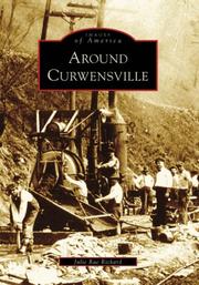

Search results from Open Library.
Recent natural events nearby
Ground air-quality sensors
Recently spotted species
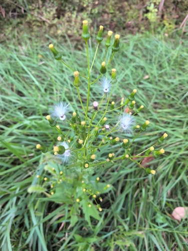

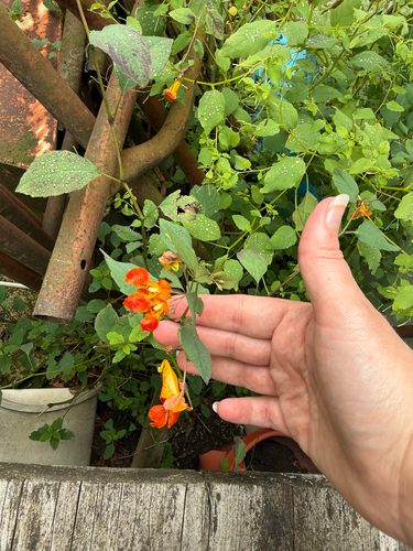
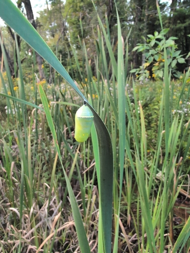

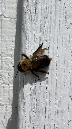
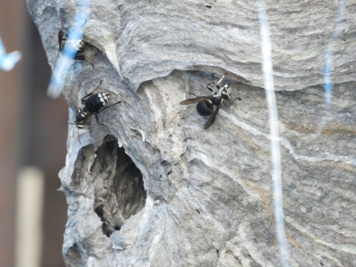
Research-grade observations from iNaturalist (within ~15 mi).
Nearest stream gauge
Events
Gallery
Sources
- • Wikipedia
- • US Census Bureau (ACS 5-year estimates)
- • NOAA National Weather Service
- • Wikidata
- • NCES via Urban Institute Education Data Portal
- • iNaturalist
- • Open-Meteo / sunrise-sunset.org
- • Wikipedia Pageviews API
- • Open Library