Browse / United States / Pennsylvania / Harrisburg
Harrisburg
Pennsylvaniacity

Harrisburg
Total population
50,287
Median home value
$124,200
Bachelor's+
Median income
$48,099
Founded
1719
Air quality index
Demographic figures from US Census Bureau · ACS 5-year estimates. Overview below cites Wikipedia and may reference a different year.
- Freeze Watch · SevereFreeze Watch issued October 16 at 12:30PM EDT until October 18 at 9:00AM EDT by NWS State College PA
Source: NOAA National Weather Service.
City facts
Sister cities
Facts from Wikidata (CC0).
Overview
Harrisburg is the capital city of the U.S. commonwealth of Pennsylvania. It is the ninth-most populous city in the state, with a population of 50,099 at the 2020 census, while the Harrisburg–Carlisle metropolitan statistical area has an estimated 615,000 residents and is the fourth-most populous metropolitan area in Pennsylvania. Harrisburg is situated on the east bank of the Susquehanna River 83 miles (134 km) southwest of Allentown and 108 miles (174 km) northwest of Philadelphia. It is officially incorporated as a third-class city and is the county seat of Dauphin County.
Read more on WikipediaHistory & geography
History
Harrisburg's site along the Susquehanna River is thought to have been inhabited by Native Americans as early as 3000 BC. Known to the Native Americans as "Peixtin", or "Paxtang", the area was an important resting place and crossroads for Native American traders with trails leading from the Delaware to the Ohio rivers and from the Potomac to the Upper Susquehanna intersecting there. The first European contact with Native Americans in Pennsylvania was made by Englishman Captain John Smith, who journeyed from Virginia up the Susquehanna River in 1608 and visited with the Susquehanna tribe. In 1719, John Harris, Sr., an English trader, settled here; 14 years later, he secured grants of in this vicinity. In 1785, John Harris, Jr. made plans to lay out a town on his father's land, which he named Harrisburg. In the spring of 1785, the town was formally surveyed by William Maclay, who was a son-in-law of John Harris, Sr. In 1791, Harrisburg became incorporated. In October 1812 Harrisburg was named the Pennsylvania state capital, which it has remained ever since. The assembling here of the highly sectional Harrisburg Convention in 1827 (signaling what may have been the birth of lobbying on a national scale) led to the passage of the high protective-tariff bill of 1828. In 1839, William Henry Harrison and John Tyler were nominated for president and Vice President of the United States at the first national convention of the Whig Party of the United States, which was held in Harrisburg. Before Harrisburg gained its first industries, it was a scenic, pastoral town: compact and surrounded by farmland. In 1822, the impressive brick capitol was completed for $200,000 (~$ in ). Harrisburg's strategic location gave it an advantage over many other towns; it was settled as a trading…
Geography
Harrisburg is located at (40.269789, −76.875613) in South Central Pennsylvania, within a two-hour drive of the metro areas of Baltimore, Washington, D.C., Philadelphia and three-hour drive of New York City and Pittsburgh. According to the United States Census Bureau, the city has a total area of , of which is land and (29.11%) is water. Bodies of water include Paxton Creek, which empties into the Susquehanna River at Harrisburg, as well as Wildwood Lake and Italian Lake parks. In land area Harrisburg (proper) is also the third smallest of the United States capital cities. Directly to the north of Harrisburg is the Blue Mountain ridge of the Appalachian Mountains. The Cumberland Valley lies directly to the west of Harrisburg and the Susquehanna River, stretching into northern Maryland. The fertile Lebanon Valley lies to the east. Harrisburg is the northern fringe of the historic Pennsylvania Dutch Country. The city is the county seat of Dauphin County. The adjacent counties are Northumberland County to the north; Schuylkill County to the northeast; Lebanon County to the east; Lancaster County to the south; and York County to the southwest; Cumberland County to the west; and Perry County to the northwest. Harrisburg's western boundary is formed by the west shore of the Susquehanna River, which runs within the city boundaries and serves as the boundary between Dauphin and Cumberland counties. Harrisburg is divided into numerous neighborhoods and districts. Like many of Pennsylvania's cities and boroughs that are at build-out stage, there are several townships outside of Harrisburg city limits that, although autonomous, use the name Harrisburg for postal and name-place designation. They include the townships of: Lower Paxton, Middle Paxton, Susquehanna, Swatara and…
Excerpted from the corresponding Wikipedia article (CC BY-SA).
Demographics & economy
Race & ethnicity
Source: US Census Bureau — American Community Survey, 5-year estimates.
Geography
Coordinates & boundaries from the US Census TIGER/Line shapefiles.
Climate
10-year averages from ERA5 reanalysis (Open-Meteo).
Current forecast
Forecast for Harrisburg, PA from NOAA NWS API.
Air quality
Current readings from Open-Meteo Air Quality API (Copernicus CAMS European reanalysis).
Industrial & pollution facilities
Natural hazard risk
Health (adults)
Walkability
Amenities nearby
Wildlife & biodiversity
Most-observed species
- Northern CardinalCardinalis cardinalis (Linnaeus, 1758) · Aves23,192
- American RobinTurdus migratorius Linnaeus, 1766 · Aves19,156
- Mourning DoveZenaida macroura (Linnaeus, 1758) · Aves17,286
- Song SparrowMelospiza melodia (A.Wilson, 1810) · Aves16,790
- House FinchHaemorhous mexicanus (P.L.Statius Müller, 1776) · Aves16,748
- Carolina WrenThryothorus ludovicianus (Latham, 1790) · Aves16,341
- Red-bellied WoodpeckerMelanerpes carolinus (Linnaeus, 1758) · Aves14,659
- Tufted TitmouseBaeolophus bicolor (Linnaeus, 1766) · Aves14,624
Citizen-science & research observations from the Global Biodiversity Information Facility (GBIF).
Schools
Largest nearby schools
- Commonwealth Charter Academy CSOther · Harrisburg · 20,355 students · 17.4:1 ratio
- Reach Cyber CSOther · Harrisburg · 6,918 students · 14.3:1 ratio
- Central Dauphin SHSHigh · Harrisburg · 1,975 students · 16.2:1 ratio
- Central Dauphin East SHSHigh · Harrisburg · 1,590 students · 15.9:1 ratio
- Harrisburg HSHigh · Harrisburg · 1,230 students · 16.2:1 ratio
- Dauphin County Technical SchoolHigh · Harrisburg · 1,125 students · 14.1:1 ratio
- Lower Dauphin HSHigh · Hummelstown · 1,085 students · 13.1:1 ratio
- Lower Dauphin MSMiddle · Hummelstown · 883 students · 13:1 ratio
Public K–12 schools within ~10 mi from Urban Institute Education Data Portal (NCES Common Core of Data, 2022).
Earthquake history
Most recent
- M 2.81 — 2019-09-155 km ESE of East Berlin, Pennsylvania
- M 3.44 — 2019-06-139 km N of Blain, Pennsylvania
- M 3.05 — 2010-06-034 km ENE of Franklintown, Pennsylvania
- M 2.76 — 2009-10-254 km ENE of Franklintown, Pennsylvania
- M 2.93 — 2009-04-241 km S of Franklintown, Pennsylvania
- M 3.37 — 2008-12-272 km NNE of Landisville, Pennsylvania
Events from the USGS Earthquake Catalog (global) (FDSN Event Web Service).
Photos
Sights & places nearby
Notable people from here


People born within ~10 km, from Wikidata (CC0). Click any name for their Wikipedia article.
Nearby places in Pennsylvania
- Marysville4.9 mi away
- Dauphin6.8 mi away · pop. 1,075
- Hummelstown9.1 mi away · pop. 4,527
- Messiah College9.7 mi away
- Boiling Springs15.7 mi away
- Carlisle Barracks15.8 mi away
- Lenkerville18.2 mi away · pop. 775
- Bloomfield18.8 mi away · pop. 1,090
- Millersburg18.8 mi away
- Elizabethville19.1 mi away
- Liverpool21.3 mi away
- Cleona21.9 mi away · pop. 1,882
Geography & sun
Elevation, sunrise/sunset and daylight from Open-Meteo. Solar climatology from NASA POWER.
Nearby airports
Public attention
Pageview totals from the Wikimedia Pageviews API.
Books about Harrisburg

Search results from Open Library.
Recent natural events nearby
- Little Schloss RX Prescribed Fire, Shenandoah, VirginiaWildfires · 2026-06-10 · 132 mi
Wildfires, storms and other events from NASA EONET (last 12 months, within 250 mi).
Ground air-quality sensors
Recently spotted species
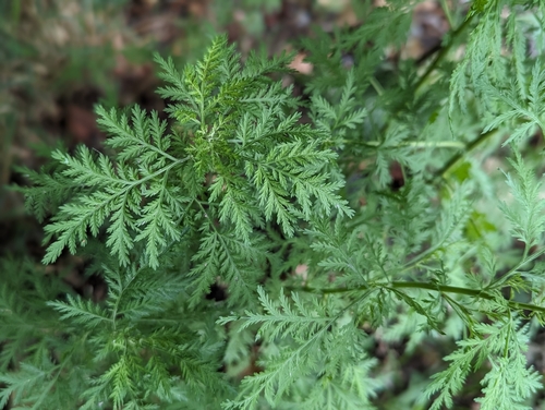
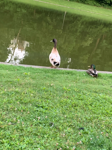
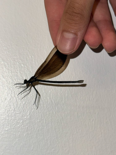
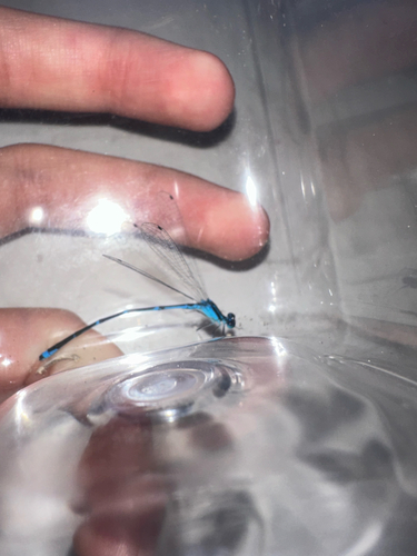
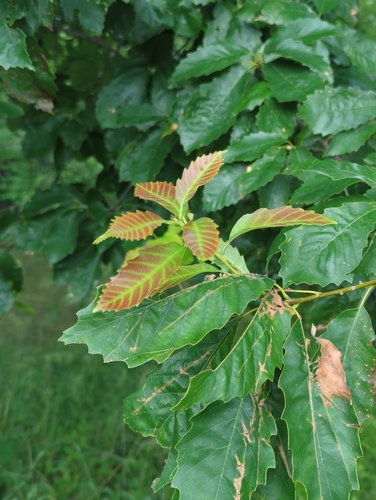
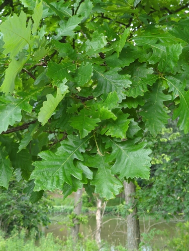
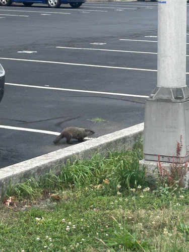
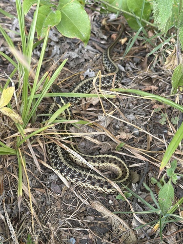
Research-grade observations from iNaturalist (within ~15 mi).
Nearest stream gauge
Live readings from USGS NWIS · measured 2024-08-09 20:56 UTC.
Events
Notable, recurring, and historical events associated with Harrisburg, sourced from Wikidata.
Source: Wikidata (CC0).
Gallery
Geotagged photos within ~6 miles of Harrisburg, from Wikimedia Commons contributors.
.jpeg) 0.2 mi
0.2 mi 0.2 mi
.jpg) 0.2 mi
0.2 mi 0.4 mi
 0.4 mi
 0.5 mi
 0.5 mi
 0.5 mi
 0.5 mi
 0.5 mi
 0.5 mi
 0.5 mi
 0.6 mi
 0.6 mi
 0.6 mi
 0.6 mi
 0.6 mi
 0.6 mi
 0.6 mi
.jpg) 0.6 mi
0.6 mi.jpg) 0.6 mi
0.6 mi.jpg) 0.6 mi
0.6 mi.jpg) 0.6 mi
0.6 mi.jpg) 0.6 mi
0.6 miPhotos via Wikimedia Commons — see each image page for license & attribution.
Sources
- • Wikipedia
- • US Census Bureau (ACS 5-year estimates)
- • Open-Meteo (ERA5 reanalysis)
- • NOAA National Weather Service
- • Wikimedia Commons
- • Wikidata
- • Open-Meteo Air Quality (CAMS)
- • USGS Earthquake Catalog (global feed)
- • USGS NWIS (water data)
- • NCES via Urban Institute Education Data Portal
- • GBIF (Global Biodiversity Information Facility)
- • iNaturalist
- • Open-Meteo / sunrise-sunset.org
- • Wikipedia Pageviews API
- • Open Library
- • NASA EONET