Browse / United States / Pennsylvania / Hazleton
Hazleton
Pennsylvaniacity

Hazleton
Total population
30,111
Median home value
$151,600
Bachelor's+
Median income
$46,177
Founded
1857
Demographic figures from US Census Bureau · ACS 5-year estimates. Overview below cites Wikipedia and may reference a different year.
City facts
Facts from Wikidata (CC0).
Overview
Hazleton is a city in Luzerne County, Pennsylvania, United States. The population was 29,963 at the 2020 census. Hazleton is the second-most populous city in Luzerne County. It was incorporated as a borough on January 5, 1857, and as a city on December 4, 1891.
Read more on WikipediaHistory & geography
History
During the early years of European colonization in the Americas, the area which today makes up the city of Hazleton sat at the intersection of two Native American trails. The Nanticoke path was used by the Nanticoke people during their migration to and settlement of the Wyoming Valley, east of Wilkes-Barre. The Nescopeck path ran from the forks of the Delaware River, to the Nescopeck Creek. It was used by traders and missionaries, Delaware war parties, and settlers. During the height of the American Revolution, in the summer of 1780, British sympathizers (known as Tories) began attacking the outposts of American revolutionaries located along the Susquehanna River in the Wyoming Valley. Because of reports of Tory activity in the region, Captain Daniel Klader and a platoon of 41 men from Northampton County were sent to investigate. They traveled north from the Lehigh Valley along a path known as "Warrior's Trail" (which is present-day Pennsylvania Route 93). This route connects the Lehigh River in Jim Thorpe (formerly known as Mauch Chunk) to the Susquehanna River in Berwick. Captain Klader's men made it as far north as present-day Conyngham, when they were ambushed by Tory militiamen and members of the Seneca tribe. In all, 15 men were killed on September 11, 1780, in what is now known as the Sugarloaf massacre. The Moravians, a Christian denomination, had been using "Warrior's Trail" since the early 18th century after the Moravian missionary Nicolaus Ludwig Zinzendorf first used it to reach the Wyoming Valley. This particular stretch of "Warrior's Trail" had an abundance of hazel trees. Though the Moravians called the region "St. Anthony's Wilderness", it eventually became known as "Hazle Swamp", a name which had been used previously by the Native Americans. The…
Geography
Hazleton is located at (40.958834, −75.974546). According to the U.S. Census Bureau, the city has a total area of , all land. Hazleton is located north of Tamaqua and south of Scranton/Wilkes-Barre. The city is located in Pennsylvania's ridge and valley section (on a plateau named Spring Mountain). Hazleton's highest elevation is above sea level, making it one of the highest incorporated cities east of the Mississippi River and the highest incorporated city in Pennsylvania. It straddles the divide between the Delaware and Susquehanna River watersheds. Hazleton and its surrounding communities are collectively known as Greater Hazleton. Greater Hazleton encompasses an area located within three counties: southern Luzerne County, northern Schuylkill County, and northern Carbon County. The population of Greater Hazleton was 77,187 at the 2010 census. Greater Hazleton includes the City of Hazleton; the boroughs of Beaver Meadows, Conyngham, Freeland, Jeddo, McAdoo, Weatherly, West Hazleton, White Haven; the townships of Black Creek, Butler, East Union, Kline, Foster, Hazle, Rush, Sugarloaf; and the towns, villages, or CDPs of Audenried, Coxes Villages, Drifton, Drums, Ebervale, Eckley, Fern Glen, Haddock, Harleigh, Harwood Mines, Hazle Brook, Highland, Hollywood, Hometown, Hudsondale, Humboldt Village, Humboldt Industrial Park, Japan, Jeansville, Junedale, Kelayres, Kis-Lyn, Lattimer, Milnesville, Nuremberg, Oneida, Pardeesville, Quakake, St. Johns, Sandy Run, Still Creek, Stockton, Sybertsville, Ringtown, Sheppton, Tomhicken, Tresckow, Upper Lehigh, Weston, and Zion Grove.
Excerpted from the corresponding Wikipedia article (CC BY-SA).
Demographics & economy
Race & ethnicity
Source: US Census Bureau — American Community Survey, 5-year estimates.
Geography
Coordinates & boundaries from the US Census TIGER/Line shapefiles.
Climate
Current forecast
Forecast for Hazleton, PA from NOAA NWS API.
Air quality
Industrial & pollution facilities
Natural hazard risk
Health (adults)
Walkability
Amenities nearby
Wildlife & biodiversity
Schools
Largest nearby schools
- Hazleton Area HSHigh · Hazle Township · 3,795 students · 19.2:1 ratio
- Heights Terrace El/MSElementary · Hazleton · 1,138 students · 16.5:1 ratio
- Maple Manor El/MSMiddle · Hazle Township · 999 students · 21.3:1 ratio
- Freeland El/MSElementary · Freeland · 951 students · 16.1:1 ratio
- West Hazleton El/MSElementary · West Hazleton · 949 students · 15.3:1 ratio
- Valley El/MSElementary · Sugarloaf · 911 students · 13.2:1 ratio
- Hazleton El/MSMiddle · Hazleton · 879 students · 17.2:1 ratio
- Drums El/MSElementary · Drums · 784 students · 16:1 ratio
Public K–12 schools within ~10 mi from Urban Institute Education Data Portal (NCES Common Core of Data, 2022).
Earthquake history
Photos
Sights & places nearby
Notable people from here


People born within ~10 km, from Wikidata (CC0). Click any name for their Wikipedia article.
Nearby places in Pennsylvania
Geography & sun
Elevation, sunrise/sunset and daylight from Open-Meteo. Solar climatology from NASA POWER.
Nearby airports
Public attention
Pageview totals from the Wikimedia Pageviews API.
Books about Hazleton


Search results from Open Library.
Recent natural events nearby
Ground air-quality sensors
Recently spotted species
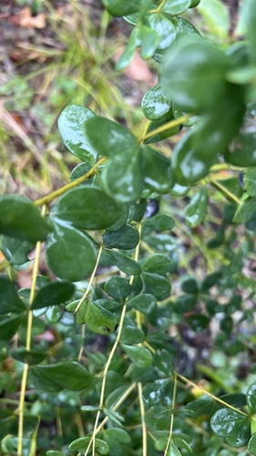
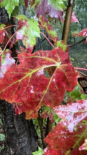
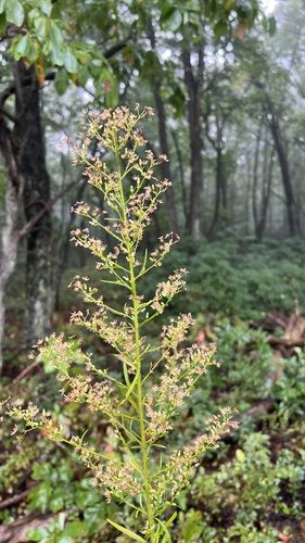
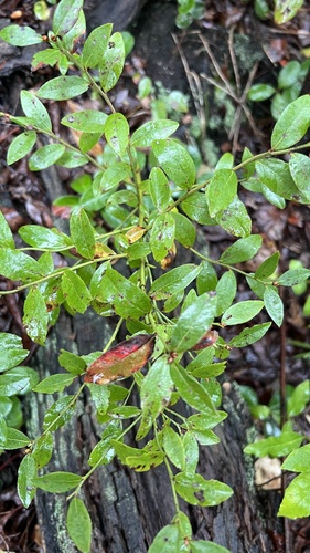
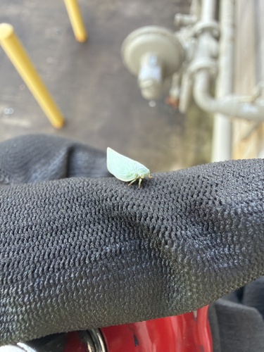
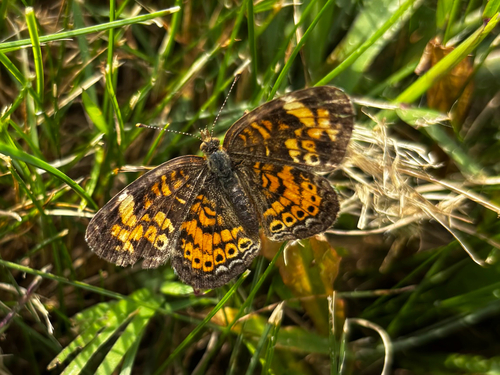
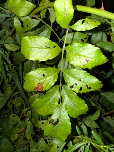
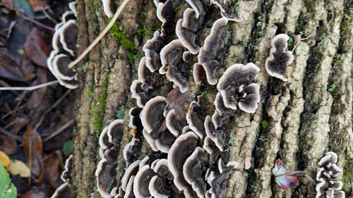
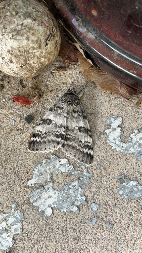
Research-grade observations from iNaturalist (within ~15 mi).
Nearest stream gauge
Events
Gallery
Sources
- • Wikipedia
- • US Census Bureau (ACS 5-year estimates)
- • NOAA National Weather Service
- • Wikidata
- • NCES via Urban Institute Education Data Portal
- • iNaturalist
- • Open-Meteo / sunrise-sunset.org
- • Wikipedia Pageviews API
- • Open Library