Browse / United States / Pennsylvania / Heckscherville
Heckscherville
PennsylvaniaCDP

Heckscherville
Total population
279
Median home value
$79,600
Bachelor's+
Median income
$75,250
Demographic figures from US Census Bureau · ACS 5-year estimates. Overview below cites Wikipedia and may reference a different year.
City facts
Facts from Wikidata (CC0).
Overview
Heckscherville is a census-designated place (CDP) in Schuylkill County, Pennsylvania, United States. The population was 196 at the 2020 census.
Read more on WikipediaHistory & geography
History
The earliest available history shows that in 1831 the entire Heckscherville valley contained only two villages. At this time the valley was called “Chapmanville” after the owners of the coal mines. In 1843 the Chapmanville interests were taken over by George and William Payne. Subsequently, the valley's name was changed to “Payne’s Patch”. With coal sales increasing, the Payne brothers found it necessary to secure additional laborers. Taking advantage of the famine in Ireland in 1845, they traveled to Ireland to persuade hundreds of families and individuals to move to America. The Payne brothers focused on the Queens and Kilkenny counties, and provided transportation, employment and homes to those who agreed to move. Before the brothers returned to Payne's Patch, the valley was populated almost entirely by Welsh with only a few scattered Irish families. However, when they did return with the Irish immigrants, the Welsh started to migrate elsewhere and the population changed to mostly Irish. This influx of immigrants continued until almost the entire population was either Irish or of Irish descent. Because of this, the small valley then became known as the “Irish Valley”. The August Heckscher family from New York acquired the Payne brothers holding, and changed the name to Heckscherville. Years later the population began to undergo another change. The coal companies, due to a manpower shortage, began to bring into the region laborers from various countries in Europe. Nationalities included: Polish, Lithuanians, Slavs, and Greeks. Today nearly every nationality is represented in the eight miles of the Heckscherville Valley.
Geography
Heckscherville is located at (40.720951, -76.266458). According to the United States Census Bureau, the CDP has a total area of , all land. Heckscherville Valley includes all of Foster Township, a small portion of New Castle Township and a large part of Cass Township. The Valley is situated between Broad Mountain on the north and the Thomaston / Mine Hill on the west. It is composed of the following villages: Greenbury, Coal Castle, Kanes Hollow, Pine Knot, Cherry Valley, Heckscherville, Upper and Lower Glen Carbon, Courtneys, Upper and Lower Buck Run and Rohersvilla. Kear's Hill and Green Hill are settlements that once existed in the valley, but have now disappeared to make way for advanced coal production.
Excerpted from the corresponding Wikipedia article (CC BY-SA).
Demographics & economy
Race & ethnicity
Source: US Census Bureau — American Community Survey, 5-year estimates.
Geography
Coordinates & boundaries from the US Census TIGER/Line shapefiles.
Climate
Air quality
Industrial & pollution facilities
Natural hazard risk
Health (adults)
Walkability
Amenities nearby
Wildlife & biodiversity
Schools
Largest nearby schools
- North Schuylkill Elem SchElementary · Ashland · 1,089 students · 14.5:1 ratio
- North Schuylkill JSHSHigh · Ashland · 1,008 students · 16.5:1 ratio
- Pottsville Area HSHigh · Pottsville · 898 students · 16.6:1 ratio
- Clarke El CtrElementary · Pottsville · 805 students · 13.6:1 ratio
- Blue Mountain HSHigh · Schuylkill Haven · 803 students · 11.2:1 ratio
- Lengel MSMiddle · Pottsville · 699 students · 13.7:1 ratio
- Shenandoah Valley El SchElementary · Shenandoah · 667 students · 12.8:1 ratio
- Mahanoy Area El SchElementary · Mahanoy City · 570 students · 11.6:1 ratio
Public K–12 schools within ~10 mi from Urban Institute Education Data Portal (NCES Common Core of Data, 2022).
Earthquake history
Photos
Sights & places nearby
Notable people from here


People born within ~10 km, from Wikidata (CC0). Click any name for their Wikipedia article.
Nearby places in Pennsylvania
Geography & sun
Elevation, sunrise/sunset and daylight from Open-Meteo. Solar climatology from NASA POWER.
Nearby airports
Public attention
Pageview totals from the Wikimedia Pageviews API.
Books about this place
Recent natural events nearby
Ground air-quality sensors
Recently spotted species
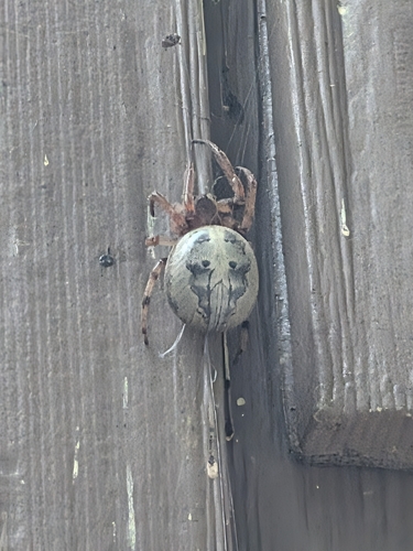
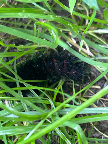
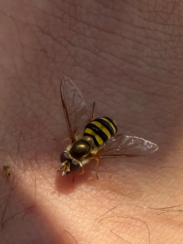
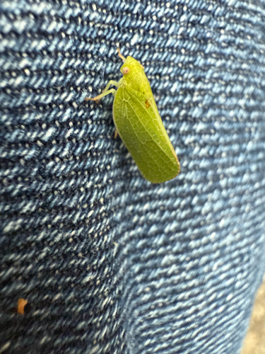
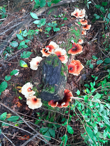
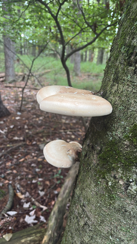
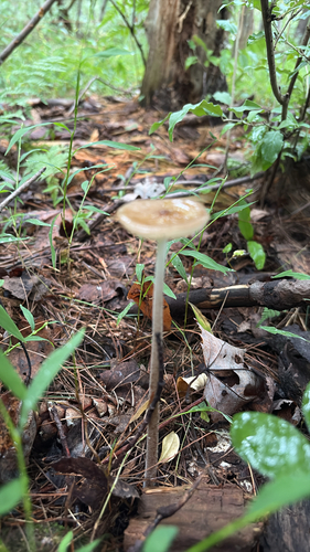
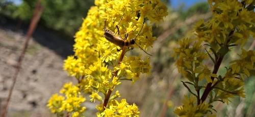

Research-grade observations from iNaturalist (within ~15 mi).
Nearest stream gauge
Events
Gallery
Sources
- • Wikipedia
- • US Census Bureau (ACS 5-year estimates)
- • Wikidata
- • NCES via Urban Institute Education Data Portal
- • iNaturalist
- • Open-Meteo / sunrise-sunset.org
- • Wikipedia Pageviews API