Browse / United States / Pennsylvania / Lancaster
Lancaster
Pennsylvaniacity

Lancaster
Total population
57,719
Median home value
$219,500
Bachelor's+
Median income
$63,690
Founded
1730
Demographic figures from US Census Bureau · ACS 5-year estimates. Overview below cites Wikipedia and may reference a different year.
- Severe Thunderstorm Watch · SevereSevere Thunderstorm Watch issued October 16 at 3:57PM EDT until October 16 at 8:00PM EDT by NWS State College PA
- Freeze Watch · SevereFreeze Watch issued October 16 at 12:30PM EDT until October 18 at 9:00AM EDT by NWS State College PA
Source: NOAA National Weather Service.
City facts
Sister cities
Facts from Wikidata (CC0).
Overview
Lancaster is a city in Lancaster County, Pennsylvania, United States, and its county seat. With a population of 58,039 at the 2020 census, it is the eighth-most populous city in the state. It is a core city within South Central Pennsylvania, with 552,984 residents in the Lancaster metropolitan area.
Read more on WikipediaHistory & geography
History
Originally called Hickory Town, Lancaster was renamed after the English city of Lancaster by native John Wright. Its symbol, the red rose, is from the House of Lancaster. Lancaster was part of the 1681 Penn's Woods Charter of William Penn, and was laid out by James Hamilton in 1734. It was incorporated as a borough in 1742 and incorporated as a city in 1818. In the summer of 1744 the Lancaster courthouse was the venue for an important colonial treaty between the Haudenosaunee Confederacy and the Provinces of Pennsylvania, Maryland, and Virginia. Conrad Weiser served as interpreter, and the text of the treaty was soon after published by Benjamin Franklin. During the American Revolution, Lancaster served for one day as the temporary capital of the United States, seated at the Court House (built 1739, destroyed by fire in 1784 and rebuilt before relocating to current Lancaster County Courthouse in 1852; original site is now the Soldiers & Sailors Monument at Penn Square c. 1874), on September 27, 1777, after the Continental Congress fled Philadelphia, which had been captured by the British. The revolutionary government then moved still farther away to York, Pennsylvania. A surviving mid-18th-century Torah ark lintel from the Lancaster home of Joseph Simon reflects the use of private homes for traditional Jewish prayer in colonial cities without synagogues. Its carving depicts the Tablets of the Law and bears the Hebrew phrase “Know before Whom you are standing.” Lancaster was the capital of Pennsylvania from 1799 to 1812, with the state capital located at the Court House (built 1784 and demolished 1852 and now site of Soldiers & Sailors Monument at Penn Square). It replaced a 1737 structure on a different site. The first long-distance paved road in the United…
Geography
Lancaster is located in the Piedmont region of Pennsylvania. It lies slightly north of the Conestoga River, a left tributary of the Susquehanna River. According to the U.S. Census Bureau, the city has a total area of , of which, of it is land and 1.65% is water. * Cabbage Hill/The Hill (named for the cabbage patches kept by ethnic Germans in this area) * Chestnut Hill * Downtown/Center City * Downtown Investment District * Historic East Side * Eighth Ward * Gallery Row/Arts District * Galebach Ward * Northwest Corridor * Penn Square * Prospect Heights * Seventh Ward * Sixth Ward * Uptown * West End * Woodward Hill * Musser Park * Mussertown Under the Köppen climate classification, Lancaster falls within either a hot-summer humid continental climate (Dfa) if the isotherm is used or a humid subtropical climate (Cfa) if the isotherm is used. The hottest recorded temperature in the city was on August 7, 1918, while the coldest recorded temperature was on January 22, 1984. On average, the city receives 42 inches of precipitation a year. September is the wettest month of the year and February the driest. The snowiest winter on record for Lancaster was the winter of 2009-10 when 72 inches of snow fell and the smallest amount of snow on record was when four inches fell during the winter of 1949–50. The highest recorded January temperature was on January 26, 1950, and the coldest July temperature on July 4, 1918. On average, the city receives 203 days of sun a year. The shortest days of the year are between December 18 and December 25, when day length is nine hours and 19 minutes. The sun reaches its lowest point in the sky of 26° between December 11 and December 31. The longest days of the year are June 19 to June 23, reaching 15 hours and one minute. The sun reaches…
Excerpted from the corresponding Wikipedia article (CC BY-SA).
Demographics & economy
Race & ethnicity
Source: US Census Bureau — American Community Survey, 5-year estimates.
Geography
Coordinates & boundaries from the US Census TIGER/Line shapefiles.
Climate
Current forecast
Forecast for Lancaster, PA from NOAA NWS API.
Air quality
Industrial & pollution facilities
Natural hazard risk
Health (adults)
Walkability
Amenities nearby
Wildlife & biodiversity
Most-observed species
- Northern CardinalCardinalis cardinalis (Linnaeus, 1758) · Aves24,996
- American RobinTurdus migratorius Linnaeus, 1766 · Aves21,454
- Carolina WrenThryothorus ludovicianus (Latham, 1790) · Aves19,704
- Mourning DoveZenaida macroura (Linnaeus, 1758) · Aves19,012
- Blue JayCyanocitta cristata (Linnaeus, 1758) · Aves17,937
- Carolina ChickadeePoecile carolinensis (Audubon, 1834) · Aves16,909
- Song SparrowMelospiza melodia (A.Wilson, 1810) · Aves16,571
- American GoldfinchSpinus tristis (Linnaeus, 1758) · Aves16,034
Citizen-science & research observations from the Global Biodiversity Information Facility (GBIF).
Schools
Largest nearby schools
- McCaskey CampusHigh · Lancaster · 2,620 students · 14.6:1 ratio
- Hempfield SHSHigh · Landisville · 2,268 students · 16.3:1 ratio
- Manheim Twp HSHigh · Lancaster · 1,899 students · 16:1 ratio
- Penn Manor HSHigh · Millersville · 1,783 students · 17:1 ratio
- Conestoga Valley SHSHigh · Lancaster · 1,282 students · 15.4:1 ratio
- Warwick SHSHigh · Lititz · 1,230 students · 11.8:1 ratio
- Gerald G Huesken MSMiddle · Lancaster · 965 students · 14.6:1 ratio
- Manheim Twp MSMiddle · Lancaster · 955 students · 13.3:1 ratio
Public K–12 schools within ~10 mi from Urban Institute Education Data Portal (NCES Common Core of Data, 2022).
Earthquake history
Most recent
- M 2.6 — 2021-06-252 km SE of Woodlawn, Maryland
- M 2.81 — 2019-09-155 km ESE of East Berlin, Pennsylvania
- M 2.64 — 2015-01-254 km ESE of Downingtown, Pennsylvania
- M 3.05 — 2010-06-034 km ENE of Franklintown, Pennsylvania
- M 2.76 — 2009-10-254 km ENE of Franklintown, Pennsylvania
- M 2.78 — 2009-07-013 km ESE of Pennsville, New Jersey
Events from the USGS Earthquake Catalog (global) (FDSN Event Web Service).
Photos
Sights & places nearby
Notable people from here


People born within ~10 km, from Wikidata (CC0). Click any name for their Wikipedia article.
Nearby places in Pennsylvania
- Millersville3.7 mi away
- Bird-in-Hand5.9 mi away · pop. 537
- Lititz7.7 mi away · pop. 9,619
- Brickerville12.8 mi away · pop. 1,257
- Christiana17.2 mi away · pop. 998
- Felton18.8 mi away · pop. 453
- Churchtown19.6 mi away · pop. 763
- East York20.5 mi away · pop. 9,388
- Little Britain20.8 mi away
- Honey Brook20.9 mi away · pop. 1,941
- Hebron21.2 mi away · pop. 1,125
- Cochranville22.3 mi away · pop. 590
Geography & sun
Elevation, sunrise/sunset and daylight from Open-Meteo. Solar climatology from NASA POWER.
Nearby airports
Public attention
Pageview totals from the Wikimedia Pageviews API.
Books about Lancaster



Search results from Open Library.
Recent natural events nearby
Ground air-quality sensors
Recently spotted species
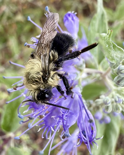

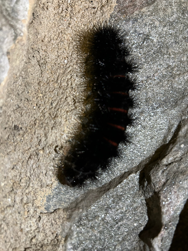
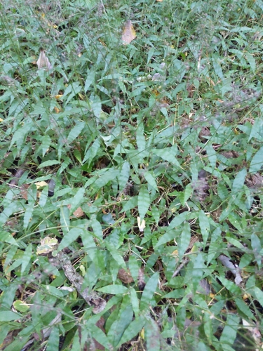

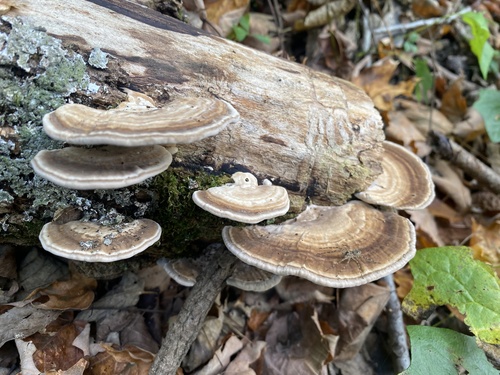
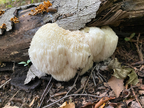
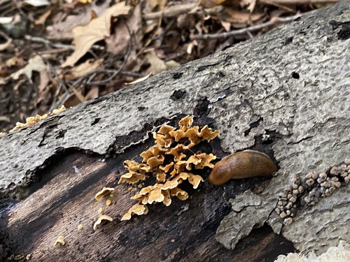
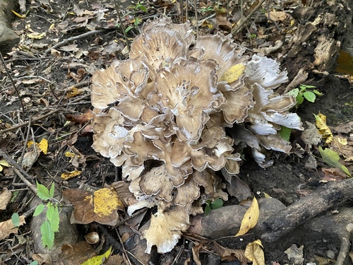
Research-grade observations from iNaturalist (within ~15 mi).
Nearest stream gauge
Events
Notable, recurring, and historical events associated with Lancaster, sourced from Wikidata.
- Zenkaikonrecurring event
multi-genre convention held during spring at the Lancaster County Convention Center in Lancaster, Pennsylvania
Source: Wikidata (CC0).
Gallery
Sources
- • Wikipedia
- • US Census Bureau (ACS 5-year estimates)
- • NOAA National Weather Service
- • Wikidata
- • USGS Earthquake Catalog (global feed)
- • NCES via Urban Institute Education Data Portal
- • GBIF (Global Biodiversity Information Facility)
- • iNaturalist
- • Open-Meteo / sunrise-sunset.org
- • Wikipedia Pageviews API
- • Open Library