Browse / United States / Pennsylvania / Levittown
Levittown
PennsylvaniaCDP

Levittown
Total population
50,926
Median home value
$341,300
Bachelor's+
Median income
$105,071
Founded
1952
Air quality index
Demographic figures from US Census Bureau · ACS 5-year estimates. Overview below cites Wikipedia and may reference a different year.
City facts
Facts from Wikidata (CC0).
Overview
Levittown is a census-designated place (CDP) and planned community in Bucks County, Pennsylvania, United States. The community includes portions of the municipalities of Bristol Township, Falls Township, Middletown Township and Tullytown Borough, but is not itself an independent municipality. Levittown is part of the Philadelphia metropolitan area with a population was 52,699 at the 2020 census, which is down from 52,983 at the 2010 census.
Read more on WikipediaHistory & geography
History
Most of the land on which Levittown is built was purchased in 1951. Levitt and Sons only built six models of houses in Levittown, all single-family dwellings with lawns: the Levittowner, the Rancher, the Jubilee, the Pennsylvanian, the Colonial and the Country Clubber, with only modest exterior variations within each model. The homes were moderately priced and required only a low down payment. Construction of Levittown began in February 1952, soon after completion of Levittown, New York, located on Long Island. Levittown, Pennsylvania, was the second "Levittown" built by William J. Levitt, who is often credited as the creator of the modern American suburb. To speed up construction, Levitt & Sons perfected a 26-step rationalized building method that was essentially an assembly line type of home building. The house remained stationary while construction workers moved from site to site, each repeatedly performing a task such as pouring foundations, putting up pre-fabricated walls, installing plumbing, or doing electrical work. At peak production, this highly regimented process enabled Levitt's workers to produce a finished house every sixteen minutes. Construction of the homes commenced in 1952 and when completed in 1958, 17,311 homes had been built. Residents, who are sometimes called Levittowners, were first expected to comply with a lengthy list of rules and regulations regarding the upkeep of their homes and use of their property. Two of these "rules" included a prohibition on hanging laundry out to dry on Sunday and not allowing homeowners to fence off their yards. These proved unenforceable over time, particularly when backyard pools became financially accessible to the working class and privacy concerns drove many to fence off their yards. In the years since…
Geography
Levittown is located at . Levittown lies in the southern end of Bucks County ("Lower Bucks"), between Philadelphia and Trenton, New Jersey; Downtown Philadelphia ("Center City") is approximately away. It is part of the Philadelphia metropolitan area. It is adjacent to and nearly surrounds Fairless Hills, a suburban community more modest in scale, but that shares many of Levittown's characteristics. According to the United States Census Bureau, the CDP has a total area of , of which 0.5 km (0.59%) is water. It has a humid subtropical climate (Cfa) bordering a hot-summer humid continental climate (Dfa) and average monthly temperatures in the central CDP range from 32.2 °F in January to 76.1 °F in July. The local hardiness zone is 7a.
Excerpted from the corresponding Wikipedia article (CC BY-SA).
Demographics & economy
Race & ethnicity
Source: US Census Bureau — American Community Survey, 5-year estimates.
Geography
Coordinates & boundaries from the US Census TIGER/Line shapefiles.
Climate
Current forecast
Forecast for Levittown, PA from NOAA NWS API.
Air quality
Current readings from Open-Meteo Air Quality API (Copernicus CAMS European reanalysis).
Industrial & pollution facilities
Natural hazard risk
Health (adults)
Walkability
Amenities nearby
Wildlife & biodiversity
Most-observed species
- Northern CardinalCardinalis cardinalis (Linnaeus, 1758) · Aves47,501
- American RobinTurdus migratorius Linnaeus, 1766 · Aves43,163
- Mourning DoveZenaida macroura (Linnaeus, 1758) · Aves39,884
- Blue JayCyanocitta cristata (Linnaeus, 1758) · Aves38,486
- Carolina WrenThryothorus ludovicianus (Latham, 1790) · Aves37,811
- Song SparrowMelospiza melodia (A.Wilson, 1810) · Aves37,458
- Canada Goose (canadensis Group)Branta canadensis (Linnaeus, 1758) · Aves35,968
- Red-bellied WoodpeckerMelanerpes carolinus (Linnaeus, 1758) · Aves34,788
Citizen-science & research observations from the Global Biodiversity Information Facility (GBIF).
Schools
Largest nearby schools
- Neshaminy HSHigh · Langhorne · 2,933 students · 18.6:1 ratio
- Pennsbury HSHigh · Fairless Hills · 2,865 students · 13.2:1 ratio
- Bensalem Twp HSHigh · Bensalem · 2,120 students · 16.4:1 ratio
- Council Rock HS SouthHigh · Holland · 1,940 students · 14.6:1 ratio
- Truman SHSHigh · Levittown · 1,670 students · 14.3:1 ratio
- Council Rock HS NorthHigh · Newtown · 1,622 students · 12.8:1 ratio
- Bucks County Technical High SchoolHigh · Fairless Hills · 1,439 students · 12.7:1 ratio
- School Lane CSOther · Bensalem · 1,324 students · 12.3:1 ratio
Public K–12 schools within ~10 mi from Urban Institute Education Data Portal (NCES Common Core of Data, 2022).
Earthquake history
Most recent
- M 2.9 — 2024-05-246 km E of Califon, New Jersey
- M 2.6 — 2024-05-011 km NW of Gladstone, New Jersey
- M 2.9 — 2024-04-277 km WSW of Gladstone, New Jersey
- M 2.6 — 2024-04-105 km WSW of Gladstone, New Jersey
- M 3.7 — 2024-04-057 km WSW of Gladstone, New Jersey
- M 2.6 — 2024-04-056 km ESE of Califon, New Jersey
Events from the USGS Earthquake Catalog (global) (FDSN Event Web Service).
Photos
Sights & places nearby
Notable people from here


People born within ~10 km, from Wikidata (CC0). Click any name for their Wikipedia article.
Nearby places in Pennsylvania
- Fairless Hills1.8 mi away · pop. 8,827
- Hulmeville3 mi away · pop. 925
- Bristol3.4 mi away
- Langhorne Manor3.6 mi away
- Langhorne4.1 mi away · pop. 1,657
- Feasterville7.4 mi away
- Churchville8.4 mi away
- Bryn Athyn11.4 mi away · pop. 1,143
- Hatboro13.5 mi away · pop. 8,283
- Elkins Park15.5 mi away
- Melrose Park15.8 mi away
- Glenside16.2 mi away
Geography & sun
Elevation, sunrise/sunset and daylight from Open-Meteo. Solar climatology from NASA POWER.
Nearby airports
Public attention
Pageview totals from the Wikimedia Pageviews API.
Books about Levittown
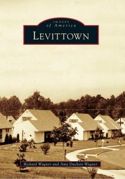


Search results from Open Library.
Recent natural events nearby
Ground air-quality sensors
Recently spotted species
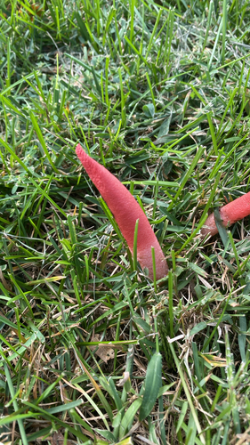
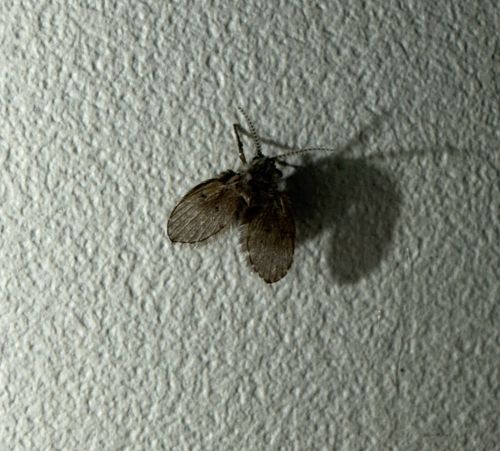
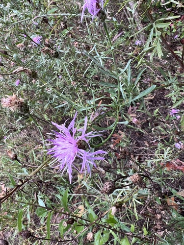
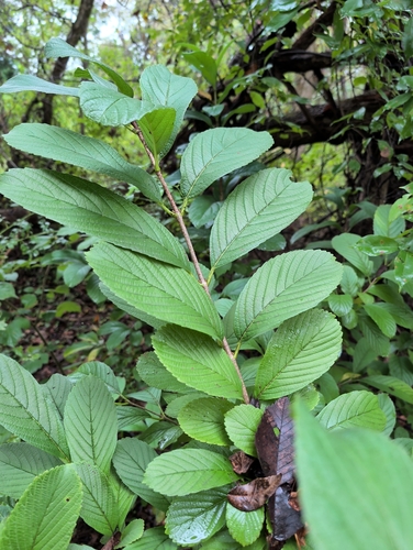
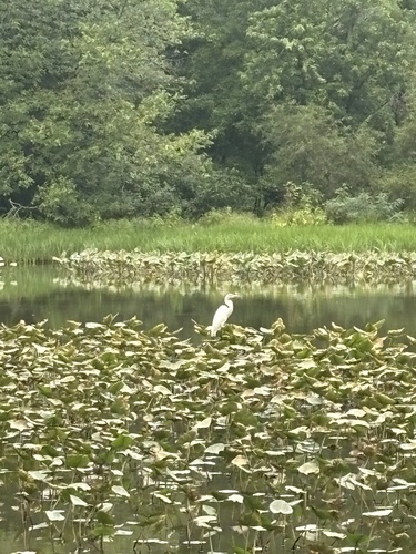
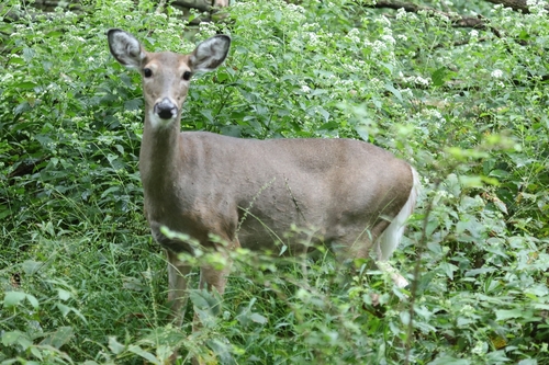

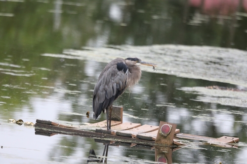
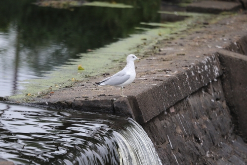
Research-grade observations from iNaturalist (within ~15 mi).
Nearest stream gauge
Live readings from USGS NWIS · measured 2026-10-11 15:59 UTC.
Events
Gallery
Sources
- • Wikipedia
- • US Census Bureau (ACS 5-year estimates)
- • NOAA National Weather Service
- • Wikidata
- • Open-Meteo Air Quality (CAMS)
- • USGS Earthquake Catalog (global feed)
- • USGS NWIS (water data)
- • NCES via Urban Institute Education Data Portal
- • GBIF (Global Biodiversity Information Facility)
- • iNaturalist
- • Open-Meteo / sunrise-sunset.org
- • Wikipedia Pageviews API
- • Open Library