Browse / United States / Pennsylvania / Lewisburg
Lewisburg
Pennsylvaniaborough

Lewisburg
Total population
5,257
Median home value
$235,200
Bachelor's+
Median income
$54,767
Founded
1784
Demographic figures from US Census Bureau · ACS 5-year estimates. Overview below cites Wikipedia and may reference a different year.
City facts
Facts from Wikidata (CC0).
Overview
Lewisburg is a borough in Union County, Pennsylvania, United States, 30 miles (48 km) south by southeast of Williamsport and 60 miles (97 km) north of Harrisburg. The population was 5,158 as of the 2020 census. It is the county seat of Union County. Located in central Pennsylvania's Susquehanna Valley, on the West Branch Susquehanna River, it is home to Bucknell University. Its 19th-century downtown, centered around Market Street, is listed on the National Register of Historic Places. Lewisburg is the principal city of the Lewisburg Micropolitan Statistical Area, and is also part of the larger Bloomsburg–Berwick–Sunbury Combined Statistical Area.
Read more on WikipediaHistory & geography
History
Lewisburg was founded in 1785 by Ludwig Derr. A settler of the area (since as early as 1763–1769), Derr purchased several tracts of land from the William Penn family and other neighboring landowners, the largest of which was known as "The Prescott". Having been on the land for such a long time, Derr had befriended the local Native Americans of the area. His relationship with these indigenous peoples was so well founded that, even as many of the other local settlers' homesteads were routinely sacked by Native Americans, Derr's lands remained free from attacks. Subsequently, in 1784, he worked with Samuel Weiser to lay out his combined land tracts, and create Derrstown. The name was later changed to Lewisburgh when Snyder County was created from Union County in 1855 (according to a local Keystone marker sign), but was known on original plans and deeds as Lewisburg before that time. U.S. Postal Service states that it was named Lewisburgh when it was established in 1796; in 1893, the name was shortened to Lewisburg. The origin of the street names that run east-west is also unknown. St. George, St. Catherine, and St. Louis appear to be named for saints. While Lutherans, as was Derr, do recognize historic Catholic saints, the street names are more likely named for Derr's family members, whose names happen to coincide with saints. Those streets are consecutively parallel and emanate from what was then Derr's home and the location of the first available lot sold (which were both situated on what is now Mill Street). George was Ludwig's son, his wife was Catherine, and himself, Ludwig/Lewis/Louis (sic). The other original street names that still exist are St. John, St. Mary and St. Anthony, which may be the names of other children from families with whom Derr's own family…
Geography
Lewisburg is located at (40.963895, -76.888154). According to the United States Census Bureau, the borough has a total area of , all land.
Excerpted from the corresponding Wikipedia article (CC BY-SA).
Demographics & economy
Race & ethnicity
Source: US Census Bureau — American Community Survey, 5-year estimates.
Geography
Coordinates & boundaries from the US Census TIGER/Line shapefiles.
Climate
Current forecast
Forecast for Lewisburg, PA from NOAA NWS API.
Air quality
Industrial & pollution facilities
Natural hazard risk
Health (adults)
Walkability
Amenities nearby
Wildlife & biodiversity
Schools
Largest nearby schools
- Lewisburg HSHigh · Lewisburg · 610 students · 15.3:1 ratio
- Kelly El SchElementary · Lewisburg · 548 students · 13.4:1 ratio
- Mifflinburg Area SHSHigh · Mifflinburg · 493 students · 12:1 ratio
- Donald H Eichhorn MSMiddle · Lewisburg · 413 students · 12.5:1 ratio
- Mifflinburg Area MSMiddle · Mifflinburg · 402 students · 13:1 ratio
- Mifflinburg Area Intrmd SchElementary · Mifflinburg · 393 students · 12.3:1 ratio
- Mifflinburg El SchElementary · Mifflinburg · 388 students · 12.1:1 ratio
- White Deer El SchElementary · New Columbia · 323 students · 13.5:1 ratio
Public K–12 schools within ~10 mi from Urban Institute Education Data Portal (NCES Common Core of Data, 2022).
Earthquake history
Photos
Sights & places nearby
Notable people from here
Nearby places in Pennsylvania
- McEwensville8.3 mi away
- Hummels Wharf9.5 mi away
- Freeburg14.2 mi away
- Danville14.5 mi away · pop. 4,217
- Laurelton17.4 mi away · pop. 258
- Herndon17.5 mi away · pop. 366
- Jerseytown18.3 mi away
- Elysburg19 mi away · pop. 2,492
- Duboistown19.5 mi away
- Kenmar20.3 mi away · pop. 5,077
- Fairview-Ferndale20.8 mi away
- Dalmatia21.8 mi away
Geography & sun
Elevation, sunrise/sunset and daylight from Open-Meteo. Solar climatology from NASA POWER.
Nearby airports
Public attention
Pageview totals from the Wikimedia Pageviews API.
Books about Lewisburg
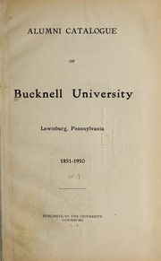
Search results from Open Library.
Recent natural events nearby
Ground air-quality sensors
Recently spotted species
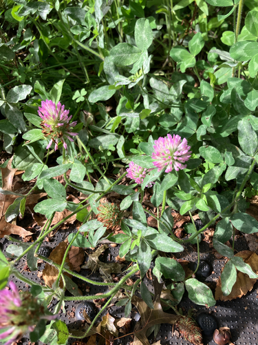

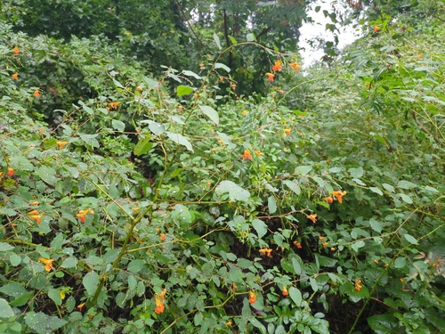

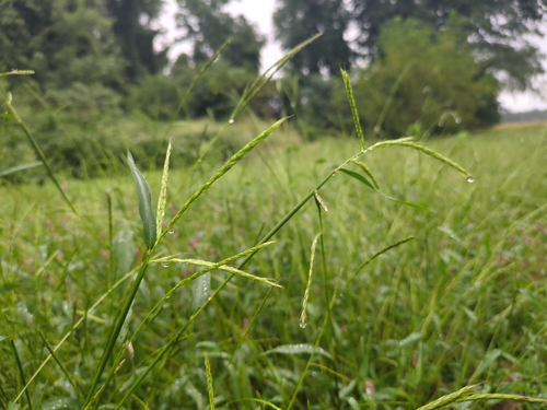


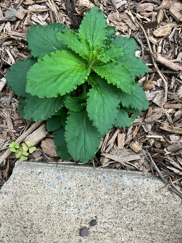

Research-grade observations from iNaturalist (within ~15 mi).
Nearest stream gauge
Events
Gallery
Sources
- • Wikipedia
- • US Census Bureau (ACS 5-year estimates)
- • NOAA National Weather Service
- • Wikidata
- • NCES via Urban Institute Education Data Portal
- • iNaturalist
- • Open-Meteo / sunrise-sunset.org
- • Wikipedia Pageviews API
- • Open Library