Browse / United States / Pennsylvania / Marietta
Marietta
Pennsylvaniaborough

Marietta
Total population
2,886
Median home value
$211,600
Bachelor's+
Median income
$54,167
Founded
1803
Demographic figures from US Census Bureau · ACS 5-year estimates. Overview below cites Wikipedia and may reference a different year.
City facts
Facts from Wikidata (CC0).
Overview
Marietta is a borough in Lancaster County, Pennsylvania, United States. The population was 2,633 at the 2020 census. It is located on the east bank of the Susquehanna River, northwest of Columbia.
Read more on WikipediaHistory & geography
History
In 1727, James Anderson made a lottery that laid out part of present-day Marietta. Later David Cook laid another portion of present-day Marietta. Further development by Jacob Grosh, John Myers, John Peadan, James Mehaffey, Benjamin Long, and James Huffy laid out the rest of present-day Marietta. In 1812, the borough was incorporated, merging all the areas of town except for the western portion of the borough which was extended into Marietta at a later date. For the first few years of existence, the growth of the borough was meager. Then an economic crisis struck the town, not relenting until around 1830. Thereafter, industries such as timber and iron smelting provided many economic opportunities in the borough. The borough's name is an amalgamation of the first names of Mary Cook and Henrietta Anderson, the wives of two first settlers. The Ashley and Bailey Silk Mill, Joseph Bucher House, Chickies Historic District, Linden House, and Marietta Historic District are listed on the National Register of Historic Places.
Geography
Marietta is located in western Lancaster County at (40.057169, -76.555955). It is bordered to the north, east, and west by East Donegal Township, and to the south, across the Susquehanna River, by Hellam Township in York County. According to the U.S. Census Bureau, the borough has a total area of , of which , or 0.93%, are water. Market Street runs the whole length of the town. The east/west divider is Waterford Avenue. Pennsylvania Route 441 passes just north of the borough and forms part of its northeastern border; the highway leads southeast to Columbia and northwest (upriver) to Middletown.
Excerpted from the corresponding Wikipedia article (CC BY-SA).
Demographics & economy
Race & ethnicity
Source: US Census Bureau — American Community Survey, 5-year estimates.
Geography
Coordinates & boundaries from the US Census TIGER/Line shapefiles.
Climate
Current forecast
Forecast for Marietta, PA from NOAA NWS API.
Air quality
Industrial & pollution facilities
Natural hazard risk
Health (adults)
Walkability
Amenities nearby
Wildlife & biodiversity
Most-observed species
- Northern CardinalCardinalis cardinalis (Linnaeus, 1758) · Aves21,806
- American RobinTurdus migratorius Linnaeus, 1766 · Aves18,112
- Carolina WrenThryothorus ludovicianus (Latham, 1790) · Aves17,428
- Mourning DoveZenaida macroura (Linnaeus, 1758) · Aves16,219
- Song SparrowMelospiza melodia (A.Wilson, 1810) · Aves15,281
- Blue JayCyanocitta cristata (Linnaeus, 1758) · Aves15,108
- Carolina ChickadeePoecile carolinensis (Audubon, 1834) · Aves14,610
- American GoldfinchSpinus tristis (Linnaeus, 1758) · Aves13,747
Citizen-science & research observations from the Global Biodiversity Information Facility (GBIF).
Schools
Largest nearby schools
- Hempfield SHSHigh · Landisville · 2,268 students · 16.3:1 ratio
- Elizabethtown Area SHSHigh · Elizabethtown · 1,249 students · 17.3:1 ratio
- Donegal HSHigh · Mount Joy · 930 students · 15.8:1 ratio
- Elizabethtown Area MSMiddle · Elizabethtown · 875 students · 14.6:1 ratio
- Donegal Intermediate SchoolElementary · Marietta · 833 students · 14.9:1 ratio
- Bear Creek SchoolElementary · Elizabethtown · 816 students · 15.4:1 ratio
- Central Manor El SchElementary · Washington Boro · 604 students · 15.9:1 ratio
- Centerville MSMiddle · Lancaster · 602 students · 13.7:1 ratio
Public K–12 schools within ~10 mi from Urban Institute Education Data Portal (NCES Common Core of Data, 2022).
Earthquake history
Most recent
- M 2.6 — 2021-06-252 km SE of Woodlawn, Maryland
- M 2.81 — 2019-09-155 km ESE of East Berlin, Pennsylvania
- M 3.44 — 2019-06-139 km N of Blain, Pennsylvania
- M 2.64 — 2015-01-254 km ESE of Downingtown, Pennsylvania
- M 3.05 — 2010-06-034 km ENE of Franklintown, Pennsylvania
- M 2.76 — 2009-10-254 km ENE of Franklintown, Pennsylvania
Events from the USGS Earthquake Catalog (global) (FDSN Event Web Service).
Photos
Sights & places nearby
Notable people from here


People born within ~10 km, from Wikidata (CC0). Click any name for their Wikipedia article.
Nearby places in Pennsylvania
- East York9 mi away · pop. 9,388
- Millersville11.2 mi away
- Felton13.8 mi away · pop. 453
- Lititz14.7 mi away · pop. 9,619
- Jacobus14.8 mi away · pop. 2,177
- Hummelstown16.7 mi away · pop. 4,527
- Brickerville18.3 mi away · pop. 1,257
- Bird-in-Hand19.2 mi away · pop. 537
- Cleona19.8 mi away · pop. 1,882
- Hebron21.1 mi away · pop. 1,125
- Messiah College23.8 mi away
- East Berlin24.1 mi away · pop. 1,523
Geography & sun
Elevation, sunrise/sunset and daylight from Open-Meteo. Solar climatology from NASA POWER.
Nearby airports
Public attention
Pageview totals from the Wikimedia Pageviews API.
Books about Marietta
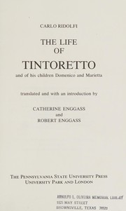
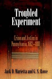

Search results from Open Library.
Recent natural events nearby
Ground air-quality sensors
Recently spotted species
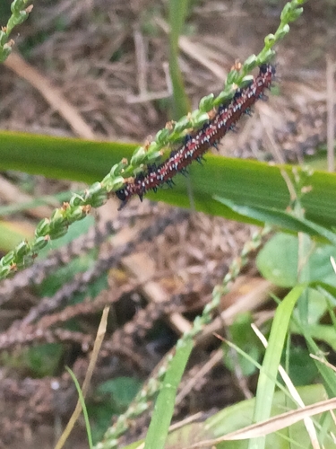
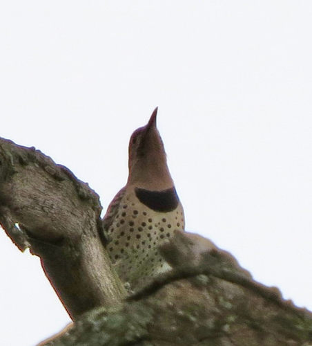
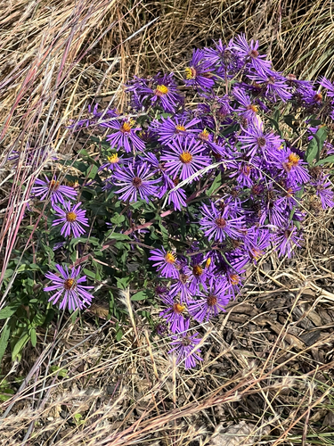

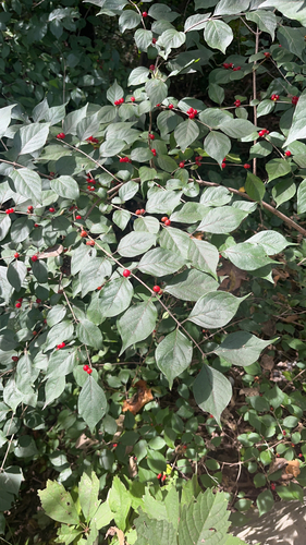
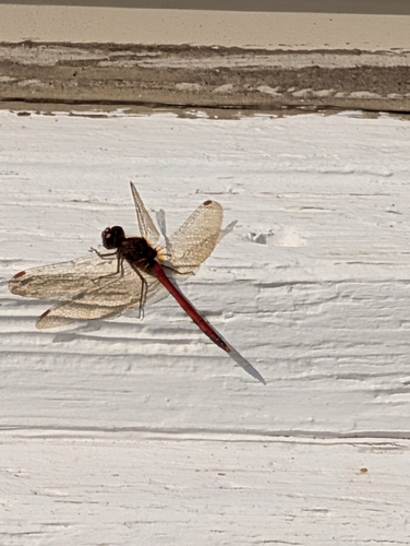
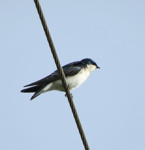
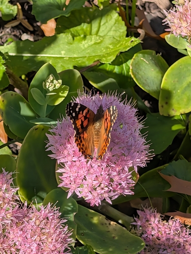
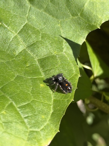
Research-grade observations from iNaturalist (within ~15 mi).
Nearest stream gauge
Live readings from USGS NWIS · measured 2026-10-12 04:15 UTC.
Events
Gallery
Sources
- • Wikipedia
- • US Census Bureau (ACS 5-year estimates)
- • NOAA National Weather Service
- • Wikidata
- • USGS Earthquake Catalog (global feed)
- • USGS NWIS (water data)
- • NCES via Urban Institute Education Data Portal
- • GBIF (Global Biodiversity Information Facility)
- • iNaturalist
- • Open-Meteo / sunrise-sunset.org
- • Wikipedia Pageviews API
- • Open Library