Browse / United States / Pennsylvania / Mercersburg
Mercersburg
Pennsylvaniaborough

Mercersburg
Total population
1,725
Median home value
$210,700
Bachelor's+
Median income
$66,114
Demographic figures from US Census Bureau · ACS 5-year estimates. Overview below cites Wikipedia and may reference a different year.
City facts
Overview
Mercersburg is a borough in Franklin County, Pennsylvania, United States. The borough is 72 miles (116 km) southwest of Harrisburg, the state capital. As of the 2020 census, Mercersburg had a population of 1,507.
Read more on WikipediaHistory & geography
History
The land currently known as Mercersburg was previously territory of the Massawomeck people who were part of the Iroquois Nation. Mercersburg was platted in 1780. The borough was named after Hugh Mercer, a general and hero in the American Revolutionary War. A post office has been in operation at Mercersburg since 1812. Located near the southern border of Pennsylvania, the rural community became a place of refuge during the antebellum years for escaped African Americans who had been enslaved in the South. Some came to the area via the Underground Railroad. After the American Revolution, Pennsylvania had abolished slavery. In this area were communities of free African Americans who had worked in agriculture. It was relatively easy for refugees to join their communities after passing over the border of Maryland. In later years, black folks moved away from here as they were at risk from slavecatchers, especially after passage of the Fugitive Slave Act in 1850, which had more stringent rules against free states. Many African Americans moved to Philadelphia, which had a large and free black community, which helped new arrivals get settled. Philadelphia also provided more job opportunities. In 2010, 6.49% of the population was of African American descent, out of a total of 1,561 persons. The Mercersburg Historic District, Lane House, and Mercersburg Academy are listed on the National Register of Historic Places.
Geography
Mercersburg is located in southwestern Franklin County and has a total area of , all land. Mercersburg is located at the eastern foot of Cove Mountain on the west side of the Great Appalachian Valley. The borough is north of the Mason–Dixon line, which serves as the state border with Maryland. Whitetail Ski Resort and golf course are located south of the town. Pennsylvania state highways 16, 75, and 416 all pass through Mercersburg. PA 16 leads east to Greencastle and to Interstate 81, and northwest through Cove Gap and over Tuscarora Mountain 10 miles to McConnellsburg. PA 75 leads north to Fort Loudon and south to the Maryland border. PA 416 leads northeast to U.S. Route 30 near St. Thomas and southeast to the Maryland border. Hagerstown, Maryland, is to the southeast via PA 416 and Maryland Route 58, while Chambersburg, the Franklin County seat, is to the northeast via PA 416 and US 30.
Excerpted from the corresponding Wikipedia article (CC BY-SA).
Demographics & economy
Race & ethnicity
Source: US Census Bureau — American Community Survey, 5-year estimates.
Geography
Coordinates & boundaries from the US Census TIGER/Line shapefiles.
Climate
Current forecast
Forecast for Mercersburg, PA from NOAA NWS API.
Air quality
Industrial & pollution facilities
Natural hazard risk
Health (adults)
Walkability
Amenities nearby
Wildlife & biodiversity
Most-observed species
- European StarlingSturnus vulgaris Linnaeus, 1758 · Aves10,775
- Mourning DoveZenaida macroura (Linnaeus, 1758) · Aves10,351
- Northern CardinalCardinalis cardinalis (Linnaeus, 1758) · Aves9,470
- American RobinTurdus migratorius Linnaeus, 1766 · Aves9,447
- House SparrowPasser domesticus (Linnaeus, 1758) · Aves7,860
- Blue JayCyanocitta cristata (Linnaeus, 1758) · Aves7,227
- Song SparrowMelospiza melodia (A.Wilson, 1810) · Aves6,986
- Carolina WrenThryothorus ludovicianus (Latham, 1790) · Aves6,166
Citizen-science & research observations from the Global Biodiversity Information Facility (GBIF).
Schools
Earthquake history
Most recent
- M 2.81 — 2019-09-155 km ESE of East Berlin, Pennsylvania
- M 3.44 — 2019-06-139 km N of Blain, Pennsylvania
- M 3.03 — 2016-01-173 km NE of Ranson, West Virginia
- M 3.6 — 2010-07-165 km NNW of Barnesville, Maryland
- M 3.05 — 2010-06-034 km ENE of Franklintown, Pennsylvania
- M 2.76 — 2009-10-254 km ENE of Franklintown, Pennsylvania
Events from the USGS Earthquake Catalog (global) (FDSN Event Web Service).
Photos
Sights & places nearby
Notable people from here
Nearby places in Pennsylvania
- Fort Loudon6.2 mi away
- Greencastle9.8 mi away
- Marion10.9 mi away
- Burnt Cabins17 mi away
- Guilford17.1 mi away · pop. 3,919
- Fayetteville18.7 mi away · pop. 2,593
- Everett27 mi away · pop. 2,052
- Carroll Valley28 mi away
- Hopewell28.4 mi away
- Cashtown29.5 mi away · pop. 346
- McKnightstown30.5 mi away
- Cassville32.5 mi away · pop. 145
Geography & sun
Elevation, sunrise/sunset and daylight from Open-Meteo. Solar climatology from NASA POWER.
Nearby airports
Public attention
Pageview totals from the Wikimedia Pageviews API.
Books about Mercersburg


Search results from Open Library.
Recent natural events nearby
Ground air-quality sensors
Recently spotted species
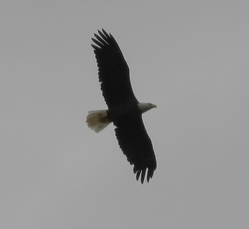
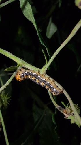
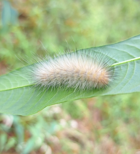
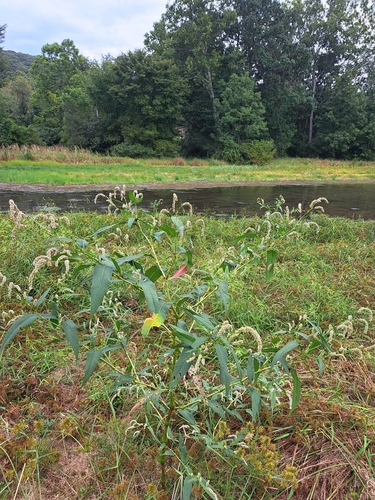
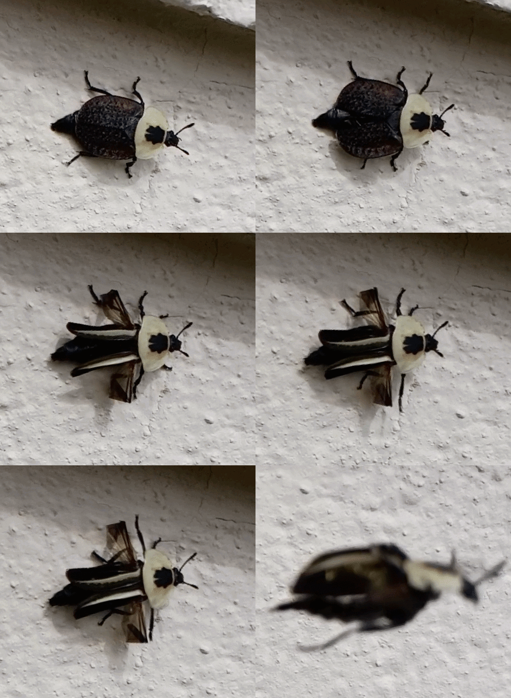
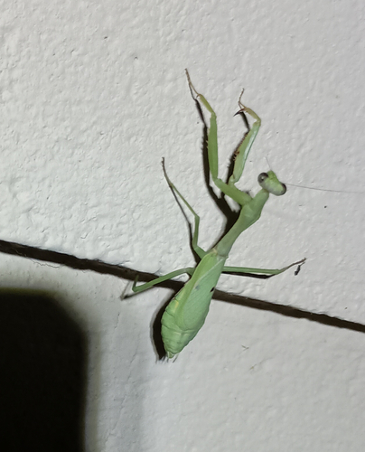


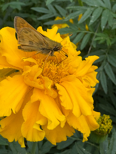
Research-grade observations from iNaturalist (within ~15 mi).
Nearest stream gauge
Events
Gallery
Sources
- • Wikipedia
- • US Census Bureau (ACS 5-year estimates)
- • NOAA National Weather Service
- • USGS Earthquake Catalog (global feed)
- • GBIF (Global Biodiversity Information Facility)
- • iNaturalist
- • Open-Meteo / sunrise-sunset.org
- • Wikipedia Pageviews API
- • Open Library