Browse / United States / Pennsylvania / Millbourne
Millbourne
Pennsylvaniaborough

Millbourne
Total population
1,467
Median home value
$266,700
Bachelor's+
Median income
$54,219
Demographic figures from US Census Bureau · ACS 5-year estimates. Overview below cites Wikipedia and may reference a different year.
City facts
Overview
Millbourne Borough is a self-governing municipal borough in Delaware County, Pennsylvania, United States. As of the 2020 census, the population is 1,212. Millbourne borders Philadelphia along Cobbs Creek. The name "Millbourne" comes from the word Mill and "bourne" meaning creek.
Read more on WikipediaHistory & geography
History
Before the arrival of European settlers, the Lenape people were already in the Delaware Valley. After William Penn's signing of the Treaty of Shackamaxon, Samuel Sellers, the pioneering settler of the Sellers family, came from Derbyshire, England in 1682, with his brother George Sellers. Both brothers purchased two tracts of land totaling and from William Penn. The official survey for the land was not completed until 1690. Over time, Samuel, his sons, and grandsons expanded their land holdings through additional purchases in the surrounding area. George Sellers later died due to an unexplained death involving a tomahawk. Samuel Sellers, the original settler, was a skilled weaver who played a pivotal role in the early industrial development of the region. He is credited with establishing the first twisting-mill in America. Building upon his father's legacy, Samuel's son, also named Samuel, and his grandson, John, continued the family tradition of weaving. The presence of a dam in Millbourne was first documented in an important deed issued by John Sellers on August 27, 1752. John Sellers recognized the potential of harnessing the waterpower of Cobbs Creek, leading to the development of six sites along the waterway. These sites became essential for subsequent generations and contributed to the growth of Millbourne Mills, first called Sellers Mills. During this time, Millbourne was part of Darby Township. But in 1786, Millbourne was separated with other municipalities to form Upper Darby Township. Following John Sellers' passing in 1804, his estate was inherited by his sons, with George receiving the majority of Millbourne. John Sellers II inherited the grist and sawmills, which were already established before 1749. Millbourne Mills were initially operated by James…
Geography
Millbourne is located at (39.963735, -75.252615). Millbourne has a total area of , making it the smallest municipality in Delaware County by area. Millbourne is bounded on the north and east by Cobbs Creek, and on the south by Market Street. Across Cobbs Creek to the north lies an extension of Fairmount Park and the Cobbs Creek Golf Course. Millbourne is situated within the Darby Creek Watershed. A common place of interest, Cobbs Creek is located near Millbourne. The creek is commonly used for swimming and fishing. The creek is also connected to the Cobbs Creek trail which is used for hiking and biking. The Cobbs Creek Bikeway runs from a corner at the eastern end of Millbourne, 63rd and Market Streets, to approximately 86th and Cobbs Creek Parkway. It is used by walkers and bicyclists as well as occasional all-terrain vehicles. Housing construction in Millbourne began in the 1900s. Founders Samuel Shoemaker and John L. Fry identified a real estate opportunity and embarked on the development of homes to meet the growing demand. During this period, 100 multifamily semi-detached homes were built, extending from the east to Sellers Avenue. In the 1950s, new elevated townhomes were introduced and known as "Millbourne Gardens." Around 60% of Millbourne's population resides within this residential area. Millbourne features a diverse range of architectural styles, with 14 different styles represented among its homes. The residential area of Millbourne is in a secluded location. In Millbourne, the predominant materials used in the construction of homes were bricks and hardwood. These materials were favored due to their aesthetic appeal. On the Köppen climate classification, Millbourne has a Humid subtropical climate (Cfa). Millbourne has warm-wet summers and very…
Excerpted from the corresponding Wikipedia article (CC BY-SA).
Demographics & economy
Race & ethnicity
Source: US Census Bureau — American Community Survey, 5-year estimates.
Geography
Coordinates & boundaries from the US Census TIGER/Line shapefiles.
Climate
Current forecast
Forecast for Millbourne, PA from NOAA NWS API.
Air quality
Industrial & pollution facilities
Natural hazard risk
Health (adults)
Walkability
Amenities nearby
Wildlife & biodiversity
Most-observed species
- American RobinTurdus migratorius Linnaeus, 1766 · Aves119,208
- Northern CardinalCardinalis cardinalis (Linnaeus, 1758) · Aves117,025
- Song SparrowMelospiza melodia (A.Wilson, 1810) · Aves95,324
- Mourning DoveZenaida macroura (Linnaeus, 1758) · Aves90,131
- Blue JayCyanocitta cristata (Linnaeus, 1758) · Aves84,895
- Carolina WrenThryothorus ludovicianus (Latham, 1790) · Aves84,183
- Red-bellied WoodpeckerMelanerpes carolinus (Linnaeus, 1758) · Aves74,139
- Downy WoodpeckerDryobates pubescens (Linnaeus, 1766) · Aves72,423
Citizen-science & research observations from the Global Biodiversity Information Facility (GBIF).
Schools
Largest nearby schools
- Chester Community CSElementary · Chester · 4,276 students · 18.3:1 ratio
- Upper Darby SHSHigh · Drexel Hill · 4,191 students · 18.9:1 ratio
- Haverford SHSHigh · Havertown · 2,005 students · 17.9:1 ratio
- Ridley HSHigh · Folsom · 1,869 students · 14.5:1 ratio
- Haverford MSMiddle · Havertown · 1,626 students · 14.4:1 ratio
- Beverly Hills MSMiddle · Upper Darby · 1,523 students · 15.9:1 ratio
- Springfield HSHigh · Springfield · 1,375 students · 16.8:1 ratio
- Academy Park HSHigh · Sharon Hill · 1,355 students · 18.6:1 ratio
Public K–12 schools within ~10 mi from Urban Institute Education Data Portal (NCES Common Core of Data, 2022).
Earthquake history
Most recent
- M 2.9 — 2024-05-246 km E of Califon, New Jersey
- M 2.6 — 2024-05-011 km NW of Gladstone, New Jersey
- M 2.9 — 2024-04-277 km WSW of Gladstone, New Jersey
- M 2.6 — 2024-04-105 km WSW of Gladstone, New Jersey
- M 3.7 — 2024-04-057 km WSW of Gladstone, New Jersey
- M 2.6 — 2024-04-056 km ESE of Califon, New Jersey
Events from the USGS Earthquake Catalog (global) (FDSN Event Web Service).
Photos
Sights & places nearby
Notable people from here
Nearby places in Pennsylvania
- East Lansdowne1.4 mi away
- Haverford College4.3 mi away
- Glenolden4.9 mi away
- Bryn Mawr5.2 mi away · pop. 5,880
- Broomall5.4 mi away · pop. 10,679
- Folsom6.4 mi away · pop. 8,671
- Flourtown10.1 mi away
- Elkins Park10.3 mi away
- King of Prussia11.3 mi away
- Fort Washington12.6 mi away
- Linwood13.2 mi away · pop. 3,921
- Ambler13.4 mi away · pop. 6,847
Geography & sun
Elevation, sunrise/sunset and daylight from Open-Meteo. Solar climatology from NASA POWER.
Nearby airports
Public attention
Pageview totals from the Wikimedia Pageviews API.
Books about Millbourne
Search results from Open Library.
Recent natural events nearby
Ground air-quality sensors
Recently spotted species
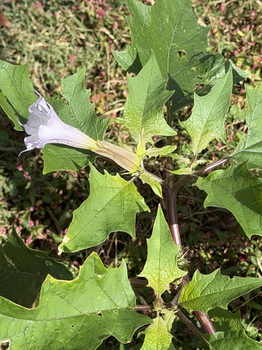
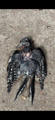

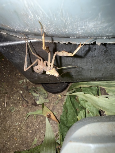
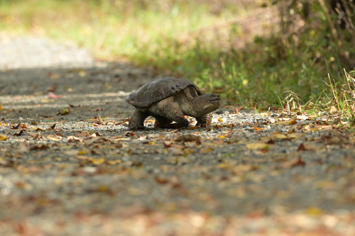
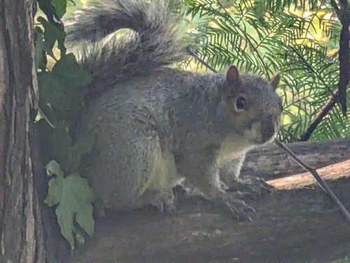
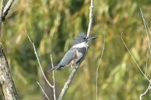
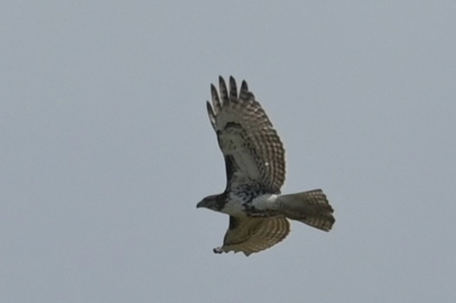
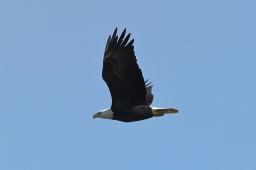
Research-grade observations from iNaturalist (within ~15 mi).
Nearest stream gauge
Live readings from USGS NWIS · measured 2026-10-12 12:30 UTC.
Events
Gallery
Sources
- • Wikipedia
- • US Census Bureau (ACS 5-year estimates)
- • NOAA National Weather Service
- • USGS Earthquake Catalog (global feed)
- • USGS NWIS (water data)
- • NCES via Urban Institute Education Data Portal
- • GBIF (Global Biodiversity Information Facility)
- • iNaturalist
- • Open-Meteo / sunrise-sunset.org
- • Wikipedia Pageviews API
- • Open Library