Browse / United States / Pennsylvania / York
York
Pennsylvaniacity

York
Total population
44,938
Median home value
$119,700
Bachelor's+
Median income
$48,420
Air quality index
Demographic figures from US Census Bureau · ACS 5-year estimates. Overview below cites Wikipedia and may reference a different year.
- Freeze Watch · SevereFreeze Watch issued October 16 at 9:09PM EDT until October 18 at 9:00AM EDT by NWS State College PA
Source: NOAA National Weather Service.
City facts
Overview
York is a city in York County, Pennsylvania, United States, and its county seat. Located in South Central Pennsylvania, the city's population was 44,800 at the time of the 2020 census, making it the tenth-most populous city in Pennsylvania. The city has an urban area population of 238,549 and has a metropolitan area population of 456,449.
Read more on WikipediaHistory & geography
History
York was also known as Yorktown in the mid-18th to early 19th centuries. It was founded in 1741 by settlers from the Philadelphia region and named for the English city of the same name. By 1777, most of the area residents were of German or Scots-Irish descent. It was incorporated as a borough on September 24, 1787, and as a city on January 11, 1887. York served as the temporary base for the Continental Congress from September 30, 1777, to June 27, 1778, during the American Revolutionary War (1775–1783). Congress drafted and adopted the Articles of Confederation in York, though they were not ratified until March 1781. Congress met at the Court House that was built in 1754. It was demolished in 1841 and rebuilt in 1976 as Colonial Court House. York styles itself the first Capital of the United States, although historians generally consider it to be the fourth capital, after Philadelphia, Baltimore, and Lancaster (for one day). The claim arises from the assertion that the Articles of Confederation was the first legal document to refer to the colonies as "the United States of America". The argument depends on whether the Declaration of Independence would be considered a true legal document of the United States, being drafted under and in opposition to British rule. This does not, however, prevent local businesses and organizations in the York area from using the name, such as First Capital Engineering, First Capital EMS, and First Capital Federal Credit Union. The Conway Cabal was a political intrigue against General George Washington that originated in the Golden Plough Tavern in York. According to U.S. census reports from 1800 through 1840, York ranked within the nation's top one hundred most populous urban areas. During the American Civil War (1861–1865), York…
Geography
According to the United States Census Bureau, the city has a total area of , of which is land and (1.14%) is water. York has a humid continental climate (Dfa) with hot, humid summers and moderately cold winters. The mean annual precipitation total of is fairly evenly spread throughout the year, and falls on an average of 126.6 days per annum. Record temperatures from the York COOP range from , set on July 2, 1901, down to , recorded on January 28, 1925, and January 21, 1994; at York Airport, with a considerably shorter period of record, the range is , set on July 22, 2011, down to as recently as March 6–7, 2015. The York COOP also holds the official statewide 24-hour precipitation record of set on June 22, 1972, due to the impact of Hurricane Agnes.
Excerpted from the corresponding Wikipedia article (CC BY-SA).
Demographics & economy
Race & ethnicity
Source: US Census Bureau — American Community Survey, 5-year estimates.
Geography
Coordinates & boundaries from the US Census TIGER/Line shapefiles.
Climate
Current forecast
Forecast for York, PA from NOAA NWS API.
Air quality
Current readings from Open-Meteo Air Quality API (Copernicus CAMS European reanalysis).
Industrial & pollution facilities
Natural hazard risk
Health (adults)
Walkability
Amenities nearby
Wildlife & biodiversity
Most-observed species
- Northern CardinalCardinalis cardinalis (Linnaeus, 1758) · Aves15,527
- American RobinTurdus migratorius Linnaeus, 1766 · Aves12,009
- Mourning DoveZenaida macroura (Linnaeus, 1758) · Aves11,566
- Carolina WrenThryothorus ludovicianus (Latham, 1790) · Aves11,456
- Carolina ChickadeePoecile carolinensis (Audubon, 1834) · Aves10,217
- Red-bellied WoodpeckerMelanerpes carolinus (Linnaeus, 1758) · Aves10,152
- Blue JayCyanocitta cristata (Linnaeus, 1758) · Aves10,112
- Tufted TitmouseBaeolophus bicolor (Linnaeus, 1766) · Aves9,493
Citizen-science & research observations from the Global Biodiversity Information Facility (GBIF).
Schools
Largest nearby schools
- Dallastown Area SHSHigh · Dallastown · 2,014 students · 17.7:1 ratio
- Central York HSHigh · York · 1,807 students · 15.9:1 ratio
- York Co School of TechnologyHigh · York · 1,620 students · 14.6:1 ratio
- William Penn SHSHigh · York · 1,534 students · 16:1 ratio
- Dallastown Area Intermediate SchMiddle · York · 1,484 students · 15.8:1 ratio
- Red Lion Area SHSHigh · Red Lion · 1,432 students · 14.6:1 ratio
- Northeastern SHSHigh · Manchester · 1,175 students · 16.1:1 ratio
- Spring Grove Area HSHigh · Spring Grove · 1,166 students · 14.9:1 ratio
Public K–12 schools within ~10 mi from Urban Institute Education Data Portal (NCES Common Core of Data, 2022).
Earthquake history
Most recent
- M 2.5 — 2025-10-274 km E of Riverside, Maryland
- M 2.6 — 2021-06-252 km SE of Woodlawn, Maryland
- M 2.81 — 2019-09-155 km ESE of East Berlin, Pennsylvania
- M 3.44 — 2019-06-139 km N of Blain, Pennsylvania
- M 2.64 — 2015-01-254 km ESE of Downingtown, Pennsylvania
- M 3.6 — 2010-07-165 km NNW of Barnesville, Maryland
Events from the USGS Earthquake Catalog (global) (FDSN Event Web Service).
Photos
Sights & places nearby
Notable people from here


People born within ~10 km, from Wikidata (CC0). Click any name for their Wikipedia article.
Nearby places in Pennsylvania
- East York3 mi away · pop. 9,388
- Jacobus5.8 mi away · pop. 2,177
- Felton11.7 mi away · pop. 453
- East Berlin13.3 mi away · pop. 1,523
- Hampton17.1 mi away · pop. 1,404
- Messiah College18.8 mi away
- Millersville20.3 mi away
- Hummelstown20.8 mi away · pop. 4,527
- Hunterstown23.1 mi away · pop. 137
- Bonneauville23.9 mi away
- Littlestown24.1 mi away
- Boiling Springs25.4 mi away
Geography & sun
Elevation, sunrise/sunset and daylight from Open-Meteo. Solar climatology from NASA POWER.
Nearby airports
Public attention
Pageview totals from the Wikimedia Pageviews API.
Books about York


Search results from Open Library.
Recent natural events nearby
Ground air-quality sensors
Recently spotted species
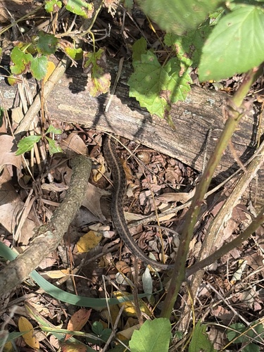
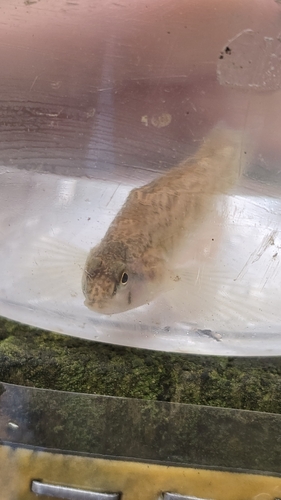
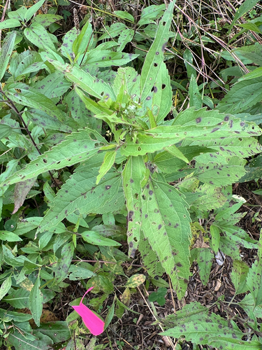
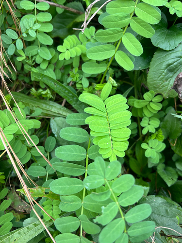
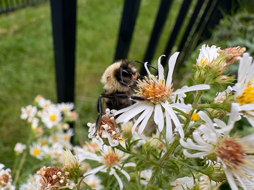
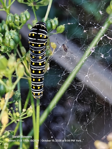
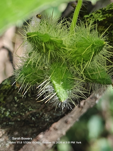
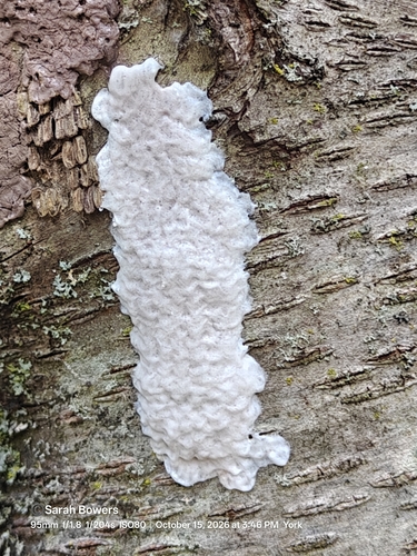
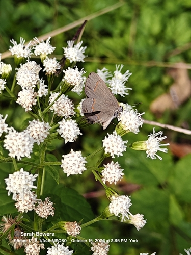
Research-grade observations from iNaturalist (within ~15 mi).
Nearest stream gauge
Live readings from USGS NWIS · measured 2026-10-17 00:00 UTC.
Events
Gallery
Sources
- • Wikipedia
- • US Census Bureau (ACS 5-year estimates)
- • NOAA National Weather Service
- • Wikidata
- • Open-Meteo Air Quality (CAMS)
- • USGS Earthquake Catalog (global feed)
- • USGS NWIS (water data)
- • NCES via Urban Institute Education Data Portal
- • GBIF (Global Biodiversity Information Facility)
- • iNaturalist
- • Open-Elevation
- • Open-Meteo / sunrise-sunset.org
- • Wikipedia Pageviews API
- • Open Library