Browse / Peru / Áncash / Mancos
Mancos
Áncashvillage
Air quality index
Demographic figures from INEI Peru. Overview below cites Wikipedia and may reference a different year.
City facts
Overview
Mancos, a village in Áncash, Peru, forms part of the country's settled landscape. Mancos maps to -9.190°, -77.712° — squarely within the equatorial belt. Up-to-date population figures for this locality are not available in the open datasets we monitor. Climatically, locations at this latitude tend to experience hot and humid year-round with little seasonal temperature variation. Long-term weather observations show average highs near 75.1°F and lows near 55.1°F with about 19.7 in of annual precipitation (a relatively dry total). The location receives about 1,885 kWh/m² of solar irradiance per year and sunshine for roughly 74% of daylight hours. Read on for charts and tables covering demographics, climate, hazards, schools, wildlife and other open-data indicators for Mancos.
Summary composed automatically from structured open data on this page. See our Terms for details.
History & geography
Geography
Coordinates & boundaries from the US Census TIGER/Line shapefiles.
Climate
10-year averages from ERA5 reanalysis (Open-Meteo).
Air quality
Current readings from Open-Meteo Air Quality API (Copernicus CAMS European reanalysis).
Walkability
Amenities nearby
Wildlife & biodiversity
Most-observed species
- Rufous-collared SparrowZonotrichia capensis (P.L.S.Müller, 1776) · Aves406
- Chiguanco ThrushTurdus chiguanco Orbigny & Lafresnaye, 1837 · Aves362
- Buff-winged CinclodesCinclodes fuscus (Vieillot, 1818) · Aves341
- Southern House-WrenTroglodytes musculus J.F.Naumann, 1823 · Aves292
- Tit-like DacnisXenodacnis parina Cabanis, 1873 · Aves252
- Black MetaltailMetallura phoebe (R.Lesson & Delattre, 1839) · Aves239
- Peruvian Sierra-FinchPhrygilus punensis Ridgway, 1887 · Aves236
- Rusty-crowned Tit-SpinetailLeptasthenura pileata P.L.Sclater, 1881 · Aves207
Citizen-science & research observations from the Global Biodiversity Information Facility (GBIF).
Earthquake history
Most recent
- M 4.6 — 2023-02-2322 km SW of Quiches, Peru
- M 4.2 — 2018-08-2731 km SSE of Puerto Casma, Peru
- M 4.5 — 2017-09-0423 km NE of Puerto Santa, Peru
- M 3.8 — 2016-01-0428 km W of Huanchay, Peru
- M 5.7 — 2010-01-0316 km E of Huallanca, Peru
- M 4.2 — 2006-02-2015 km SE of Chimbote, Peru
Events from the USGS Earthquake Catalog (global) (FDSN Event Web Service).
Photos
Sights & places nearby
Notable people from here


People born within ~10 km, from Wikidata (CC0). Click any name for their Wikipedia article.
Nearby places in Áncash
Geography & sun
Elevation, sunrise/sunset and daylight from Open-Meteo. Solar climatology from NASA POWER.
Nearby airports
Public attention
Books about this place
Recent natural events nearby
Ground air-quality sensors
Recently spotted species
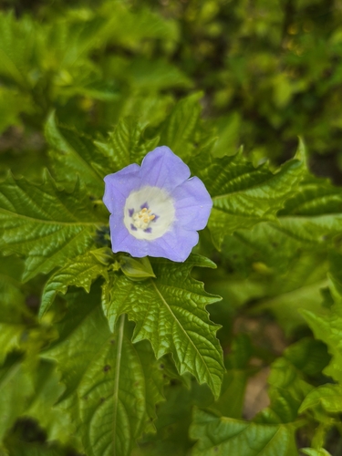
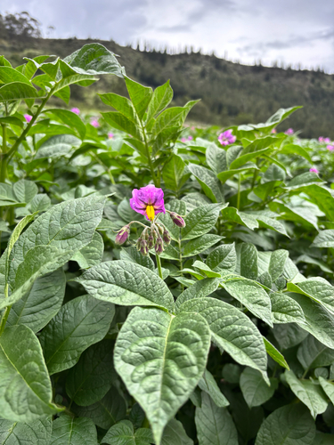
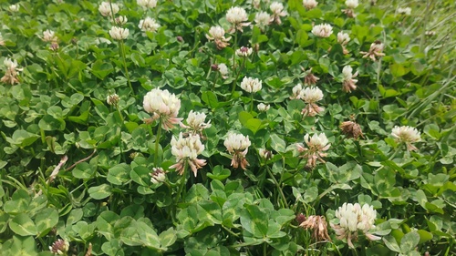
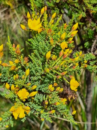
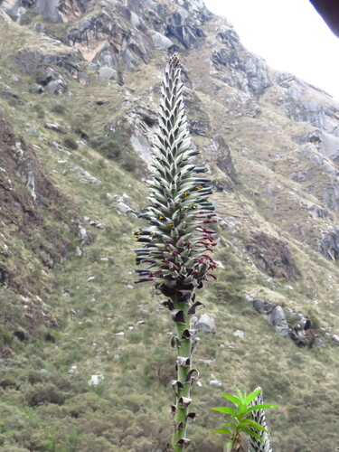
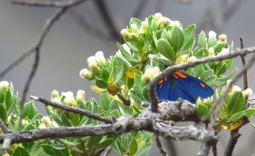
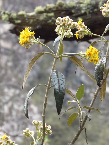
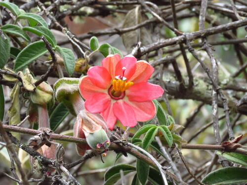
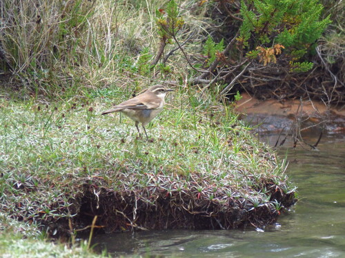
Research-grade observations from iNaturalist (within ~15 mi).
Events
Gallery
Geotagged photos within ~6 miles of Mancos, from Wikimedia Commons contributors.
 0.7 mi
 1.7 mi
 1.7 mi
 2.1 mi
 2.2 mi
.jpg) 3.1 mi
3.1 mi 3.1 mi
 3.2 mi
 3.2 mi
.jpg) 3.2 mi
3.2 mi.jpg) 3.2 mi
3.2 mi 3.2 mi
 3.3 mi
 3.7 mi
 3.7 mi
 3.7 mi
 4.4 mi
 4.4 mi
 4.4 mi
 4.4 mi
 4.4 mi
 5.8 mi
 6 mi
6 mi 6 mi
6 miPhotos via Wikimedia Commons — see each image page for license & attribution.
Sources
- • Open-Meteo (ERA5 reanalysis)
- • Wikimedia Commons
- • Wikidata
- • Open-Meteo Air Quality (CAMS)
- • USGS Earthquake Catalog (global feed)
- • GBIF (Global Biodiversity Information Facility)
- • iNaturalist
- • Open-Elevation
- • Open-Meteo / sunrise-sunset.org