Browse / Philippines / Davao / Davao City
Davao City
Davaocity

Davao City
Total population
1,848,947
Founded
1848
Air quality index
Demographic figures from Philippine Statistics Authority. Overview below cites Wikipedia and may reference a different year.
City facts
Sister cities
Facts from Wikidata (CC0).
Overview
Davao City, officially the City of Davao, is a highly urbanized city in the Davao Region, Philippines. The city has a total land area of 2,443.61 km2 (943.48 sq mi), making it the largest city in the Philippines in terms of land area. It is the third-most-populous city in the Philippines after Quezon City and Manila, respectively, and the most populous city in Mindanao, in Davao Region, and outside of Metro Manila. According to the 2024 census, it has a population of 1,848,947 people.
Read more on WikipediaHistory & geography
History
The area of what is now Davao City was once a lush forest inhabited by Lumadic peoples such as the Bagobos and Matigsalugs, alongside other ethnic groups such as the Aeta, Maguindanaon and the Kagan. Davao River was then called Tagloc River by the Bagobos, Maguindanaons and Tausugs who then inhabited a settlement near the mouth of the river to the sea around what is now Bolton Riverside due immediately southwest of the city plaza. In 1543, Spanish explorers led by Ruy Lopez de Villalobos sailing around Mindanao deliberately avoided the area around Davao Gulf, then called Gulf of Tagloc, due to the danger posed by fleets of Moro warships operating in the area while surveying the southeastern coast of Mindanao for possible colonization, and as a result the Davao Gulf area remained virtually untouched by European explorers for the next three centuries. A Maguindanaon Datu under the name Datu Bago was rewarded the territory of the surroundings of Davao Gulf by the Sultan of Maguindanao Sultanate for joining the campaign against the Spanish in the late 1700s. From his ancestral home in Maguindanao, he moved to the area in 1800 and, having convinced Bagobos and other native groups in the area to his side, conquered the entire Davao Gulf area. Having consolidated his position, he founded the fortress of Pinagurasan in what is now the site of Bangkerohan Public Market in 1830 which served as his capital. From being a fortification and base of operations from which Datu Bago could gather and rally his forces, the settlement of Pinagurasan eventually grew into a small city extending from present-day Generoso Bridge in Bangkerohan to Quezon Boulevard more than a kilometer down south, Being the strongest chieftain in the region, Datu Bago imposed heavy tribute on the Mandaya…
Geography
Davao City is approximately southeast of Manila over land, and by sea. The city is located in southeastern Mindanao, on the northwestern shore of Davao Gulf, opposite Samal Island. Mount Apo and Mount Talomo can be seen from here. Davao City politically subdivided into 11 districts and 182 barangays. Each barangay consists of puroks while some have sitios. Davao City's land, totaling about , is hilly in the west (the Marilog district) and slopes down to the southeastern shore. Mount Apo, the highest peak in the Philippines, is located at the city's southwestern tip. Mount Apo National Park (the mountain and its surrounding vicinity), was inaugurated by President Manuel L. Quezon (in Proclamation 59 of May 8, 1936) to protect the flora and fauna of the surrounding mountain range. The Davao River is the city's primary drainage channel. Draining an area of over , the river begins in the town of San Fernando, Bukidnon. The mouth of the river is located at Barangay Bucana at Talomo District. Davao has a tropical rainforest climate (Köppen climate classification Af), with little seasonal variation in temperature. The areological mechanism of the Intertropical Convergence Zone occurs more often than that of the trade winds and because it experiences rare cyclones the climate is not purely equatorial but subequatorial. Average monthly temperatures are always above , and average monthly rainfall is above . This gives the city a tropical climate, without a true dry season; while there is significant rainfall in winter, the largest rainfall occurs during the summer months (see climate chart, below). Mount Apo is home to many bird species, 111 of which are endemic to the area. It is also home to one of the world's largest eagles, the critically endangered Philippine eagle,…
Excerpted from the corresponding Wikipedia article (CC BY-SA).
Geography
Coordinates & boundaries from the US Census TIGER/Line shapefiles.
Climate
10-year averages from ERA5 reanalysis (Open-Meteo).
Air quality
Current readings from Open-Meteo Air Quality API (Copernicus CAMS European reanalysis).
Walkability
Amenities nearby
Wildlife & biodiversity
Most-observed species
- Yellow-vented BulbulPycnonotus goiavier (Scopoli, 1786) · Aves453
- Eurasian Tree SparrowPasser montanus (Linnaeus, 1758) · Aves449
- Zebra DoveGeopelia striata (Linnaeus, 1766) · Aves420
- Asian Glossy StarlingAplonis panayensis (Scopoli, 1786) · Aves412
- Collared KingfisherTodiramphus chloris (Boddaert, 1783) · Aves380
- Olive-backed SunbirdCinnyris jugularis (Linnaeus, 1766) · Aves365
- Ridgetop SwiftletCollocalia isonota Oberholser, 1906 · Aves331
- Philippine Pied-FantailRhipidura nigritorquis Vigors, 1831 · Aves324
Citizen-science & research observations from the Global Biodiversity Information Facility (GBIF).
Earthquake history
Most recent
- M 5.1 — 2026-08-1322 km ENE of Lapuan, Philippines
- M 4.7 — 2026-07-1114 km SW of Batiano, Philippines
- M 4.6 — 2026-06-016 km SE of Mati, Philippines
- M 4.4 — 2026-04-1819 km WSW of Luzon, Philippines
- M 4.7 — 2026-04-0928 km SW of Surup, Philippines
- M 4.5 — 2026-04-075 km SW of Pangian, Philippines
Events from the USGS Earthquake Catalog (global) (FDSN Event Web Service).
Photos
Sights & places nearby
Notable people from here


People born within ~10 km, from Wikidata (CC0). Click any name for their Wikipedia article.
Nearby places in Davao
- Kampung Seberang Marang1543.6 mi away
- قرى وادي أشحط5686.4 mi away
- Kuhmoinen6128.8 mi away · pop. 2,159
- Pöytäniemi6155 mi away
- Vettenmaa6177.9 mi away
- Letnitsa6408.2 mi away
- Gorsko Slivovo6408.9 mi away
- Krushuna6410 mi away
- Karpachevo6411.7 mi away
- Chavdartsi6411.9 mi away
- Aleksandrovo6414.2 mi away · pop. 1,811
- Brestovo6417 mi away
Geography & sun
Elevation, sunrise/sunset and daylight from Open-Meteo. Solar climatology from NASA POWER.
Nearby airports
Public attention
Pageview totals from the Wikimedia Pageviews API.
Books about this place
Recent natural events nearby
Ground air-quality sensors
Recently spotted species
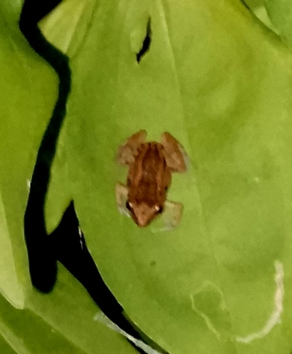
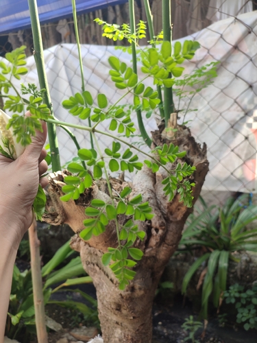

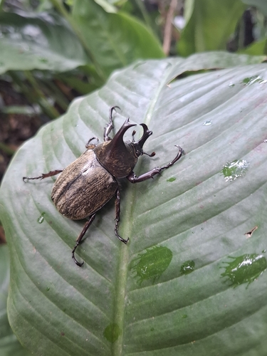

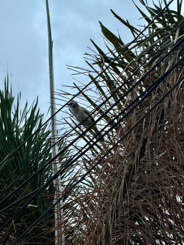
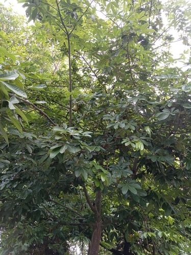

Research-grade observations from iNaturalist (within ~15 mi).
Events
Gallery
Geotagged photos within ~6 miles of Davao City, from Wikimedia Commons contributors.
 0 mi
0 mi 0 mi
0 mi 0 mi
0 mi 0 mi
0 mi 0 mi
0 mi 0.1 mi
 0.1 mi
 0.1 mi
 0.1 mi
 0.1 mi
 0.1 mi
 0.1 mi
.jpg) 0.1 mi
0.1 mi 0.1 mi
 0.1 mi
 0.1 mi
 0.1 mi
 0.1 mi
 0.2 mi
.jpg) 0.2 mi
0.2 mi 0.2 mi
 0.2 mi
.jpg) 0.3 mi
0.3 mi.jpg) 0.3 mi
0.3 miPhotos via Wikimedia Commons — see each image page for license & attribution.
Sources
- • Wikipedia
- • Open-Meteo (ERA5 reanalysis)
- • Wikimedia Commons
- • Wikidata
- • Open-Meteo Air Quality (CAMS)
- • USGS Earthquake Catalog (global feed)
- • GBIF (Global Biodiversity Information Facility)
- • iNaturalist
- • Open-Elevation
- • Open-Meteo / sunrise-sunset.org
- • Wikipedia Pageviews API
- • Wikidata SPARQL (CC0) — population, area, elevation, inception, head of government, Commons image