Browse / Pakistan / Punjab / Faisalabad
Faisalabad
Punjabcity

Faisalabad
Total population
3,203,846
Founded
1892
Air quality index
Demographic figures from Pakistan Bureau of Statistics. Overview below cites Wikipedia and may reference a different year.
City facts
Sister cities
Facts from Wikidata (CC0).
Overview
Faisalabad, formerly known as Lyallpur, is the second-largest city and primary industrial center of the Pakistani province of Punjab. Located in the Rachna Doab of the central Punjab, it is the third-most populous city in Pakistan. Established in 1890s as a planned city, the population of the city increased six times in the decade following the partition of British India as hundreds of thousands of East Punjabi Muslim immigrants settled the city.
Read more on WikipediaHistory & geography
History
The region encompassing modern-day Faisalabad district was originally inhabited by a number of forest-dwelling tribes. The main architecture of the city was designed by architect Ganga Ram. In the 1880s, the Punjab government began an irrigation scheme to cultivate large tracts of western Punjab through the creation of canal colonies. The Chenab colony was the largest of these colonisation projects, and covered the entirety of the Lyallpur District. Popham Young, the colonisation officer, managing the project, identified the site of the current city to establish headquarters for the colony. The centre of the city was built in a way to replicate the design in the Union Jack with eight roads extending from a large clock tower at its epicentre; a design geometrically symbolic of the Cross of Saint Andrew counter changed with the Cross of Saint Patrick, and Saint George's Cross over all. The eight roads developed into eight separate bazaars (markets) leading to different regions of the Punjab. In 1896, the newly constructed town with its growing agricultural surplus was added to the British rail network. Construction of the rail link between Wazirabad and Lyallpur was completed in 1895. In 1896, Gujranwala, Jhang and Montgomery comprising the tehsils of Lyallpur were under the administrative control of the Jhang District in Multan Division. The town became one of the first planned settlements within British India. In 1904, the new district of Lyallpur was created in Multan Division to include the three tehsils; Lyallpur, Samundri and Toba Tek Singh. A sub-tehsil at Jaranwala later became a full tehsil in itself. The University of Agriculture, originally the Punjab Agricultural College and Research Institute, Lyallpur, was established in 1906. By 1911, the city had a…
Geography
Faisalabad lies in the rolling flat plains of northeast Punjab, at above sea level. The city proper comprises approximately while the district encompasses more than . The Chenab River flows about , and the Ravi River meanders to the southeast. The lower Chenab canal provides water to 80% of cultivated lands making it the main source of irrigation. Faisalabad is bound on the north by Chiniot and Sheikhupura, on the east by Sheikhupura and Sahiwal, on the south by Sahiwal and Toba Tek Singh and on the west by Jhang. Faisalabad overlaps between a semi-arid climate and a humid subtropical climate. The weather in the city is monitored by the Pakistan Meteorological Department. The Pakistan Meteorological Department regularly provides forecasts, public warnings and rainfall information to farmers with the assistance of the National Agromet Centre. Average annual rainfall is approximately . It is at its peak in July, August and September during the monsoon season though western disturbances during winter months also bring considerable rainfall associated with hail. Monsoon season which starts in July and ends in September brings heavy rain to the city causing flash flooding. If the monsoon currents interact with the western disturbance, then cloudburst can also occur. July is the wettest month of the year during which flooding is reported a number of times. Monsoon ends in September and then the dry period begins. October and November are the driest months with very little rainfall. During winter the weather usually remains cloudy associated with frequent fog. Record-breaking rainfall of was recorded on 5 September 1961 by the Pakistan Meteorological Department. The temperature of the city has reached a summer maximum record temperature of 48.0 °C (118.4 °F),…
Excerpted from the corresponding Wikipedia article (CC BY-SA).
Geography
Coordinates & boundaries from the US Census TIGER/Line shapefiles.
Climate
Air quality
Current readings from Open-Meteo Air Quality API (Copernicus CAMS European reanalysis).
Walkability
Amenities nearby
Wildlife & biodiversity
Most-observed species
- Field BindweedConvolvulus arvensis L. · Magnoliopsida3
- Bermuda-grassCynodon dactylon (L.) Pers. · Liliopsida3
- Arabian paper waspPolistes wattii Cameron, 1900 · Insecta2
- African Caper WhiteBelenois aurota (Fabricius, 1793) · Insecta2
- House CrowCorvus splendens Vieillot, 1817 · Aves2
- Indian BanyanFicus benghalensis L. · Magnoliopsida2
- Common ChickweedStellaria media (L.) Vill. · Magnoliopsida2
- Nettle-leaved GoosefootChenopodiastrum murale (L.) S.Fuentes, Uotila & Borsch · Magnoliopsida2
Citizen-science & research observations from the Global Biodiversity Information Facility (GBIF).
Earthquake history
Most recent
- M 4.2 — 2023-01-041 km SSW of Shekhupura, Pakistan
- M 4.4 — 2022-11-1313 km SSE of Chiniot, Pakistan
- M 3.4 — 2021-09-097 km W of Sahiwal, Pakistan
- M 3.9 — 2018-09-0110 km NNW of Kot Radha Kishan, Pakistan
- M 4.5 — 2017-01-0812 km WSW of Jahanian Shah, Pakistan
- M 4.3 — 2014-03-202 km NNW of Chak Five Hundred Seventy-five, Pakistan
Events from the USGS Earthquake Catalog (global) (FDSN Event Web Service).
Photos
Sights & places nearby
Notable people from here


People born within ~10 km, from Wikidata (CC0). Click any name for their Wikipedia article.
Nearby places in Punjab
- Baía da Traição7520.8 mi away · pop. 9,224
- Aldeia Acajutibiro7521.1 mi away
- Aldeia Forte7521.1 mi away
- Aldeia do Galego7521.4 mi away
- Aldeia São Francisco7521.9 mi away
- Tapuio7522.7 mi away
- Camurupim7523 mi away
- Barra do Mamanguape7523 mi away
- Lagoa de Praia7523.5 mi away
- Aldeia Laranjeira7523.7 mi away
- Praia de Campina7523.9 mi away
- Lucena7524.3 mi away · pop. 12,560
Geography & sun
Elevation, sunrise/sunset and daylight from Open-Meteo. Solar climatology from NASA POWER.
Nearby airports
Public attention
Pageview totals from the Wikimedia Pageviews API.
Books about Faisalabad
Search results from Open Library.
Recent natural events nearby
Ground air-quality sensors
Recently spotted species
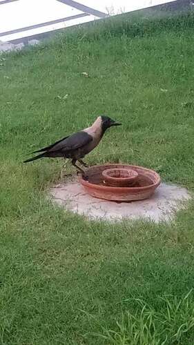
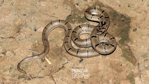
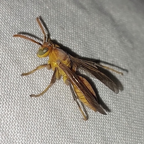
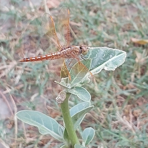
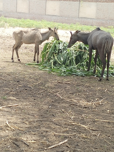
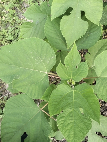
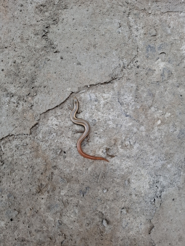
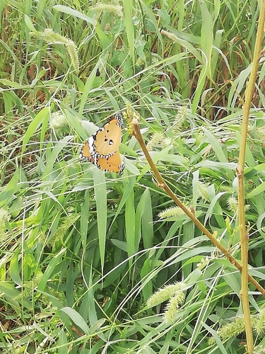
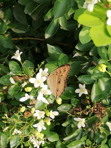
Research-grade observations from iNaturalist (within ~15 mi).
Events
Gallery
Geotagged photos within ~6 miles of Faisalabad, from Wikimedia Commons contributors.
 0 mi
0 mi 0.5 mi
 0.8 mi
 0.8 mi
 0.8 mi
 0.9 mi
.jpg) 0.9 mi
0.9 mi.jpg) 0.9 mi
0.9 mi 0.9 mi
 0.9 mi
 1 mi
1 mi 1.2 mi
 1.4 mi
 1.5 mi
 1.5 mi
 1.5 mi
.jpg) 1.5 mi
1.5 mi 1.6 mi
 1.6 mi
 1.6 mi
 1.7 mi
 1.7 mi
 1.8 mi
 1.8 mi
Photos via Wikimedia Commons — see each image page for license & attribution.
Sources
- • Wikipedia
- • Wikimedia Commons
- • Wikidata
- • Open-Meteo Air Quality (CAMS)
- • USGS Earthquake Catalog (global feed)
- • GBIF (Global Biodiversity Information Facility)
- • iNaturalist
- • Open-Meteo / sunrise-sunset.org
- • Wikipedia Pageviews API
- • Open Library
- • Wikidata SPARQL (CC0) — population, area, elevation, inception, head of government, Commons image