Browse / Pakistan / Punjab / Wah Cantonment
Wah Cantonment
Punjabtown

Wah Cantonment
Total population
380,103
Founded
1951
Demographic figures from Pakistan Bureau of Statistics. Overview below cites Wikipedia and may reference a different year.
City facts
Facts from Wikidata (CC0).
Overview
Wah Cantonment is a city in Punjab, Pakistan. It is the 17th most populous city in Punjab and 24th most populous city in Pakistan with a population of 400,733 people It is located on the historic Grand Trunk Road. Wah Cantt has constantly maintained the highest literacy rates in Pakistan, exceeding 99%. It spans over 14,433 Acres or 58 square kilometers and has the highest number of educational institutes per square mile in the whole country.
Read more on WikipediaHistory & geography
History
Wah Cantonment is situated along the historic Grand Trunk Road, one of the oldest trade corridor in South-Asia dating back to 2500 years that connected the Central Asia to South Asia. The region surrounding Wah has been a cradle of history for millennia, lying close to the heartland of the Gandhara Civilisation, famed for its Buddhist art, culture, and scholarship between the 1st millennium BCE and the early centuries CE. Archaeological remains, stupas, and relics from Gandhara still exist in the wider Taxila–Wah area. The Mughal invasion of this area had a significant impact on the architecture of the village and surrounding areas which is visible in historic landmarks such as Mughal Gardens Wah colliqually known as Wah Gardens. These Gardens have hosted multiple mughal emperors and other notable mughal figures such as Raja Man Singh, Jahangir (1607), Shah Jahan (1639, 1646, 1647, 1649, 1654) and Aurangzeb (1676). In 1849, as the aftermath of the Sikh Empire's defeat in the Second Anglo-Sikh war, the region was brought under British rule. During this time, Pakistan's Oldest Cement Manufacturing Plant known as the Associate Cement Company (ACC), later renamed as ACC Wah Portland Cement Company Ltd, was also established in Wah in 1921. At the time of Partition, it was one of four cement plants in Pakistan. Sir Sikandar Hayat, former Premier of Punjab, also served on the board of this company. This cement plant was designed by FLSmidth & Co. As a result of the Rawalpindi Massacres of March 1947, multiple Sikhs & Hindus were left homeless and destitute. A refugee camp was set up at Wah Cantonment for these groups. Plausibly at the Wah Cement Company Ltd Plant (erstwhile Associated Cement Company) that was established in 1921. Historical accounts suggest that up to…
Excerpted from the corresponding Wikipedia article (CC BY-SA).
Geography
Coordinates & boundaries from the US Census TIGER/Line shapefiles.
Climate
10-year averages from ERA5 reanalysis (Open-Meteo).
Air quality
Walkability
Amenities nearby
Wildlife & biodiversity
Earthquake history
Photos
Sights & places nearby
Notable people from here


People born within ~10 km, from Wikidata (CC0). Click any name for their Wikipedia article.
Nearby places in Punjab
- Baía da Traição7489.7 mi away · pop. 9,224
- Aldeia Forte7490 mi away
- Aldeia Acajutibiro7490.1 mi away
- Aldeia do Galego7490.2 mi away
- Aldeia São Francisco7490.6 mi away
- Tapuio7491.5 mi away
- Camurupim7492 mi away
- Barra do Mamanguape7492.2 mi away
- Aldeia Laranjeira7492.5 mi away
- Lagoa de Praia7492.8 mi away
- Praia de Campina7493.2 mi away
- Tramatáia7493.4 mi away
Geography & sun
Elevation, sunrise/sunset and daylight from Open-Meteo. Solar climatology from NASA POWER.
Nearby airports
Public attention
Pageview totals from the Wikimedia Pageviews API.
Books about this place
Recent natural events nearby
Ground air-quality sensors
Recently spotted species
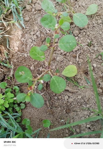
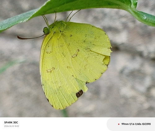
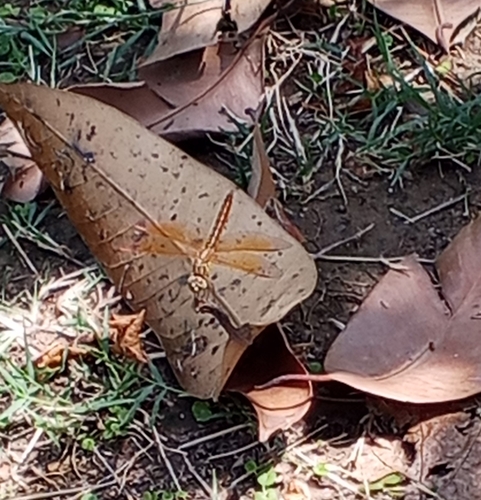
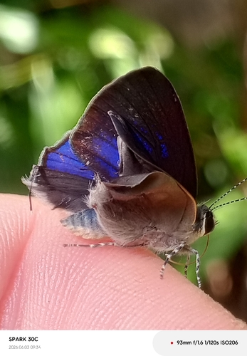
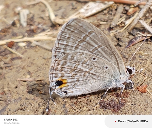
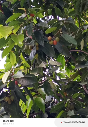
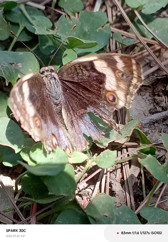
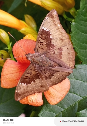
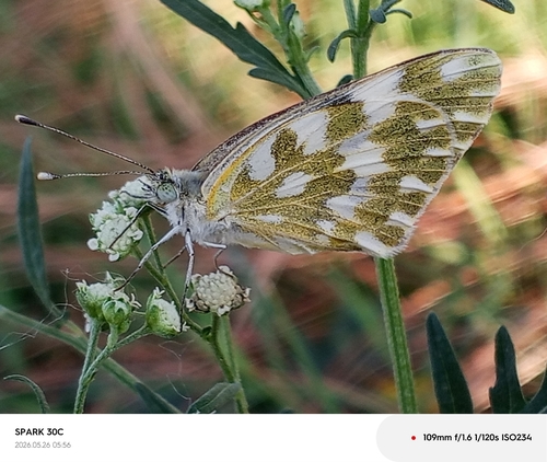
Research-grade observations from iNaturalist (within ~15 mi).
Events
Gallery
Sources
- • Wikipedia
- • Open-Meteo (ERA5 reanalysis)
- • Wikidata
- • iNaturalist
- • Open-Meteo / sunrise-sunset.org
- • Wikipedia Pageviews API
- • Wikidata SPARQL (CC0) — population, area, elevation, inception, head of government, Commons image