Browse / Poland / Opole / Baborów
Baborów
Opoletown

Baborów
Total population
2,870
Demographic figures from Statistics Poland (GUS). Overview below cites Wikipedia and may reference a different year.
City facts
Facts from Wikidata (CC0).
Overview
Baborów is a town in Gmina Baborów, Głubczyce County, Opole Voivodeship, southern Poland. The town has an area of 11.86 square kilometres, and as of June 2022 it has a population of 2,852. Baborów lies on the river Psina.
Read more on WikipediaHistory & geography
History
The first mention of the town comes from 1296 in which a wójt Jarosław is mentioned. The town was most likely founded by a Bohemian magnate, Bavor (Babor). Later it was part of an independent duchy, Habsburg-ruled Bohemia, the Kingdom of Prussia and from 1871 and 1945 also of united Germany. After the defeat of Nazi Germany in World War II it became part of Poland. It was granted town rights before 1340, although deprived of them from 1575 to 1718. In the 18th century, Baborów belonged to the tax inspection region of Prudnik. According to the German census of 1890, the town had a population of 2,707, of which 2,220 (82%) were Czechs. It marked the 19th-century linguistic border between German, Polish, and Czech. During World War II, the town, then known as Bauerwitz, was the base for two working parties (E288 and E398) of British and Commonwealth prisoners of war, under the administration of the German Stalag VIII-B/344 POW camp. In January 1945, as the Soviet armies resumed their offensive and advanced from the east, the prisoners were marched by the Germans westward in the so-called Long March or Death March. Many of them died from the bitter cold and exhaustion. The lucky ones got far enough to the west to be liberated by the allied armies after some four months of travelling on foot in appalling conditions. The town's German population was interned in Łambinowice camp, and expelled.
Excerpted from the corresponding Wikipedia article (CC BY-SA).
Geography
Coordinates & boundaries from the US Census TIGER/Line shapefiles.
Climate
Air quality
Walkability
Amenities nearby
Wildlife & biodiversity
Earthquake history
Photos
Sights & places nearby
Notable people from here


People born within ~10 km, from Wikidata (CC0). Click any name for their Wikipedia article.
Nearby places in Opole
Geography & sun
Elevation, sunrise/sunset and daylight from Open-Meteo. Solar climatology from NASA POWER.
Nearby airports
Public attention
Pageview totals from the Wikimedia Pageviews API.
Books about this place
Recent natural events nearby
Ground air-quality sensors
Recently spotted species
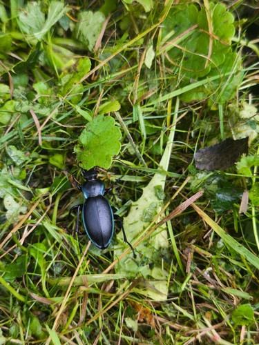
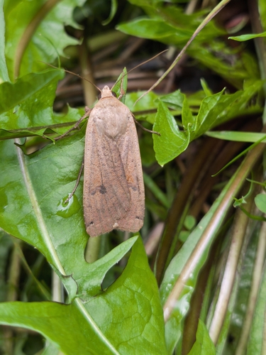
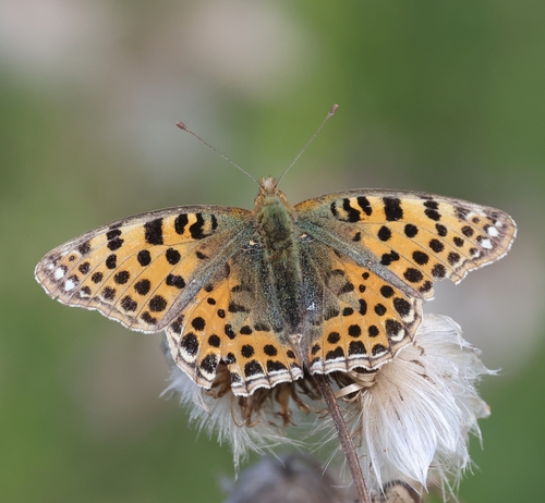
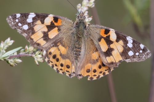
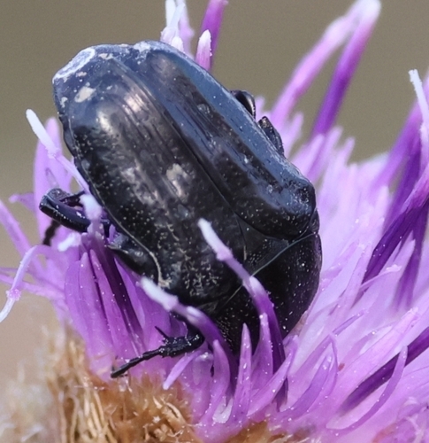
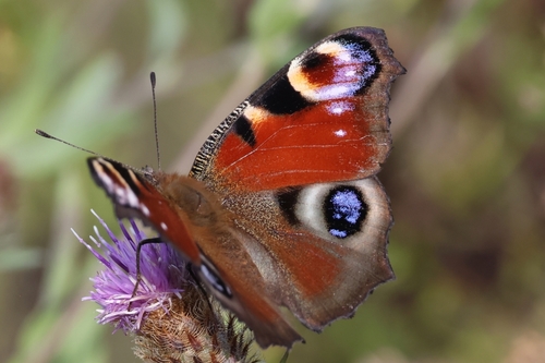
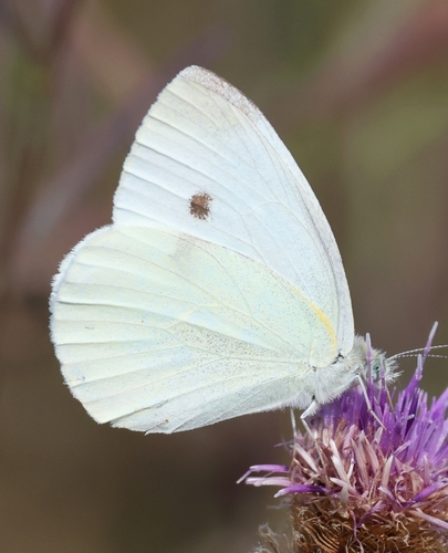
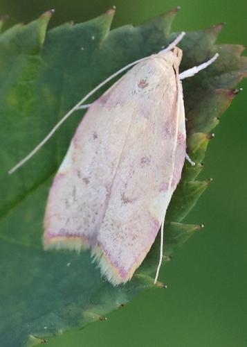
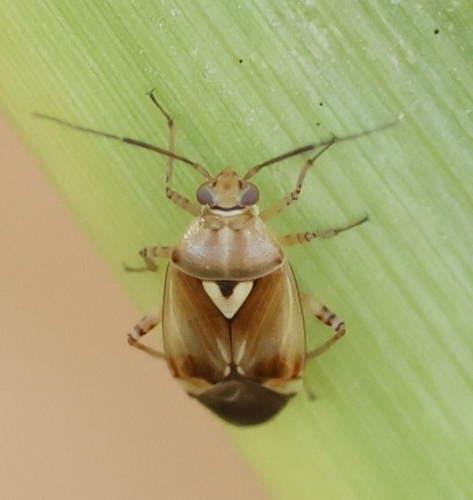
Research-grade observations from iNaturalist (within ~15 mi).
Events
Gallery
Official Identifiers
GUS — Statistics Poland
- SIMC code
- 0965200
- Population (Wikidata)
- 2,870
- Wikidata
- Q592262
SIMC place ID via Wikidata P4046
Sources
- • Wikipedia
- • Wikidata
- • iNaturalist
- • Open-Meteo / sunrise-sunset.org
- • Wikipedia Pageviews API
- • GUS — Statistics Poland — SIMC place ID via Wikidata P4046