Browse / Poland / Warmia-Masuria / Barczewko
Barczewko
Warmia-Masuriavillage

Barczewko
Total population
1,050
Demographic figures from Statistics Poland (GUS). Overview below cites Wikipedia and may reference a different year.
City facts
Facts from Wikidata (CC0).
Overview
Barczewko is a village in the administrative district of Gmina Barczewo, within Olsztyn County, Warmian-Masurian Voivodeship, in northern Poland. It is situated on the northern shore of Lake Wadąg in the historic region of Warmia.
Read more on WikipediaHistory & geography
History
Barczewko was established in the 1320s by vogt Friedrich von Liebenzelle. It had an associated castle, but its location has not been established. The settlement was established on a promontory to northeast of Lake Wadag. Bounded by ditches and earthen ramparts, the site of the medieval village was roughly oval and measured along its axes. Barczewko was a planned settlement, with organised streets, a central square, a church and cemetery, and a bathhouse. The main construction material used at Barczewko was timber, with little use of stone or brick. The 14th-century chronicler Wigand von Marburg recorded that in 1354 "Kęstutis and Algirdas, along with their nobles etc., rushed to Wartenberg in the land of Gunelauken, which they destroyed in a hostile manner with fire, etc. and nobody escaped their hands". Kęstutis and Algirdas were brothers and joint Grand Dukes of Lithuania. The destruction of Barczewko and its population was typical of the conflict between the two parties. The fire may have been deliberately spread across the town as the buildings were not densely arranged. The village was later rebuilt but further to the east of the original location. The village church dates from 1582. It formed part of the Kingdom of Poland until it was annexed by Prussia in the First Partition of Poland in 1772. In the late 19th century, it had a population of 650, solely Polish by nationality. In 1920, the Germans attacked and disrupted Polish rallies held in the village.
Excerpted from the corresponding Wikipedia article (CC BY-SA).
Geography
Coordinates & boundaries from the US Census TIGER/Line shapefiles.
Climate
Air quality
Walkability
Amenities nearby
Wildlife & biodiversity
Earthquake history
Photos
Sights & places nearby
Notable people from here
Nearby places in Warmia-Masuria
- Dąbrówka Wielka3.8 mi away
- Gradki5.4 mi away · pop. 400
- Derc6.9 mi away · pop. 660
- Kierzliny7 mi away
- Studzianka7.3 mi away · pop. 400
- Szczęsne7.4 mi away
- Klewki7.8 mi away · pop. 1,500
- Podleśna7.9 mi away
- Kabikiejmy Dolne8.1 mi away
- Linowo8.5 mi away
- Orzechowo9 mi away · pop. 710
- Cerkiewnik9 mi away · pop. 760
Geography & sun
Elevation, sunrise/sunset and daylight from Open-Meteo. Solar climatology from NASA POWER.
Nearby airports
Public attention
Pageview totals from the Wikimedia Pageviews API.
Books about this place
Recent natural events nearby
Ground air-quality sensors
Recently spotted species
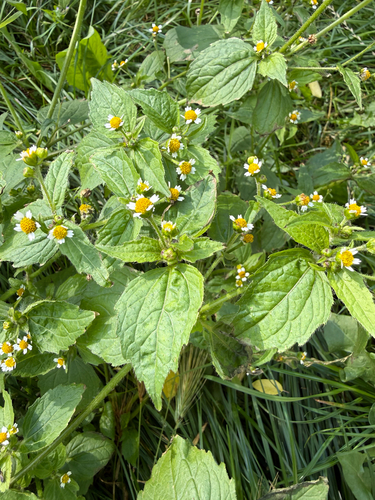
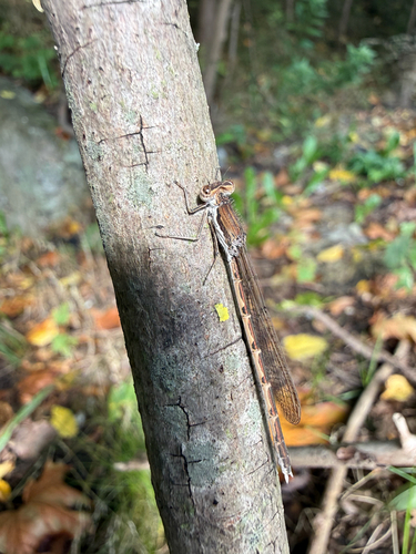
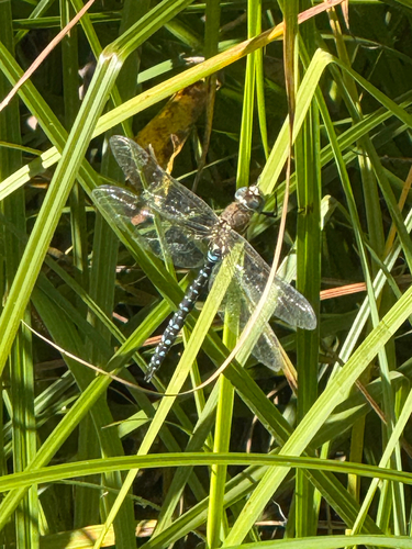
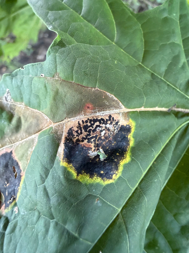
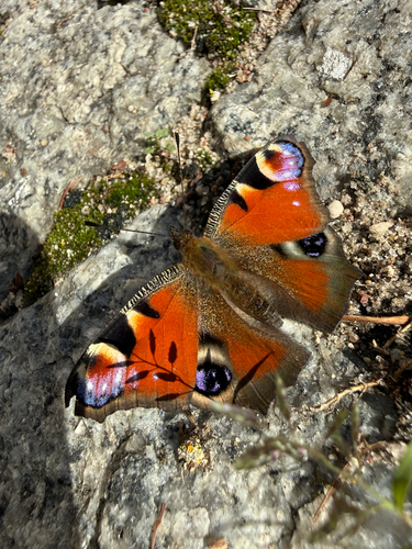
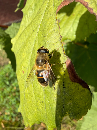
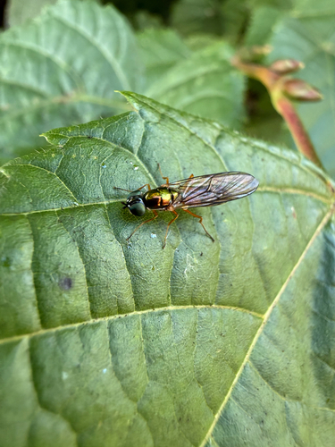
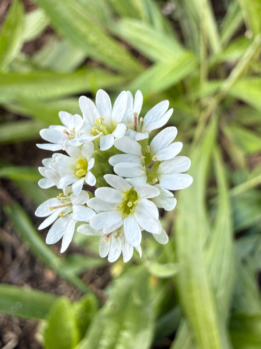
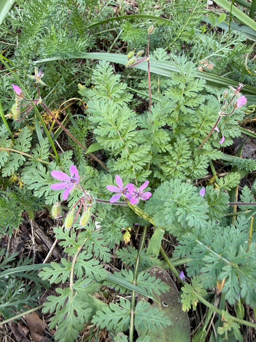
Research-grade observations from iNaturalist (within ~15 mi).
Events
Gallery
Official Identifiers
GUS — Statistics Poland
- SIMC code
- 0469719
- Population (Wikidata)
- 648
- Wikidata
- Q807982
SIMC place ID via Wikidata P4046
Sources
- • Wikipedia
- • Wikidata
- • iNaturalist
- • Open-Meteo / sunrise-sunset.org
- • Wikipedia Pageviews API
- • GUS — Statistics Poland — SIMC place ID via Wikidata P4046