Browse / Poland / Silesia / Bielsko-Biała
Bielsko-Biała
Silesiacity

Bielsko-Biała
Total population
169,089
Founded
1312
Demographic figures from Statistics Poland (GUS). Overview below cites Wikipedia and may reference a different year.
City facts
Sister cities
Facts from Wikidata (CC0).
Overview
Bielsko-Biała is a city in the Silesian Voivodeship, southern Poland, with a population of approximately 166,765 as of December 2022, making it the 22nd largest city in Poland, and an area of 124.51 km2 (48.07 sq mi). It is the core of the broader metropolitan area with around 335,000 inhabitants. It serves as the seat of the Bielsko County, Euroregion Beskydy, Roman Catholic Diocese of Bielsko–Żywiec and the Evangelical Church Diocese of Cieszyn.
Read more on WikipediaHistory & geography
History
There has been human habitation in Bielsko since around 1400 BC, wooden tools have been found along with stone axes dating from 1000 BC. The remnants of a fortified settlement in what is now the Stare Bielsko (Old Bielsko) district of the city were discovered between 1933 and 1938 by a Polish archaeological team. The settlement was dated to the 12th – 14th centuries. Its dwellers manufactured iron from ore and specialized in smithery. The current centre of the town was probably developed as early as the first half of the 13th century. At that time a castle (which still survives today) was built on a hill. In the second half of the 13th century, the Piast dukes of Opole invited German settlers to colonize the Silesian Foothills. As the dukes then also ruled over the Lesser Poland lands east of the Biała River, settlements arose on both banks like Bielitz (now Stare Bielsko), Nickelsdorf (Mikuszowice Śląskie), Kamitz (Kamienica), Batzdorf (Komorowice Śląskie) and Kurzwald in the west as well as Kunzendorf (Lipnik), Alzen (Hałcnów) and Wilmesau (Wilamowice) in the east. Nearby settlements in the mountains were Lobnitz (Wapienica) and Bistrai (Bystra). Those settlements did not undergo Slavonicisation in the following centuries, which led to the creation of a German language island (Bielitz-Bialaer Sprachinsel) that survived until the 20th century. After the partition of the Duchy of Opole in 1281, Bielsko passed to the Dukes of Cieszyn within fragmented Poland. The town was first documented in 1312 when Duke Mieszko I of Cieszyn granted a town charter. The Biała again became a border river, when in 1315 the eastern Duchy of Oświęcim split off from Cieszyn as a separate under Mieszko's son Władysław. After the Dukes of Cieszyn had become vassals of the Bohemian kings in…
Geography
Bielsko-Biała is located in the southern part of the Silesian Voivodeship, on the border of historical regions: Cieszyn Silesia (left-bank districts, 57.89% of the area) and Lesser Poland (right-bank districts, 42.11% of the area). The city represents 1.01% of the area of the voivodeship and 0.04% of the area of Poland. The latitudinal extent is approximately km and the meridional extent approximately . The straight line distance from the city center to the Czech border is , and to the Slovak border . The greater part of Bielsko-Biała lies in the Silesian Foothills (Pogórze Śląskie), which are part of the Western Beskid Foothills (Pogórze Zachodniobeskidzkie) physiographic macroregion. Within the administrative borders of Bielsko-Biała—in the southern districts—there are also mountain massifs of the Little Beskids (Beskid Mały) and the Silesian Beskids (Beskid Śląski). Most of the mountainous areas of Bielsko-Biała lie within two landscape parks: Little Beskids Landscape Park and Silesian Beskids Landscape Park. At the same time, they are protected under the Natura 2000 nature protection programme. The relief of Bielsko-Biała is quite diverse. Within the administrative borders of the city there are both upland and mountainous areas. The centrally located Bolesław Chrobry Square is above sea level. The lowest point are Komorowice Ponds at above sea level, while the highest peak is Klimczok in Silesian Beskids at above sea level. The upland part of Bielsko-Biała consists of dozens of hills, separated by valleys of rivers and streams, the central one being the valley of the Biała River. The Beskid massifs are separated by the Wilkowice Gate (Brama Wilkowicka) connecting the Silesian Foothills (Pogórze Śląskie) with the Żywiec Basin (Kotlina Żywiecka). There are 14…
Excerpted from the corresponding Wikipedia article (CC BY-SA).
Geography
Coordinates & boundaries from the US Census TIGER/Line shapefiles.
Climate
Air quality
Walkability
Amenities nearby
Wildlife & biodiversity
Earthquake history
Photos
Sights & places nearby
Notable people from here


People born within ~10 km, from Wikidata (CC0). Click any name for their Wikipedia article.
Nearby places in Silesia
- Bystra4.3 mi away · pop. 3,887
- Wilkowice4.6 mi away · pop. 6,604
- Meszna5.3 mi away · pop. 2,248
- Ligota5.7 mi away · pop. 4,454
- Pisarzowice6.2 mi away · pop. 4,673
- Bronów6.7 mi away · pop. 996
- Rybarzowice6.8 mi away · pop. 3,448
- Bujaków6.9 mi away · pop. 2,230
- Szczyrk7.3 mi away · pop. 5,496
- Rudzica7.4 mi away · pop. 3,186
- Porąbka7.7 mi away · pop. 3,959
- Kaniów7.7 mi away · pop. 3,500
Geography & sun
Elevation, sunrise/sunset and daylight from Open-Meteo. Solar climatology from NASA POWER.
Nearby airports
Public attention
Pageview totals from the Wikimedia Pageviews API.
Books about Bielsko-Biała

Search results from Open Library.
Recent natural events nearby
Ground air-quality sensors
Recently spotted species
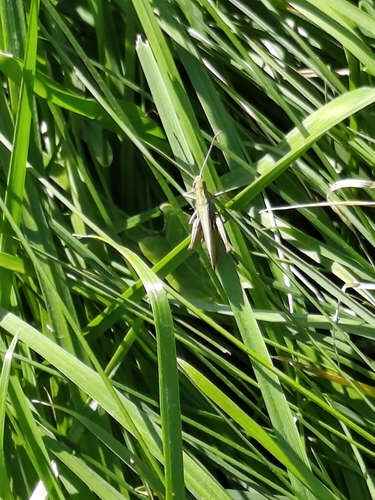
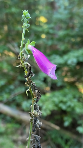
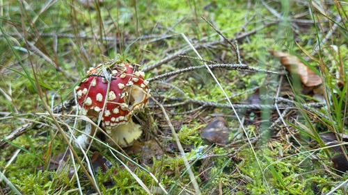
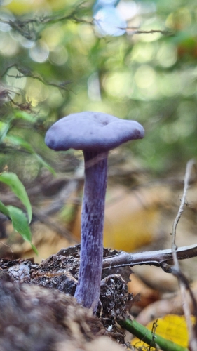
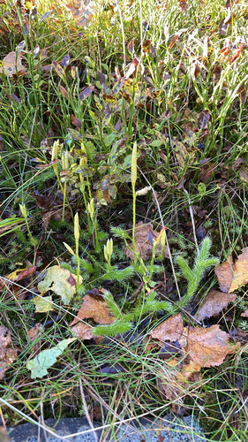
Research-grade observations from iNaturalist (within ~15 mi).
Events
Notable, recurring, and historical events associated with Bielsko-Biała, sourced from Wikidata.
- Jan 23, 2016
- Jan 9, 2016
Source: Wikidata (CC0).
Gallery
Official Identifiers
GUS — Statistics Poland
- SIMC code
- 0923584
- Population (Wikidata)
- 165,127
- Wikidata
- Q106583
SIMC place ID via Wikidata P4046
Sources
- • Wikipedia
- • Wikidata
- • iNaturalist
- • Open-Meteo / sunrise-sunset.org
- • Wikipedia Pageviews API
- • Open Library
- • GUS — Statistics Poland — SIMC place ID via Wikidata P4046