Browse / Poland / Warmia-Masuria / Biskupiec
Biskupiec
Warmia-Masuriatown

Biskupiec
Total population
10,163
Demographic figures from Statistics Poland (GUS). Overview below cites Wikipedia and may reference a different year.
City facts
Sister cities
Facts from Wikidata (CC0).
Overview
Biskupiec is a town in northern Poland, in Warmia, in the Warmian-Masurian Voivodeship. It is located in Olsztyn County and, as of December 2021, it has a population of 10,496. The countryside surrounding Biskupiec is a popular tourist destination, part of the Masurian Lake District.
Read more on WikipediaHistory & geography
History
The town's name derived from the Prince-Bishops of Warmia, who had a castle built in the southeastern outskirts of their realm on the Dymer creek in the late 14th century. The fortress was first mentioned in a 1389 deed, the settlement that had developed nearby received town privileges according to Kulm law by Bishop Henry III Sorbom in 1395. The town sided with the Prussian Confederation, at the request of which King Casimir IV Jagiellon signed the act of incorporation of the region to Poland in 1454. The town and castle were devastated during the subsequent Thirteen Years' War (1454–66), and with Warmia passed to the Kingdom of Poland according to the Second Peace of Thorn in 1466. Again demolished during the Polish–Teutonic War (1519–21), the Polish–Swedish War (1626–1629) and the Second Northern War (1655–1660), the development of the town was often hampered not only by warfare, but also by blazes, plague and famine. With the First Partition of Poland in 1772, Bischofsburg was annexed by the Kingdom of Prussia and a year later incorporated into the newly established Province of East Prussia. The town's population was overwhelmingly Polish. According to the 1797 report of the local priest, of the 200 children attending religious education, only 20 were learning German. From 1862 until 1945, it was the seat of Landkreis Rößel (Reszel district), from 1871 part of the German Empire. In 1882, in response to the Germanisation attempts of the authorities, a Polish library was established in the town. According to the 1897 data, 75% of children in the district, as well as in the whole southern Warmia region, spoke Polish. After the German defeat in World War I the 1920 East Prussian plebiscite held in the town resulted in 3461 against 52 votes cast for Germany. During…
Excerpted from the corresponding Wikipedia article (CC BY-SA).
Geography
Coordinates & boundaries from the US Census TIGER/Line shapefiles.
Climate
Air quality
Walkability
Amenities nearby
Wildlife & biodiversity
Earthquake history
Photos
Sights & places nearby
Notable people from here
Geography & sun
Elevation, sunrise/sunset and daylight from Open-Meteo. Solar climatology from NASA POWER.
Nearby airports
Public attention
Pageview totals from the Wikimedia Pageviews API.
Books about this place
Recent natural events nearby
Ground air-quality sensors
Recently spotted species

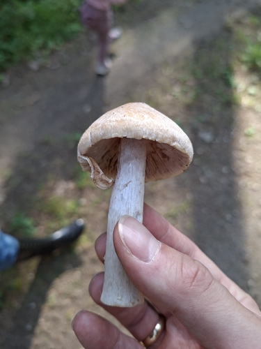
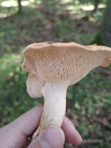
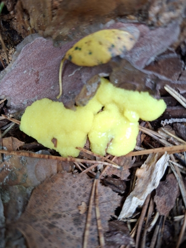
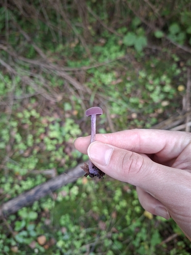
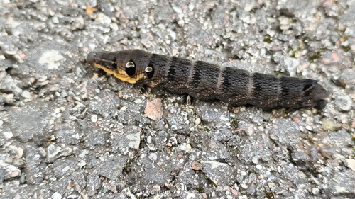
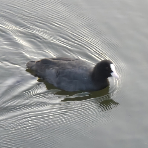
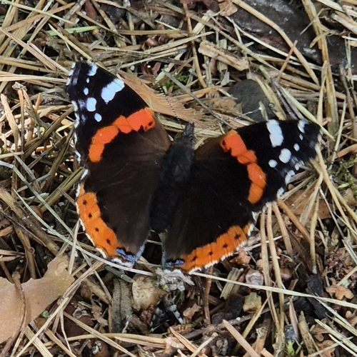
Research-grade observations from iNaturalist (within ~15 mi).
Events
Gallery
Sources
- • Wikipedia
- • Wikidata
- • iNaturalist
- • Open-Meteo / sunrise-sunset.org
- • Wikipedia Pageviews API