Browse / Poland / Silesia / Blachownia
Blachownia
Silesiatown

Blachownia
Total population
9,334
Demographic figures from Statistics Poland (GUS). Overview below cites Wikipedia and may reference a different year.
City facts
Facts from Wikidata (CC0).
Overview
Blachownia is a town in Częstochowa County, Silesian Voivodeship, in southern Poland. The town belongs to historic Lesser Poland. As of December 2021, it has a population of 9,383.
Read more on WikipediaHistory & geography
History
The history of Blachownia dates back to 1356, when King Casimir III the Great gave permission to establish two villages in the area under the jurisdiction of a starosta from nearby Olsztyn. This resulted in an influx of settlers, and this area of western lesser Poland, located near the border with Czech-ruled Silesia, emerged as a center of industry, with several forges and bloomeries. In the 16th century, when the settlement of Łojki (future Blachownia) belonged to Kraków Voivodeship, it had as many as 36 forges, powered by water wheels. Furthermore, iron ore was excavated here, and in one of the still-existing documents from 1531, King Sigismund II Augustus allowed a man named Błażej Łojek to run a forge. In 1606, within the boundaries of today's Blachownia, was a settlement called Trzepizury, which consisted of three houses and an inn. In 1610, Mikołaj Wolski, the starosta of Krzepice built two early blast furnaces, also purchasing a forge with two hammers, powered by water. By 1630, local metal plants manufactured app. 800 wagons of iron annually, together with farming tools, sheet metal, and cannonballs. In 1631, the metal plants were visited by King Władysław IV Vasa. In the second half of the 17th century, the Blachownia industrial center declined, together with whole Lesser Poland, following the Swedish invasion of Poland. For 150 years local plants were not mentioned in any sources. In 1782, two bloomeries near Krzepice are described. After the Partitions of Poland, Blachownia since 1815 belonged to Russian-controlled Congress Poland, from 1867 on as part of Piotrków Governorate. Due to efforts of Stanisław Staszic, artisans from Gliwice and technology from Berlin were brought to Blachownia, to recreate metal industry. In 1834, Bank Polski leased area for…
Excerpted from the corresponding Wikipedia article (CC BY-SA).
Geography
Coordinates & boundaries from the US Census TIGER/Line shapefiles.
Climate
Air quality
Walkability
Amenities nearby
Wildlife & biodiversity
Most-observed species
- Common Wood-PigeonColumba palumbus Linnaeus, 1758 · Aves77
- Western JackdawColoeus monedula (Linnaeus, 1758) · Aves77
- Eurasian BlackbirdTurdus merula Linnaeus, 1758 · Aves67
- Garden SpiderAraneus diadematus Clerck, 1757 · Arachnida64
- Great TitParus major Linnaeus, 1758 · Aves57
- MallardAnas platyrhynchos Linnaeus, 1758 · Aves57
- Harlequin ladybird, Asian ladybird, Asian ladybeetleHarmonia axyridis (Pallas, 1773) · Insecta53
- Common CraneGrus grus (Linnaeus, 1758) · Aves52
Citizen-science & research observations from the Global Biodiversity Information Facility (GBIF).
Earthquake history
Most recent
- M 2.6 — 2026-04-091 km WNW of Radlin, Poland
- M 2.9 — 2025-04-294 km WSW of Bytom, Poland
- M 3.2 — 2025-01-271 km NE of Radlin, Poland
- M 2.9 — 2024-07-114 km N of Jejkowice, Poland
- M 3 — 2023-10-042 km W of Murcki, Poland
- M 2.7 — 2022-04-234 km NE of ?wierklany Górne, Poland
Events from the USGS Earthquake Catalog (global) (FDSN Event Web Service).
Photos
Sights & places nearby
Notable people from here
Nearby places in Silesia
Geography & sun
Elevation, sunrise/sunset and daylight from Open-Meteo. Solar climatology from NASA POWER.
Nearby airports
Public attention
Pageview totals from the Wikimedia Pageviews API.
Books about this place
Recent natural events nearby
Ground air-quality sensors
Recently spotted species
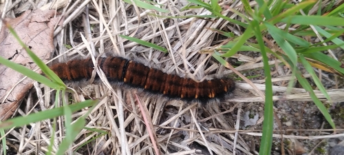
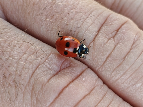
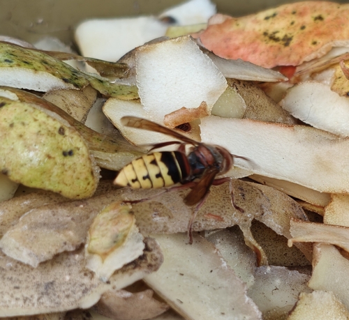
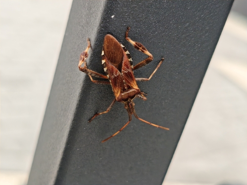
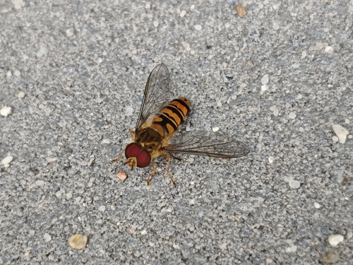
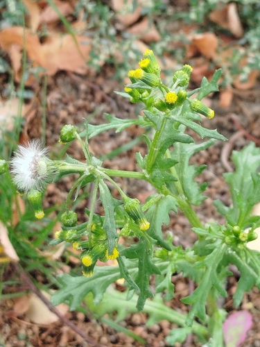
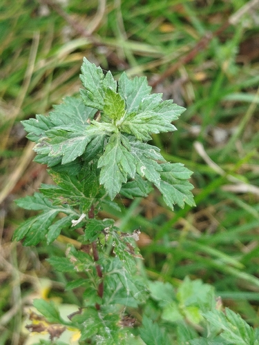
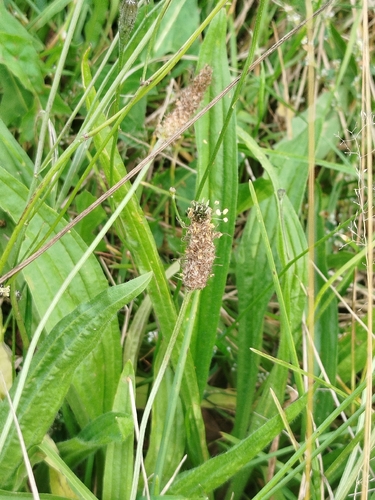
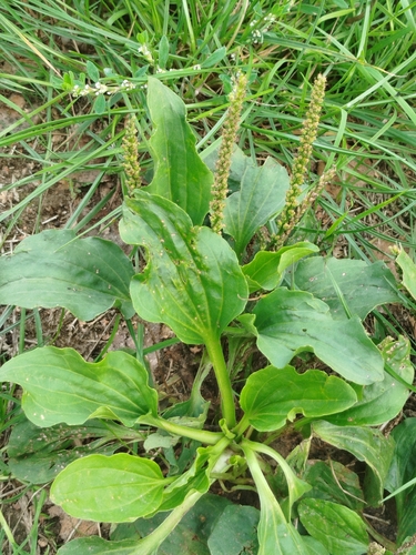
Research-grade observations from iNaturalist (within ~15 mi).
Events
Gallery
Official Identifiers
GUS — Statistics Poland
- SIMC code
- 0931365
- Population (Wikidata)
- 9,334
- Wikidata
- Q1483871
SIMC place ID via Wikidata P4046
Sources
- • Wikipedia
- • Wikidata
- • USGS Earthquake Catalog (global feed)
- • GBIF (Global Biodiversity Information Facility)
- • iNaturalist
- • Open-Meteo / sunrise-sunset.org
- • Wikipedia Pageviews API
- • GUS — Statistics Poland — SIMC place ID via Wikidata P4046