Browse / Poland / Kuyavia-Pomerania / Brodnica
Brodnica
Kuyavia-Pomeraniatown

Brodnica
Total population
28,865
Demographic figures from Statistics Poland (GUS). Overview below cites Wikipedia and may reference a different year.
City facts
Sister cities
Facts from Wikidata (CC0).
Overview
Brodnica is a town in northern Poland with 28,574 inhabitants as of 2014. It is the seat of Brodnica County in the Kuyavian-Pomeranian Voivodeship. The nearby Brodnica Landscape Park, a protected area, gets its name from Brodnica.
Read more on WikipediaHistory & geography
History
The territory formed part of Poland after the country's establishment in the 10th century. The settlement of Michałowo (present-day neighbourhood of Brodnica) was established, which by 1240 became the seat of a castellany. Michałowo was a local administrative, military, judicial, commercial and religious center. It was located on an important trade route connecting Mazovia and Pomesania, and in 1252 a customs chamber was mentioned. The first reference to the town dates from 1263, when the area was part of the State of the Teutonic Order. In 1285–1370 the construction of the Gothic Church of St. Catherine took place. The settlement received town privileges in 1298 under the German name . In 1414, a Polish–Teutonic truce was signed there, ending the Hunger War. In 1440, the town was one of the founding members of the Prussian Confederation, which opposed Teutonic rule, and upon the request of which King Casimir IV Jagiellon reincorporated the territory to the Kingdom of Poland in 1454. On 28 May 1454 the town pledged allegiance to the Polish King in Thorn (Toruń). After the end of the Thirteen Years' War, the Teutonic Knights renounced claims to the town, and recognized it as part of Poland. It became a royal town of the Polish Crown, administratively located in the Chełmno Voivodeship in the provinces of Royal Prussia and Greater Poland. In the Teutonic state the town was the seat of the Commander; in the Polish Kingdom it was the capital of the district starosty, and the former Commander's lands were then royal property. A favourable location on the intersection of important routes used for transportation of different goods (wood, fish, furs, animal skin, grain, wool) accelerated the development of the town, making it an important trading centre, the status still…
Excerpted from the corresponding Wikipedia article (CC BY-SA).
Geography
Coordinates & boundaries from the US Census TIGER/Line shapefiles.
Climate
Air quality
Walkability
Amenities nearby
Wildlife & biodiversity
Most-observed species
- Great TitParus major Linnaeus, 1758 · Aves631
- Great Spotted WoodpeckerDendrocopos major (Linnaeus, 1758) · Aves622
- MallardAnas platyrhynchos Linnaeus, 1758 · Aves547
- Common RavenCorvus corax Linnaeus, 1758 · Aves528
- Common CraneGrus grus (Linnaeus, 1758) · Aves486
- Common Wood-PigeonColumba palumbus Linnaeus, 1758 · Aves462
- Eurasian Tree SparrowPasser montanus (Linnaeus, 1758) · Aves427
- Eurasian JayGarrulus glandarius (Linnaeus, 1758) · Aves403
Citizen-science & research observations from the Global Biodiversity Information Facility (GBIF).
Earthquake history
Events from the USGS Earthquake Catalog (global) (FDSN Event Web Service).
Photos
Sights & places nearby
Notable people from here
Nearby places in Kuyavia-Pomerania
- Karbowo2.1 mi away · pop. 1,000
- Podgórz2.2 mi away
- Moczadła3 mi away · pop. 370
- Żmijewo3.1 mi away · pop. 590
- Kruszyny Szlacheckie3.4 mi away
- Mszano3.5 mi away
- Drużyny3.5 mi away
- Niewierz4.4 mi away
- Nowy Dwór4.5 mi away
- Igliczyzna4.7 mi away · pop. 90
- Kamionka5.2 mi away · pop. 120
- Kretki Duże5.5 mi away · pop. 158
Geography & sun
Elevation, sunrise/sunset and daylight from Open-Meteo. Solar climatology from NASA POWER.
Nearby airports
Public attention
Pageview totals from the Wikimedia Pageviews API.
Books about this place
Recent natural events nearby
Ground air-quality sensors
Recently spotted species
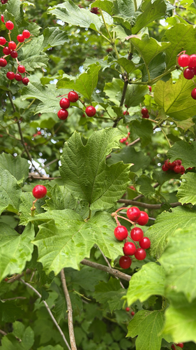
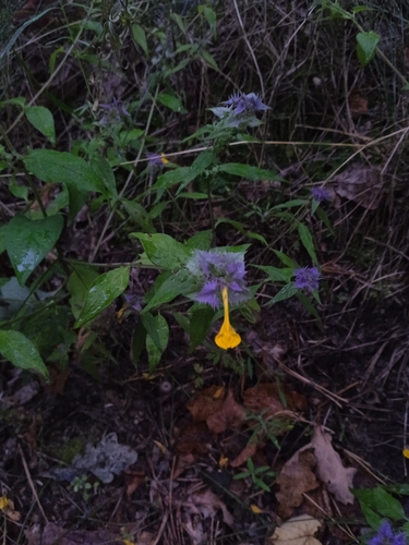
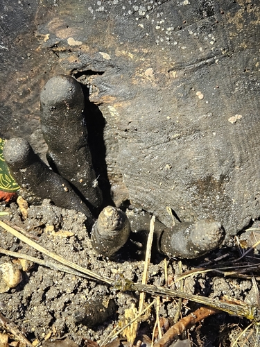
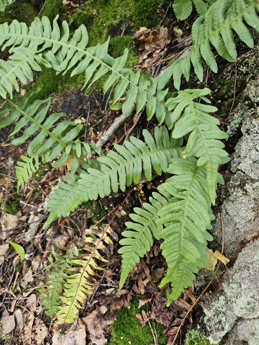
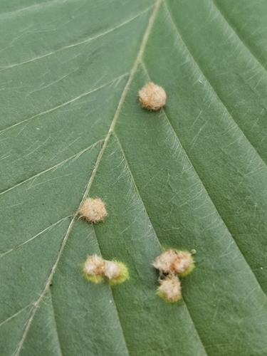
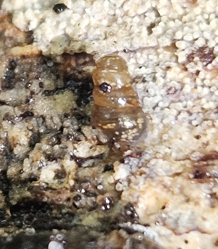
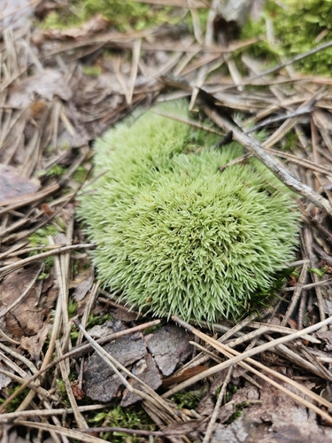
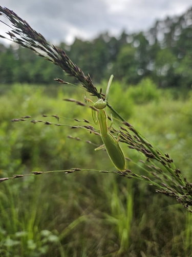
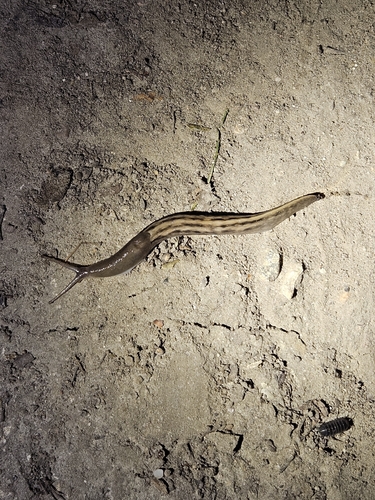
Research-grade observations from iNaturalist (within ~15 mi).
Events
Gallery
Sources
- • Wikipedia
- • Wikidata
- • USGS Earthquake Catalog (global feed)
- • GBIF (Global Biodiversity Information Facility)
- • iNaturalist
- • Open-Meteo / sunrise-sunset.org
- • Wikipedia Pageviews API