Browse / Poland / Lower Silesia / Brzeg Dolny
Brzeg Dolny
Lower Silesiatown

Brzeg Dolny
Total population
12,765
Demographic figures from Statistics Poland (GUS). Overview below cites Wikipedia and may reference a different year.
City facts
Sister cities
Facts from Wikidata (CC0).
Overview
Brzeg Dolny is a town in Wołów County, Lower Silesian Voivodeship in south-western Poland. It is located 31 km (19 mi) north-west of Wrocław on the Oder River, and is the site of a large chemical plant complex, PCC Rokita SA. As of December 2021, the town has a population of 12,395. It is part of the Wrocław metropolitan area.
Read more on WikipediaHistory & geography
History
The oldest Slavic settlements in present-day Brzeg Dolny date back to the early Middle Ages. In the 10th century the area became part of the emerging Polish state under its first ruler Mieszko I of Poland. Brzeg Dolny was first mentioned under the Old Polish name Brzege in a 1353 deed as a part of the Duchy of Wrocław, then within the Bohemian (Czech) Crown Lands. The Warzyń district is older, mentioned as a village in a 1261 document of Duke Henry III the White when the region was still part of medieval Piast-ruled Poland. There was a ferry crossing the Oder River in Brzeg Dolny. The Dyhrns had built a palace for their residence, which stayed in their possession until the early 1780s, when Count Wilhelm von Dyhrn (1749–1813) sold it to the minister of Silesia Karl Georg von Hoym (1739-1807), who had married Baroness Antoinette Louise von Dyhrn und Schönau (1745–1820). The new owners subsequently modernized the Baroque palace and the adjoining park according to the plans of Carl Gotthard Langhans. Langhans also directed the construction of a large neo-classical pavilion perpendicular to the central structure, which became known as the “Little Palace.” Following these changes, the grand complex remained much the same until 1849, when it passed into the hands of Tony von Lazareff. She had it refashioned to resemble a Renaissance château overlooking the Loire. The river bank garden was also given Renaissance character. In 1742, after the First Silesian War, the duchy became part of Prussia and remained in Prusso-German possession until 1945. In 1860, the first sisters of Charity of St. Charles Borromeo came to Dyhernfurth. In close proximity to the Chapel of St. Hedwig, the nuns established a small convent and a hospital, which would eventually expand into the town…
Excerpted from the corresponding Wikipedia article (CC BY-SA).
Geography
Coordinates & boundaries from the US Census TIGER/Line shapefiles.
Climate
Air quality
Walkability
Amenities nearby
Wildlife & biodiversity
Earthquake history
Photos
Sights & places nearby
Notable people from here


People born within ~10 km, from Wikidata (CC0). Click any name for their Wikipedia article.
Nearby places in Lower Silesia
- Stary Dwór3.6 mi away
- Grodzanów5.1 mi away
- Miękinia5.6 mi away · pop. 2,500
- Przedmoście5.7 mi away
- Szczepanów6.4 mi away · pop. 1,700
- Święte6.4 mi away
- Mikorzyce6.9 mi away
- Brzezina7.1 mi away · pop. 1,170
- Pisarzowice7.5 mi away · pop. 588
- Lubnów7.7 mi away · pop. 591
- Raków8 mi away · pop. 78
- Komorniki8 mi away
Geography & sun
Elevation, sunrise/sunset and daylight from Open-Meteo. Solar climatology from NASA POWER.
Nearby airports
Public attention
Pageview totals from the Wikimedia Pageviews API.
Books about this place
Recent natural events nearby
Ground air-quality sensors
Recently spotted species
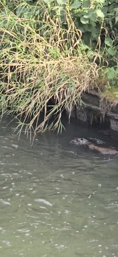
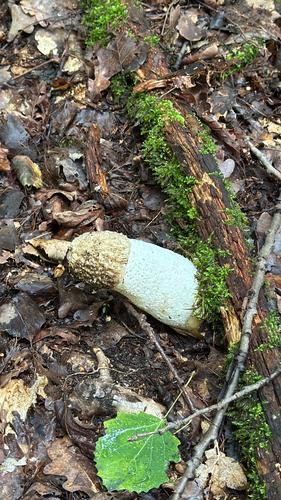
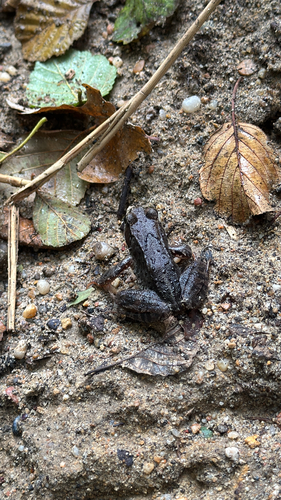

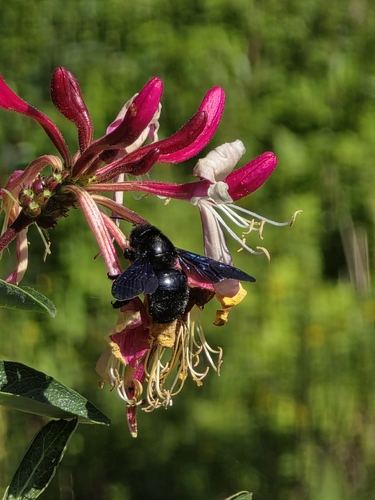
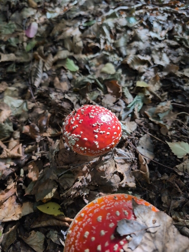
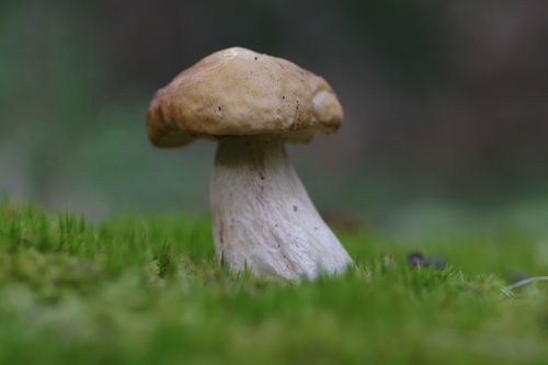
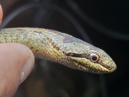
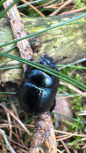
Research-grade observations from iNaturalist (within ~15 mi).
Events
Gallery
Official Identifiers
GUS — Statistics Poland
- SIMC code
- 0987064
- Population (Wikidata)
- 12,765
- Wikidata
- Q995429
SIMC place ID via Wikidata P4046
Sources
- • Wikipedia
- • Wikidata
- • iNaturalist
- • Open-Meteo / sunrise-sunset.org
- • Wikipedia Pageviews API
- • GUS — Statistics Poland — SIMC place ID via Wikidata P4046