Browse / Poland / West Pomerania / Cedynia
Cedynia
West Pomeraniatown

Cedynia
Total population
1,473
Demographic figures from Statistics Poland (GUS). Overview below cites Wikipedia and may reference a different year.
City facts
Overview
Cedynia is a historic town in Poland, and the administrative seat of Gmina Cedynia in Gryfino County, West Pomeranian Voivodeship. It is situated close to the Oder river and the border with Germany. The town is known for the 972 Battle of Cedynia, the first historically recorded battle of Poland.
Read more on WikipediaHistory & geography
History
Largely depopulated during the Migration Period, the first Slavic settlement came into existence in the 8th century, when a gród fortification was erected in the area. Around 967, it became part of the emerging Polish state. According to the Cedynia website, the "Name of city appears in documents under oldest written records already in the year 972 as Cidini, in 1187 as Zedin and Cedene, in 1240 as Ceden. " On 24 June 972, the first historically recorded battle of the Polan dukes, the Battle of Cedynia, took place at this location: the Piast duke Mieszko I of Poland and his brother Czcibor defeated the invading forces of the Saxon count Odo I, who then ruled as a margrave in the Saxon Eastern March (Lusatia). Information about this battle is found both in the chronicles by Thietmar of Merseburg and in the Gesta principum Polonorum by Gallus Anonymus. After Emperor Otto II intervened, a peace was reached at the Imperial Diet in Quedlinburg the next year. Under Mieszko's son Bolesław the name Poland was used for the first time. The Battle of Cedynia was the first of Mieszko and Bolesław's numerous battles that they took up in their conquest attempts in the Polabian border territories soon after they received positions as dukes, mainly in the German–Polish War that lasted from 1002 until the 1018 Peace of Bautzen. Following the death of Bolesław III Wrymouth and the fragmentation of Poland, Cedynia was part of the Duchy of Greater Poland. Together with Santok and Drezdenko, it remained the seat of a (Greater) Polish castellany on the Pomeranian border in the 12th and 13th centuries. With adjacent Lubusz Land in the south, the town became a part of the Neumark acquisitions of the Ascanian margraves John I and of Otto III of Brandenburg in 1248/52. In 1278 the…
Geography
Cedynia lies in an area that formed part of historic regions of Pomerania and Greater Poland, before later being part of Neumark. It is situated close to the Oder river, which forms the Germany–Poland border; it thereby is the westernmost town in Poland (neighbouring Osinów Dolny lies even further to the west, right on the German border, but is classified as a village). A road border crossing leads to the German town of Bad Freienwalde in the southwest. The town gives its name to an extended protected area known as Cedynia Landscape Park.
Excerpted from the corresponding Wikipedia article (CC BY-SA).
Geography
Coordinates & boundaries from the US Census TIGER/Line shapefiles.
Climate
Air quality
Walkability
Amenities nearby
Wildlife & biodiversity
Most-observed species
- Common CraneGrus grus (Linnaeus, 1758) · Aves662
- Hooded CrowCorvus cornix Linnaeus, 1758 · Aves577
- Graylag GooseAnser anser (Linnaeus, 1758) · Aves567
- Mute SwanCygnus olor (J.F.Gmelin, 1789) · Aves559
- White-tailed EagleHaliaeetus albicilla (Linnaeus, 1758) · Aves524
- Great TitParus major Linnaeus, 1758 · Aves506
- Gray/Purple HeronArdea cinerea Linnaeus, 1758 · Aves497
- corn buntingEmberiza calandra Linnaeus, 1758 · Aves483
Citizen-science & research observations from the Global Biodiversity Information Facility (GBIF).
Earthquake history
Events from the USGS Earthquake Catalog (global) (FDSN Event Web Service).
Photos
Sights & places nearby
Notable people from here
Nearby places in West Pomerania
- Piasek6.9 mi away
- Kołbaskowo33.1 mi away · pop. 410
- Ostoja38.2 mi away
- Czarna Łąka45.5 mi away · pop. 350
- Rurzyca48.1 mi away · pop. 500
- Rurka48.9 mi away · pop. 22
- Żdżary54.5 mi away · pop. 120
- Odargowo57.7 mi away · pop. 227
- Objezierze57.9 mi away
- Kopice58.4 mi away · pop. 135
- Widzieńsko58.9 mi away · pop. 160
- Czarnocin60 mi away · pop. 340
Geography & sun
Elevation, sunrise/sunset and daylight from Open-Meteo. Solar climatology from NASA POWER.
Nearby airports
Public attention
Pageview totals from the Wikimedia Pageviews API.
Books about this place
Recent natural events nearby
Ground air-quality sensors
Recently spotted species
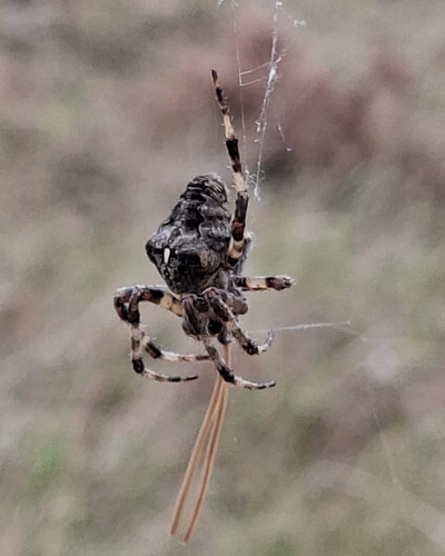
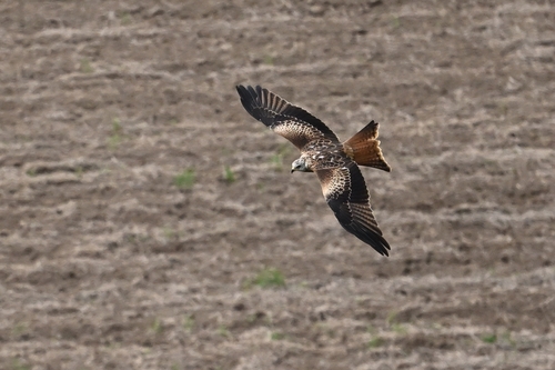
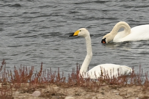
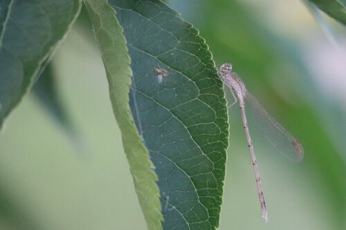
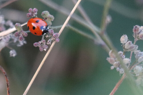
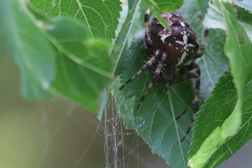
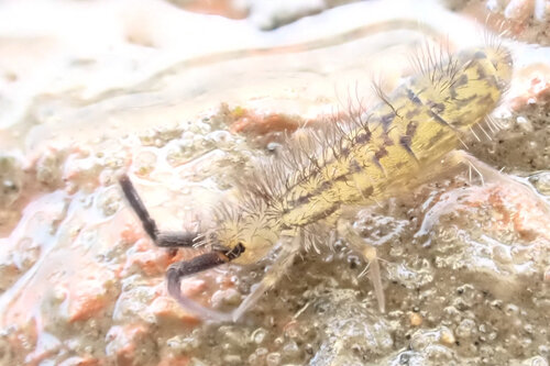
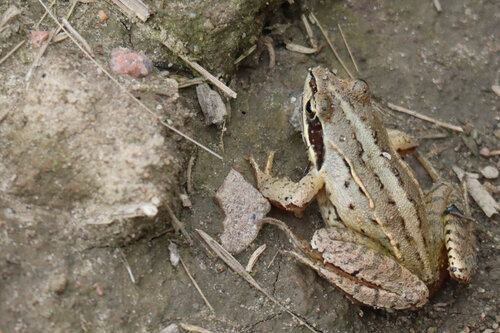
Research-grade observations from iNaturalist (within ~15 mi).
Events
Gallery
Official Identifiers
GUS — Statistics Poland
- SIMC code
- 0978734
- Population (Wikidata)
- 1,472
- Wikidata
- Q954143
SIMC place ID via Wikidata P4046
Sources
- • Wikipedia
- • USGS Earthquake Catalog (global feed)
- • GBIF (Global Biodiversity Information Facility)
- • iNaturalist
- • Open-Meteo / sunrise-sunset.org
- • Wikipedia Pageviews API
- • GUS — Statistics Poland — SIMC place ID via Wikidata P4046