Browse / Poland / Greater Poland / Chodzież
Chodzież
Greater Polandtown

Chodzież
Total population
18,044
Demographic figures from Statistics Poland (GUS). Overview below cites Wikipedia and may reference a different year.
City facts
Sister cities
Facts from Wikidata (CC0).
Overview
Chodzież is a town in west-central Poland with 17,976 inhabitants as of December 2021, seat of the Chodzież County in the Greater Poland Voivodeship.
Read more on WikipediaHistory & geography
History
A burial mound, estimated to date from 2000 B.C., is located in the area of the town where today's Słoneczna street lies. From about 1500 BC, tribes belonging to the Lusatian culture dominated the area for ten centuries. In 1904–1914 two burial grounds were discovered in the area of old Rzeźnicka street, that date to those times. In the early Middle Ages (400–700 AD), a little settlement existed on the south part of Lake Miejskie. Chodzież's beginnings go back at least to the 15th century. First written mention is from 1403. The name Chodzies is mentioned with that of the priest of the local Catholic parish. Researchers believe however, that town roots go back to the 13th century, when it already had its first church. On 3 March 1434, King Władysław II Jagiello issued a privilege that vested Chodzież with Magdeburg town rights for Trojan of Łękno. For many centuries it was a privately owned city, located within the Kalisz Voivodeship (from 1768 in the Gniezno Voivodeship) in the Greater Poland Province of the Kingdom of Poland. The LÍkiscy–Granowski family were the first owners, then from the mid of the 15th century, Chodzież belonged to the Potulicki family. From 1648 to 1830 the Grudziński family were the owners of Chodzież. The family's Grzymała coat of arms has been the town's crest since that time. St. Florian's church situated at the Market Square, is the oldest monument in Chodzież. Its probable founder was the first owner of the settlement, Trojan of Lekno. During the 17th century, various parts of Poland were invaded by Swedish troops. The arrival of a group of German clothmakers from Leszno, which had suffered a fire, around 1656, influenced the development of Chodzież. A new town was erected in the mid 18th century, next to the old medieval site in the…
Geography
Chodzież is located in the northern part of Greater Poland (western Poland), in the Chodzieskie lakelands. The most important characteristics of this lakeland area are its typical postglacial landforms, forests of pines and mixed woodlands, and lakes. For this reason, the city's surroundings are known as "the Switzerland of Chodzież". Five kilometers west of Chodzież, at the edge of the Chodzieskie lakelands, Mt. Gontyniec rises 192 meters above sea level as the highest peak in a chain of moraine hills; at the same time it has the highest elevation in northern Poland. Deep valleys and ridges covered with a 100-year-old beech forest ensure diversified surroundings. Within the five square miles (13 km2) of city area, there are three lakes: Miejskie, 1 km2 (English: Town lake, 0.4 mile²), Karczewnik, , and Strzeleckie, , which make up about 13% of the total town area. Detailed data as of 31 December 2021: {| class="wikitable" style="text-align:right;" !Description|| colspan=2|All || colspan=2|Women || colspan=2|Men |- |Unit || person || percentage || person || percentage|| person || percentage |-- |Population || 17976 || 100 || 9425 || 52.4% || 8551 || 47.6% |-- |Population density || colspan=2| 1407.7|| colspan=2| 738.1|| colspan=2| 669.6 |} Number of inhabitants by year:
Excerpted from the corresponding Wikipedia article (CC BY-SA).
Geography
Coordinates & boundaries from the US Census TIGER/Line shapefiles.
Climate
Air quality
Walkability
Amenities nearby
Wildlife & biodiversity
Most-observed species
- Common RavenCorvus corax Linnaeus, 1758 · Aves388
- Common BuzzardButeo buteo (Linnaeus, 1758) · Aves371
- Eurasian SkylarkAlauda arvensis Linnaeus, 1758 · Aves308
- Red KiteMilvus milvus (Linnaeus, 1758) · Aves303
- European StarlingSturnus vulgaris Linnaeus, 1758 · Aves274
- corn buntingEmberiza calandra Linnaeus, 1758 · Aves253
- YellowhammerEmberiza citrinella Linnaeus, 1758 · Aves251
- Common Wood-PigeonColumba palumbus Linnaeus, 1758 · Aves238
Citizen-science & research observations from the Global Biodiversity Information Facility (GBIF).
Earthquake history
Events from the USGS Earthquake Catalog (global) (FDSN Event Web Service).
Photos
Sights & places nearby
Notable people from here
Geography & sun
Elevation, sunrise/sunset and daylight from Open-Meteo. Solar climatology from NASA POWER.
Nearby airports
Public attention
Pageview totals from the Wikimedia Pageviews API.
Books about this place
Recent natural events nearby
Ground air-quality sensors
Recently spotted species
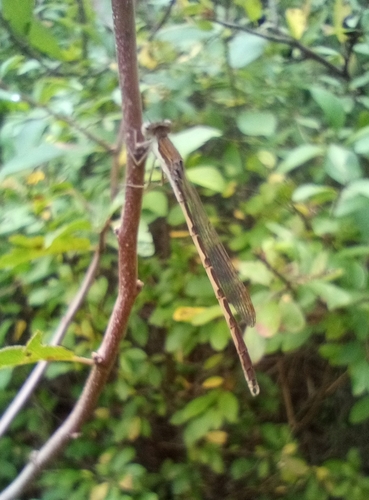
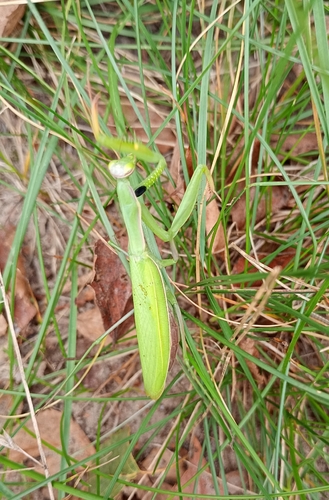
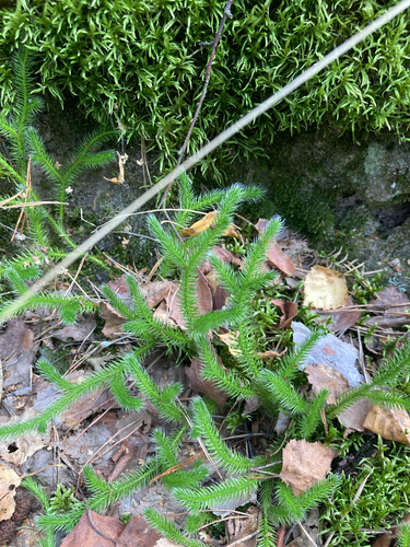
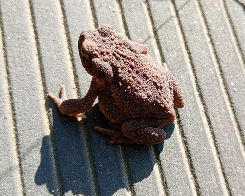
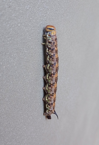
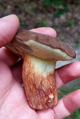
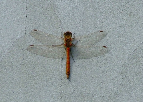
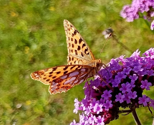
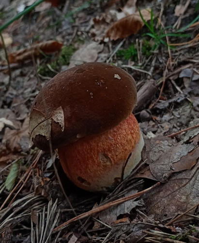
Research-grade observations from iNaturalist (within ~15 mi).
Events
Gallery
Official Identifiers
GUS — Statistics Poland
- SIMC code
- 0966760
- Population (Wikidata)
- 18,044
- Wikidata
- Q51434
SIMC place ID via Wikidata P4046
Sources
- • Wikipedia
- • Wikidata
- • USGS Earthquake Catalog (global feed)
- • GBIF (Global Biodiversity Information Facility)
- • iNaturalist
- • Open-Meteo / sunrise-sunset.org
- • Wikipedia Pageviews API
- • GUS — Statistics Poland — SIMC place ID via Wikidata P4046