Browse / Poland / Lubusz / Chwalim
Chwalim
Lubuszvillage

Chwalim
Demographic figures from Statistics Poland (GUS). Overview below cites Wikipedia and may reference a different year.
City facts
Overview
Chwalim is a village in the administrative district of Gmina Kargowa, within Zielona Góra County, Lubusz Voivodeship, in western Poland. It lies on the right (north-eastern) bank of the Obrzyca River, in the vicinity of national road No. 32 and a closed section of the railway line from Wolsztyn to Sulechów. It is the seat of the Chwalim village council.. The village also used to speak the Chwalim dialect, which went extinct in the early 20th century.
Read more on WikipediaHistory & geography
History
The village historically belonged to Greater Poland, has medieval records and has been recorded since the 15th century. It was first mentioned as Chwalny in 1408, Chwalym/Chwalim in 1418, Chwalimye in 1424 and Valim in 1444. In 1408, the village belonged to the parish of Niałek Wielki, and later to the parish of Kopanica. Initially, the village was a noble property, and from 1440 also a clergy property, belonging to the . The village had an oval shape and was founded in 1440. In 1467, it was located in the Kościan County of the Crown of the Kingdom of Poland. In 1441, the chamberlain demarcated the royal tenures of Babimost and Kopanica with parts of the village of Chwalim, then belonging to the abbot of Obra and Nikl Kargowski. An incident occurred during the establishment of this boundary. When 40 mounds were raised on the border with Kopanica, the tenant Rudzki of Kopanica prevented the raising of further mounds. Ten mounds were raised on the borders of Chwalim with Krampsko Stare and Babimost, which was approved by the land court. The village is recorded in numerous historical legal and tax documents. In 1513, King Sigismund the Old of Poland approved the division of the ancestral estates of Kargów and Chwalim, as well as the royal estates of Kopanica and others, between the brothers Wojciech and Jan of Żychlin. In 1515, the Kopanica tenant, Jan of Żychlin, owned, among other things, estates in Chwalim and . In 1519, King Sigismund the Old permitted Jan Kopanicki to bequeath 850 Hungarian złoty to his sister Anna, wife of Jakub Padniewski, the royal village of Wąchabno and his hereditary estates of Chwalim and Lake Białokosz . In 1516, Jan Reza of Kopanica sued the abbot of Obra because his men had harvested honey from beehives in the Sławim forest and taken two…
Excerpted from the corresponding Wikipedia article (CC BY-SA).
Geography
Coordinates & boundaries from the US Census TIGER/Line shapefiles.
Climate
10-year averages from ERA5 reanalysis (Open-Meteo).
Air quality
Walkability
Amenities nearby
Wildlife & biodiversity
Earthquake history
Photos
Sights & places nearby
Notable people from here
Nearby places in Lubusz
Geography & sun
Elevation, sunrise/sunset and daylight from Open-Meteo. Solar climatology from NASA POWER.
Nearby airports
Public attention
Pageview totals from the Wikimedia Pageviews API.
Books about this place
Recent natural events nearby
Ground air-quality sensors
Recently spotted species
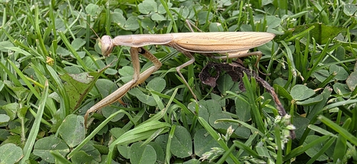
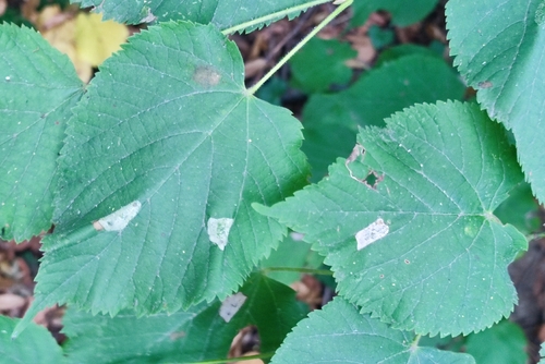
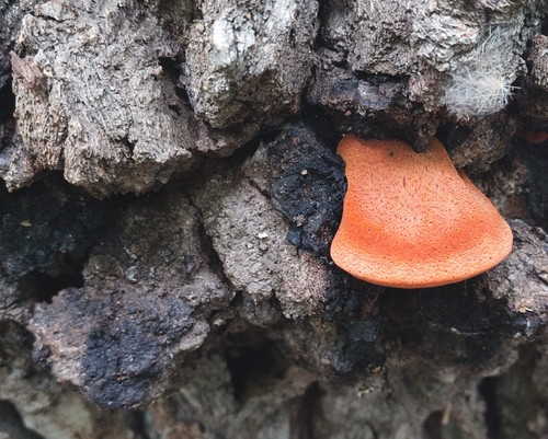
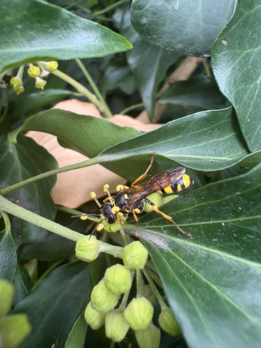
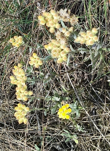
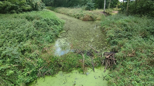
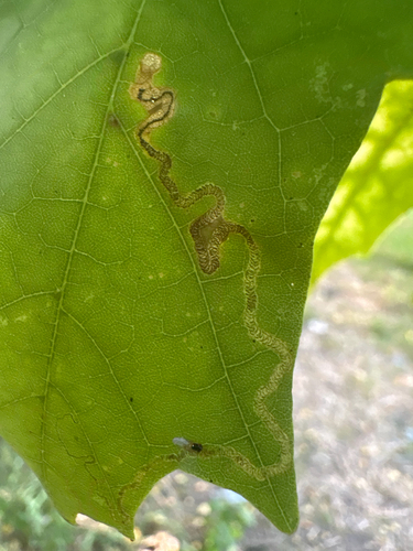
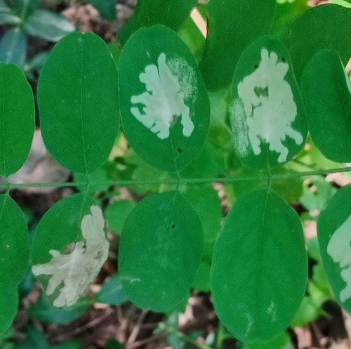
Research-grade observations from iNaturalist (within ~15 mi).
Events
Gallery
Official Identifiers
GUS — Statistics Poland
- SIMC code
- 0909986
- Population (Wikidata)
- 405
- Wikidata
- Q5118450
SIMC place ID via Wikidata P4046
Sources
- • Wikipedia
- • Open-Meteo (ERA5 reanalysis)
- • iNaturalist
- • Open-Meteo / sunrise-sunset.org
- • Wikipedia Pageviews API
- • GUS — Statistics Poland — SIMC place ID via Wikidata P4046