Browse / Poland / Opole / Cisek
Cisek
Opolevillage

Cisek
Total population
1,104
Demographic figures from Statistics Poland (GUS). Overview below cites Wikipedia and may reference a different year.
City facts
Facts from Wikidata (CC0).
Overview
Cisek is an agricultural village in Kędzierzyn-Koźle County, Opole Voivodeship, in south-western Poland. It is the seat of the gmina called Gmina Cisek.
Read more on WikipediaHistory & geography
History
In 1532, it was named as Czisky and Cisek. In 1830, the village had 564 residents and 138 houses. By 1845, it had grown to 760 inhabitants and 129 houses. A Roman Catholic school, founded in 1818, employed one teacher and one assistant teacher. In 1865, the total area of the village was . According to the census of 1910, the village was inhabited by 1,206 Poles. In the census of 1925, the Polish language was listed as the native tongue of 901 villagers, German was only listed by 64 people, and 343 people were recorded as bilingual. From 1925 to 1933, a Polish language public school functioned in the village. There was also a branch of the Polish-Catholic School Society. In 1937, the village caused an uproar in the Polish community of Germany due to the county authorities in Koźle denial of a license to suspend the village's newly acquired church tower bells. The bells had been funded by local Polish parishioners. The German authorities had stated that the tower was too weak to hang the heavy bells. Finally, the authorities agreed to suspend the bells after removing the Polish inscription from them which read, "Hail Mary, pray for us." The Union of Poles in Germany also registered two more cases of destruction of Polish inscriptions, which were placed on the roadside crosses, at this time. In 1997 the village was heavily affected by the Millennium Flood. The flood destroyed nearly all the season's crops and many roads. The village is partnered with both Breitungen and Körperich in Germany.
Excerpted from the corresponding Wikipedia article (CC BY-SA).
Geography
Coordinates & boundaries from the US Census TIGER/Line shapefiles.
Climate
Air quality
Walkability
Amenities nearby
Wildlife & biodiversity
Earthquake history
Photos
Sights & places nearby
Notable people from here


People born within ~10 km, from Wikidata (CC0). Click any name for their Wikipedia article.
Nearby places in Opole
Geography & sun
Elevation, sunrise/sunset and daylight from Open-Meteo. Solar climatology from NASA POWER.
Nearby airports
Public attention
Pageview totals from the Wikimedia Pageviews API.
Books about this place
Recent natural events nearby
Ground air-quality sensors
Recently spotted species
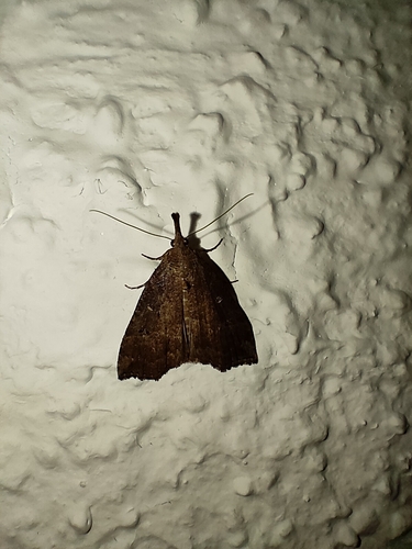
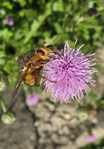
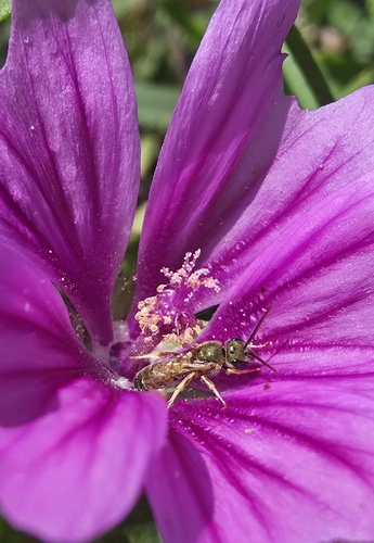
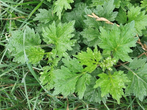
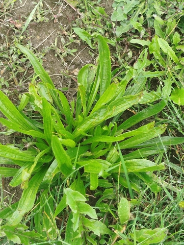
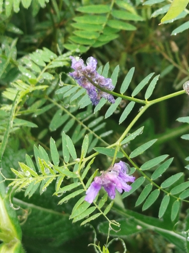
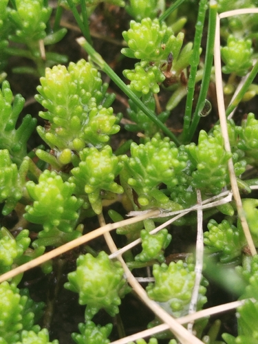
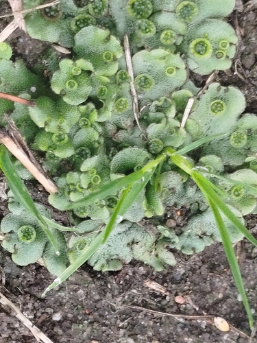
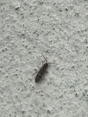
Research-grade observations from iNaturalist (within ~15 mi).
Events
Gallery
Official Identifiers
GUS — Statistics Poland
- SIMC code
- 0492701
- Population (Wikidata)
- 1,104
- Wikidata
- Q2288945
SIMC place ID via Wikidata P4046
Sources
- • Wikipedia
- • Wikidata
- • iNaturalist
- • Open-Meteo / sunrise-sunset.org
- • Wikipedia Pageviews API
- • GUS — Statistics Poland — SIMC place ID via Wikidata P4046