Browse / Poland / West Pomerania / Człopa
Człopa
West Pomeraniatown

Człopa
Total population
2,232
Demographic figures from Statistics Poland (GUS). Overview below cites Wikipedia and may reference a different year.
City facts
Facts from Wikidata (CC0).
Overview
Człopa is a town in Wałcz County of the West Pomeranian Voivodeship in western Poland. As of December 2021, it has a population of 2,277.
Read more on WikipediaHistory & geography
History
Viritium, a Germanic city in the 2nd century as shown on the map of Greek geographer Ptolemy, existed at the site of present-day Człopa. Człopa is an ancient town that was part of Poland since the 12th century, guarding its northern and western borders after the loss of the areas located more north and west. By 1245 Człopa was granted town rights. By the end of the 13th century, the Czarnkowski family of the Nałęcz szlachta received possession of the region around Człopa from Przemysł II, Duke of Greater Poland. The grant included permission to raise a hill-fort. Only portions of the hill-fort's walls have survived to the present time. In the early 14th century the town was briefly occupied by the Margraviate of Brandenburg, before it was recovered by Polish King Casimir III the Great in 1368. In 1406 it was ravaged by the Teutonic Knights. During the Swedish occupation of Poland, in 1658, a concentration of Polish troops led by Stefan Czarniecki, a national hero of Poland, was ordered near Człopa. From 1871 it was part of Germany and the post-World War II Treaty of Versailles did not restore the town, along with the northern outskirts of historic Greater Poland, to the re-established Polish Republic. In the final stages of World War II, in January 1945, the Germans evacuated the town's population. From January 29 to February 3, heavy fighting took place there between Nazi Germany and the Soviet Union. After the war, the town eventually returned to Poland. During the years 1975 to 1998, the city was administratively part of the Piła Voivodeship.
Excerpted from the corresponding Wikipedia article (CC BY-SA).
Geography
Coordinates & boundaries from the US Census TIGER/Line shapefiles.
Climate
Air quality
Walkability
Amenities nearby
Wildlife & biodiversity
Earthquake history
Photos
Sights & places nearby
Notable people from here


People born within ~10 km, from Wikidata (CC0). Click any name for their Wikipedia article.
Nearby places in West Pomerania
Geography & sun
Elevation, sunrise/sunset and daylight from Open-Meteo. Solar climatology from NASA POWER.
Nearby airports
Public attention
Pageview totals from the Wikimedia Pageviews API.
Books about this place
Recent natural events nearby
Ground air-quality sensors
Recently spotted species
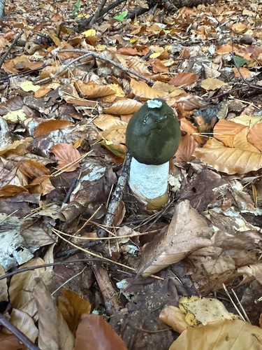
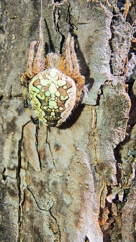
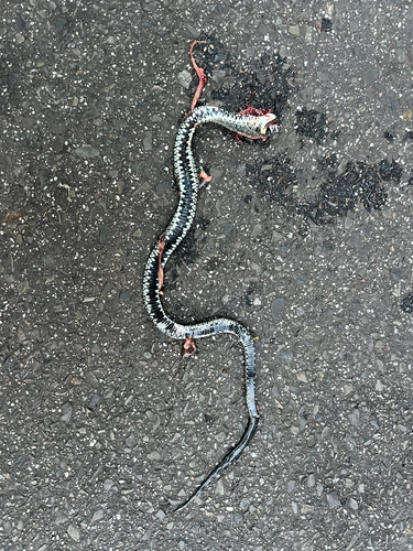
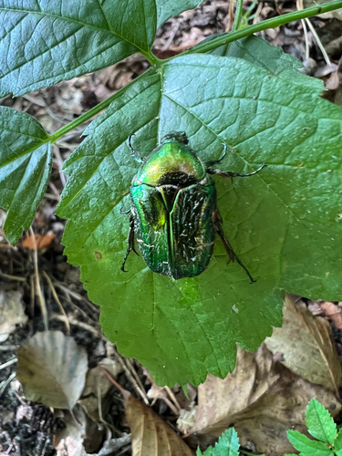
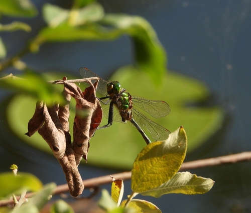
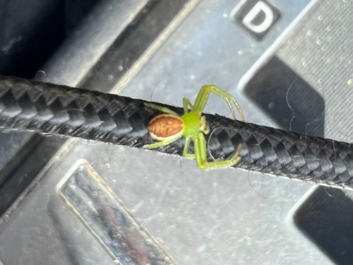
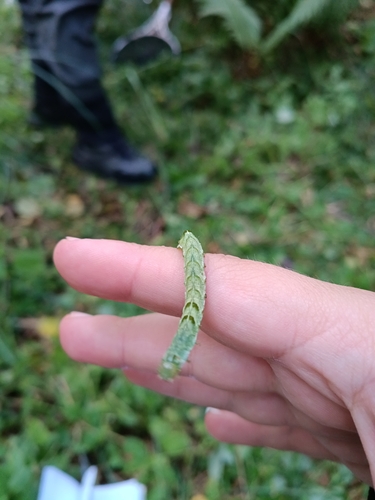
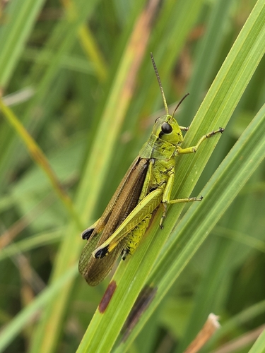
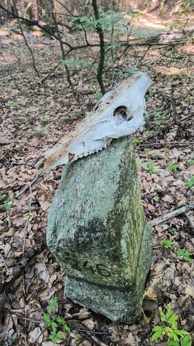
Research-grade observations from iNaturalist (within ~15 mi).
Events
Gallery
Official Identifiers
GUS — Statistics Poland
- SIMC code
- 0966808
- Population (Wikidata)
- 2,232
- Wikidata
- Q990841
SIMC place ID via Wikidata P4046
Sources
- • Wikipedia
- • Wikidata
- • iNaturalist
- • Open-Meteo / sunrise-sunset.org
- • Wikipedia Pageviews API
- • GUS — Statistics Poland — SIMC place ID via Wikidata P4046