Browse / Poland / West Pomerania / Czaplinek
Czaplinek
West Pomeraniatown

Czaplinek
Total population
6,876
Founded
1286
Demographic figures from Statistics Poland (GUS). Overview below cites Wikipedia and may reference a different year.
City facts
Sister cities
Facts from Wikidata (CC0).
Overview
Czaplinek is a town in Drawsko County, West Pomeranian Voivodeship, Poland, with 7,012 inhabitants as of December 2021. It is situated between Drawsko and Czaplino lakes.
Read more on WikipediaHistory & geography
History
The oldest trace of a settlement dates back over 2,500 years; a palisade was once discovered on the island of Bielawa on Drawsko Lake, the second deepest lake in Poland, as well as in the village of Stare Drawsko. The area was initially inhabited by the Goths in the ancient times, In 1368 the town was purchased by King Casimir III the Great. For the next centuries Czaplinek remained a part of Poland, as a royal town, administratively in the Wałcz County in the Poznań Voivodeship in the Greater Poland Province. Czaplinek was granted various privileges by Polish kings in 1504, 1635 and 1640. In the 1658 Treaty of Bydgoszcz, it came under the control of Brandenburg-Prussia, and was definitively lost by Poland in 1668, although Poles made diplomatic efforts to regain the town until the First Partition of Poland in 1772, but to no avail. In the final stages of the war, on March 3, 1945, the Battle of Czaplinek took place, in which the First Polish Army defeated the forces of Nazi Germany and captured the town. Following Germany's defeat in 1945, Czaplinek, as part of historic Greater Poland, was finally reintegrated with Poland. The town's German population was expelled in accordance with the Potsdam Agreement. The remaining pre-war Polish inhabitants of the town, were joined by various other groups of Poles, the first of which were the just freed forced laborers and prisoners of war. The first post-war transport of several hundreds Poles came to Czaplinek on May 17, 1945 from Skierniewice, while the next transports came from former eastern Poland annexed by the Soviet Union, particularly from the Nowogródek and Wilno Voivodeships and the eastern part of the Białystok Voivodeship. After the war, the town's life was organized anew. Already in 1945, restaurants, cafes,…
Excerpted from the corresponding Wikipedia article (CC BY-SA).
Geography
Coordinates & boundaries from the US Census TIGER/Line shapefiles.
Climate
Air quality
Walkability
Amenities nearby
Wildlife & biodiversity
Earthquake history
Photos
Sights & places nearby
Notable people from here


People born within ~10 km, from Wikidata (CC0). Click any name for their Wikipedia article.
Geography & sun
Elevation, sunrise/sunset and daylight from Open-Meteo. Solar climatology from NASA POWER.
Nearby airports
Public attention
Pageview totals from the Wikimedia Pageviews API.
Books about this place
Recent natural events nearby
Ground air-quality sensors
Recently spotted species
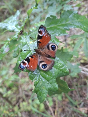
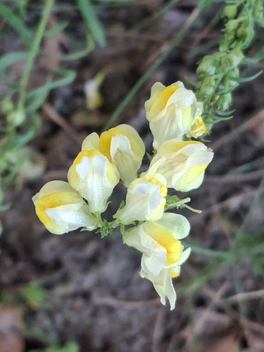
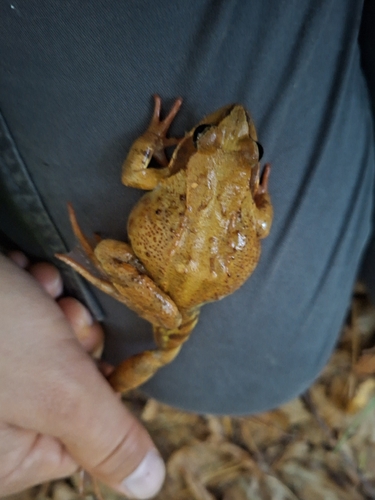
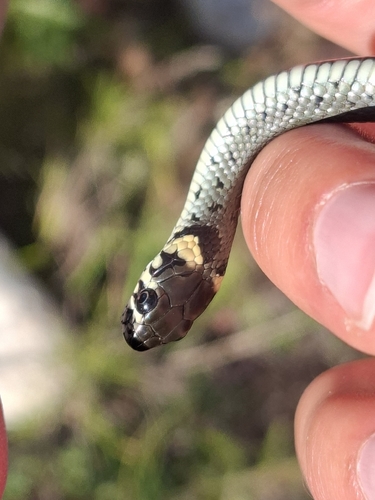
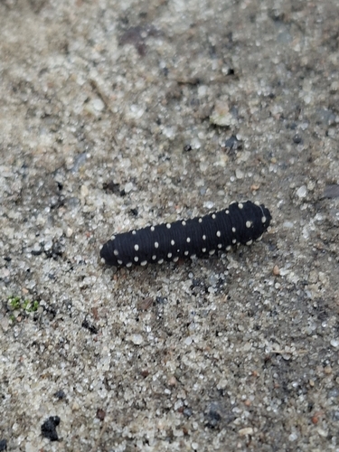
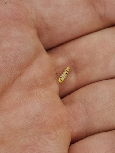
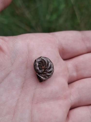
Research-grade observations from iNaturalist (within ~15 mi).
Events
Gallery
Sources
- • Wikipedia
- • Wikidata
- • iNaturalist
- • Open-Meteo / sunrise-sunset.org
- • Wikipedia Pageviews API