Browse / Poland / Pomerania / Czarne
Czarne
Pomeraniatown

Czarne
Total population
5,749
Demographic figures from Statistics Poland (GUS). Overview below cites Wikipedia and may reference a different year.
City facts
Sister cities
Facts from Wikidata (CC0).
Overview
Czarne is a town in Człuchów County of the Pomeranian Voivodeship in northern Poland. As of December 2022, the town has a population of 5,368.
Read more on WikipediaHistory & geography
History
The area formed part of Poland until the Teutonic invasion in 1309. Konrad von Jungingen granted the settlement town privileges in 1395. It lay on the bank of the Czarna river, hence its name. It was an important trade and military point due to the nearby Teutonic Order and Pomeranian frontier. In 1454 the town and region were reincorporated to Poland by King Casimir IV Jagiellon. Afterwards the castle and town were defended against Teutonic attacks. Following the Thirteen Years' War, according to the Second Peace of Thorn (1466), it was confirmed as part of Poland. Since then the town was part of the Pomeranian Voivodeship in the Polish province of Royal Prussia, and later also in the Greater Poland Province. Czarne was the seat of the starosts (local royal administrators), they resided in the local castle. In 1627, it was site of the Battle of Czarne, in which Poles under the command of Stanisław Koniecpolski defeated the invading Swedes. After the First Partition of Poland in 1772 the town was annexed by Prussia. It became part of the newly established Province of West Prussia in 1773. Prussian authorities ordered the demolition of the Czarne castle. The town was captured by Poles in 1807, during the Napoleonic Wars and Polish national liberation fights. A railway line from Chojnice via Czarne to Szczecinek was opened in 1878. After the war, the former camp housed German civilians fleeing Soviet Russia and Poles so that they would be prevented from participating in the Greater Poland uprising of 1918–1919 and joining the nascent Polish army. and Polish civilians from Soviet captivity mistakenly classified as POWs, of which tens of thousands, mainly Soviets, died from disease, mistreatment and malnutrition. From June to October 1941, the town was the location of…
Excerpted from the corresponding Wikipedia article (CC BY-SA).
Geography
Coordinates & boundaries from the US Census TIGER/Line shapefiles.
Climate
Air quality
Walkability
Amenities nearby
Wildlife & biodiversity
Most-observed species
- MallardAnas platyrhynchos Linnaeus, 1758 · Aves36
- Roman SnailHelix pomatia Linnaeus, 1758 · Gastropoda33
- Great Cormorant/European ShagPhalacrocorax carbo (Linnaeus, 1758) · Aves30
- Mute SwanCygnus olor (J.F.Gmelin, 1789) · Aves30
- Common CraneGrus grus (Linnaeus, 1758) · Aves28
- Black-headed GullChroicocephalus ridibundus (Linnaeus, 1766) · Aves26
- Great Crested GrebePodiceps cristatus (Linnaeus, 1758) · Aves24
- Gray/Purple HeronArdea cinerea Linnaeus, 1758 · Aves22
Citizen-science & research observations from the Global Biodiversity Information Facility (GBIF).
Earthquake history
Events from the USGS Earthquake Catalog (global) (FDSN Event Web Service).
Photos
Sights & places nearby
Notable people from here


People born within ~10 km, from Wikidata (CC0). Click any name for their Wikipedia article.
Geography & sun
Elevation, sunrise/sunset and daylight from Open-Meteo. Solar climatology from NASA POWER.
Nearby airports
Public attention
Pageview totals from the Wikimedia Pageviews API.
Books about this place
Recent natural events nearby
Ground air-quality sensors
Recently spotted species
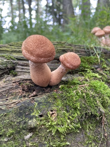
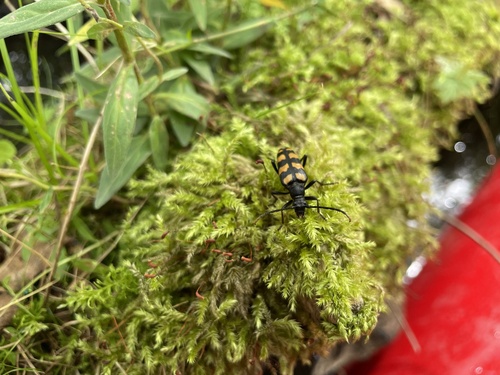
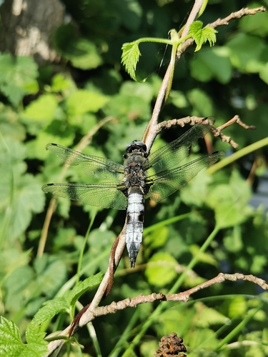
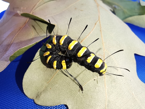
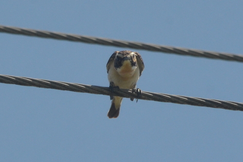
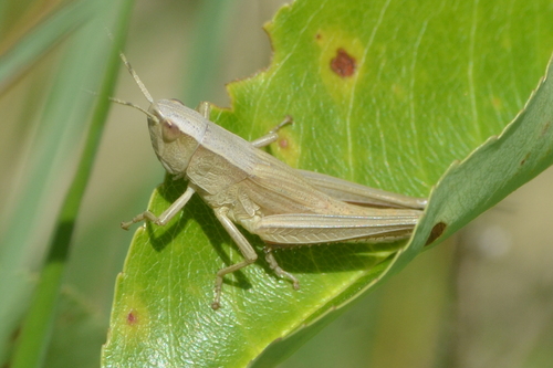
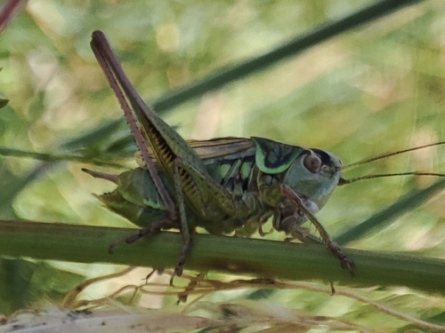
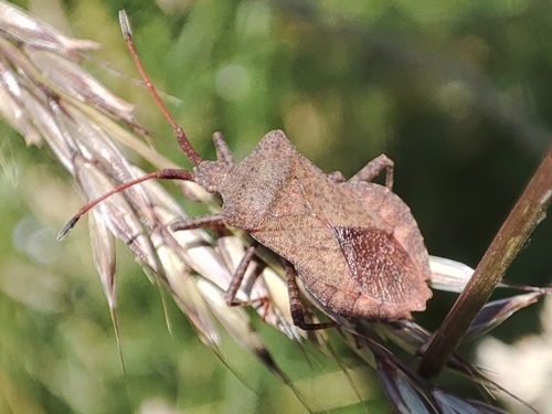
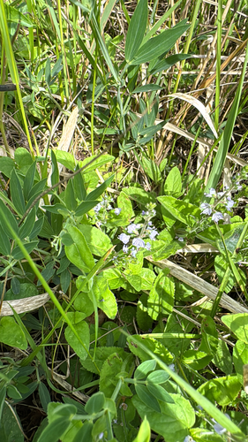
Research-grade observations from iNaturalist (within ~15 mi).
Events
Gallery
Sources
- • Wikipedia
- • Wikidata
- • USGS Earthquake Catalog (global feed)
- • GBIF (Global Biodiversity Information Facility)
- • iNaturalist
- • Open-Meteo / sunrise-sunset.org
- • Wikipedia Pageviews API