Browse / Poland / Warmia-Masuria / Działdowo
Działdowo
Warmia-Masuriatown

Działdowo
Total population
20,670
Demographic figures from Statistics Poland (GUS). Overview below cites Wikipedia and may reference a different year.
City facts
Overview
Działdowo is a town in northern Poland with 20,935 inhabitants as of December 2021, the capital of Działdowo County. As part of Masuria, it is situated in the Warmian-Masurian Voivodeship.
Read more on WikipediaHistory & geography
History
The first settlement in the vicinity, known as Sasinowie in Polish and Sassen in German, was established by the Old Prussians, an indigenous Baltic tribe. The Teutonic Knights conquered the region and built a castle, a wing of which still remains. The new settlement near the castle founded by Mikołaj z Karbowa and named Soldov was granted town privileges on 14 August 1344 by the Grand Master Ludolf König. The name Dzialdoff was first written on a 1409 map during the Polish–Lithuanian–Teutonic War. and then the townspeople expelled the Teutonic Knights and recognized the Polish King as rightful ruler. During the subsequent Thirteen Years' War, the town was briefly captured by the Teutonic Knights in 1455. After the peace treaty signed in Toruń in 1466, it became a part of Poland as a fief held by the State of the Teutonic Knights. Within the Duchy of Prussia (a Polish fiefdom until 1657), the settlement converted to Lutheranism during the Protestant Reformation of the 16th century. The following communes belonged to the Protestant parish of Soldau: Borowo, Bursz, Gajówki, Kisiny, Komorniki, Księży Dwór, Kurki, Malinowo, Pierławki, Prusinowo, Rudolfowo, Wysoka, and Zakrzewo. In 1701, the town became part of the Kingdom of Prussia, from 1773 on within the newly formed province of East Prussia. Within the Kingdom of Prussia and the later German Empire, the settlement developed into an important Prussian Eastern Railway junction in the second half of the 19th century. The town had a Polish majority in 1825, with 1,496 Poles and 386 Germans living within it. At the same time, the Prussian authorities were hostile to the local population due to its Polish pro-independence activity during the November and January Uprisings in Congress Poland. During the January Uprising of…
Excerpted from the corresponding Wikipedia article (CC BY-SA).
Geography
Coordinates & boundaries from the US Census TIGER/Line shapefiles.
Climate
Air quality
Walkability
Amenities nearby
Wildlife & biodiversity
Most-observed species
- Common BuzzardButeo buteo (Linnaeus, 1758) · Aves62
- Common RavenCorvus corax Linnaeus, 1758 · Aves48
- Barn SwallowHirundo rustica Linnaeus, 1758 · Aves48
- Common Wood-PigeonColumba palumbus Linnaeus, 1758 · Aves43
- Common CraneGrus grus (Linnaeus, 1758) · Aves39
- Eurasian Marsh-HarrierCircus aeruginosus (Linnaeus, 1758) · Aves34
- Eurasian SkylarkAlauda arvensis Linnaeus, 1758 · Aves33
- Eurasian Collared-DoveStreptopelia decaocto (Frivaldszky, 1838) · Aves30
Citizen-science & research observations from the Global Biodiversity Information Facility (GBIF).
Earthquake history
Events from the USGS Earthquake Catalog (global) (FDSN Event Web Service).
Photos
Sights & places nearby
Notable people from here
Nearby places in Warmia-Masuria
- Mały Łęck8.7 mi away · pop. 438
- Turza Mała9.7 mi away
- Murawki10.5 mi away
- Nowy Dwór11.6 mi away · pop. 265
- Okrągłe14.5 mi away · pop. 170
- Ostrowite14.9 mi away · pop. 330
- Ostaszewo18.3 mi away
- Nawra29.5 mi away
- Marzęcice29.7 mi away
- Gębiny30.1 mi away · pop. 30
- Dorotowo33.2 mi away
- Nowy Dwór35.1 mi away · pop. 258
Geography & sun
Elevation, sunrise/sunset and daylight from Open-Meteo. Solar climatology from NASA POWER.
Nearby airports
Public attention
Pageview totals from the Wikimedia Pageviews API.
Books about this place
Recent natural events nearby
Ground air-quality sensors
Recently spotted species
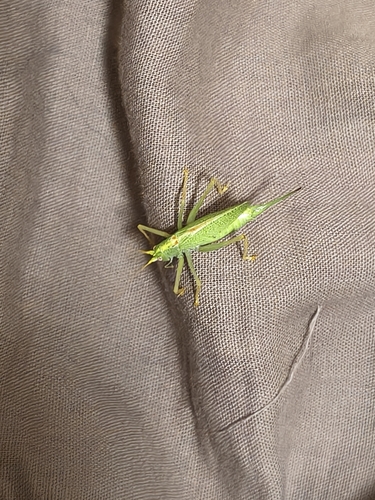
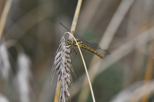
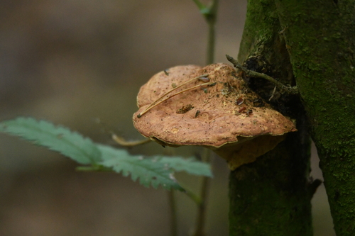
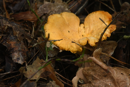
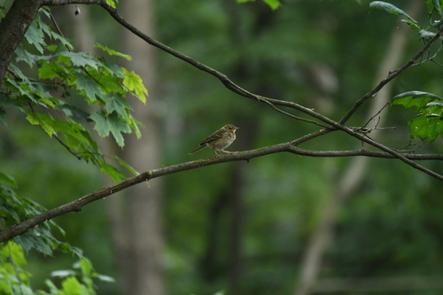
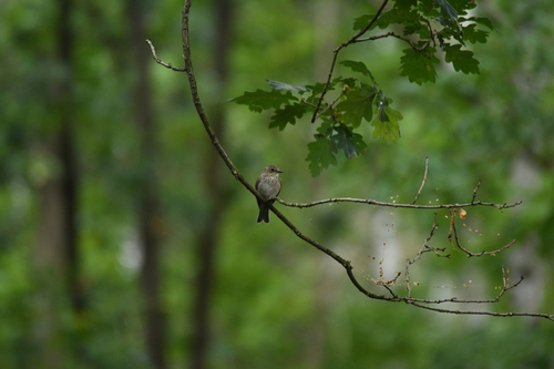
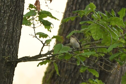
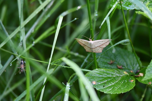
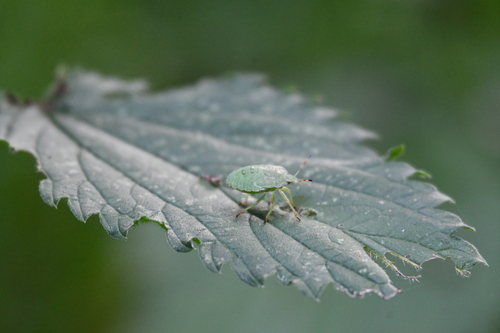
Research-grade observations from iNaturalist (within ~15 mi).
Events
Gallery
Official Identifiers
GUS — Statistics Poland
- SIMC code
- 0930609
- Population (Wikidata)
- 20,670
- Wikidata
- Q983720
SIMC place ID via Wikidata P4046
Sources
- • Wikipedia
- • USGS Earthquake Catalog (global feed)
- • GBIF (Global Biodiversity Information Facility)
- • iNaturalist
- • Open-Meteo / sunrise-sunset.org
- • Wikipedia Pageviews API
- • GUS — Statistics Poland — SIMC place ID via Wikidata P4046