Browse / Poland / Warmia-Masuria / Elbląg
Elbląg
Warmia-Masuriacity

Elbląg
Total population
115,220
Founded
1237
Demographic figures from Statistics Poland (GUS). Overview below cites Wikipedia and may reference a different year.
City facts
Sister cities
Facts from Wikidata (CC0).
Overview
Elbląg is a city in the Warmian-Masurian Voivodeship, in northern Poland, located in the eastern edge of the Żuławy region with 127,390 inhabitants, as of December 2021. It is the capital of Elbląg County.
Read more on WikipediaHistory & geography
History
The settlement was first mentioned as "Ilfing" in The Voyages of Ohthere and Wulfstan, an Anglo-Saxon chronicle written in King Alfred's reign using information from a Viking who had visited the area. During the Middle Ages, the Viking settlement of Truso was located on Lake Drużno, near the current site of Elbląg in historical Pogesania; the settlement burned down in the 10th century. Early in the 13th century the Teutonic Knights conquered the region, built a castle, and founded Elbing on the lake, with a population mostly from Lübeck (today the lake, now much smaller, no longer reaches the city). After the uprising against the Teutonic Knights and the destruction of the castle by the inhabitants, the city successively came under the sovereignty of the Kingdom of Poland (1454), the Kingdom of Prussia (1772), and Germany (1871). Elbing was heavily damaged in World War II, and its remaining German citizens were expelled upon the war's end in accordance with the Potsdam Agreement. The city became again part of Poland in 1945 and was repopulated with Polish citizens. It was an important seaport serving the Vistula River bay on the early medieval Baltic Sea trade routes which led from Birka in the north to the island of Gotland and to Visby in the Baltic Sea. From there, traders continued further south to Carnuntum along the Amber Road. The ancient Amber Road led further southwest and southeast to the Black Sea and eventually to Asia. The east–west trade route went from Truso, along the Baltic Sea to Jutland, and from there inland by river to Hedeby, a large trading center in Jutland. The main goods of Truso were amber, furs, and slaves. Archaeological finds in 1897 and diggings in the 1920s placed Truso at Gut Hansdorf. A large burial field was also found at Elbląg.…
Geography
Elbląg is located about south-east of Gdańsk and south-west of Kaliningrad, Russia. The city is a port on the river Elbląg, which flows into the Vistula Lagoon about to the north, thus giving the city access to the Baltic Sea via the Russian-controlled Strait of Baltiysk. The Old Town () is located on the river Elbląg connecting Lake Drużno to the Vistula Lagoon, about from the lagoon and from Gdańsk. The climate of Elbląg is an oceanic climate (Köppen Cfb) closely bordering on a humid continental climate (Köppen Dfb), owing to its position of the Baltic Sea, which moderates the temperatures, compared to the interior of Poland. The climate is cool throughout the year and there is a somewhat uniform precipitation throughout the year. Typical of Northern Europe, there is little sunshine during the year.
Excerpted from the corresponding Wikipedia article (CC BY-SA).
Geography
Coordinates & boundaries from the US Census TIGER/Line shapefiles.
Climate
Air quality
Walkability
Amenities nearby
Wildlife & biodiversity
Most-observed species
- Common BuzzardButeo buteo (Linnaeus, 1758) · Aves187
- White-tailed EagleHaliaeetus albicilla (Linnaeus, 1758) · Aves165
- European StarlingSturnus vulgaris Linnaeus, 1758 · Aves162
- Black-headed GullChroicocephalus ridibundus (Linnaeus, 1766) · Aves159
- Common Wood-PigeonColumba palumbus Linnaeus, 1758 · Aves157
- MallardAnas platyrhynchos Linnaeus, 1758 · Aves153
- Northern LapwingVanellus vanellus (Linnaeus, 1758) · Aves146
- Mute SwanCygnus olor (J.F.Gmelin, 1789) · Aves146
Citizen-science & research observations from the Global Biodiversity Information Facility (GBIF).
Earthquake history
Most recent
- M 4.8 — 2004-09-213 km SSW of Yantarnyy, Russia
- M 4.8 — 2004-09-212 km ESE of Yantarnyy, Russia
Events from the USGS Earthquake Catalog (global) (FDSN Event Web Service).
Photos
Sights & places nearby
Notable people from here


People born within ~10 km, from Wikidata (CC0). Click any name for their Wikipedia article.
Nearby places in Warmia-Masuria
- Szopy3.7 mi away · pop. 60
- Nowina3.7 mi away · pop. 160
- Sierpin4.6 mi away · pop. 70
- Przezmark4.7 mi away · pop. 119
- Nowakowo4.7 mi away · pop. 499
- Żurawiec4.8 mi away · pop. 260
- Wilkowo5.2 mi away · pop. 90
- Kopanka Druga5.5 mi away
- Adamowo5.6 mi away
- Piastowo5.7 mi away · pop. 90
- Mojkowo5.8 mi away
- Nogat5.9 mi away · pop. 160
Geography & sun
Elevation, sunrise/sunset and daylight from Open-Meteo. Solar climatology from NASA POWER.
Nearby airports
Public attention
Pageview totals from the Wikimedia Pageviews API.
Books about this place
Recent natural events nearby
Ground air-quality sensors
Recently spotted species
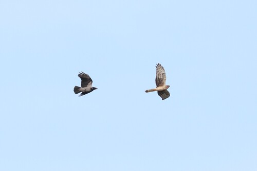
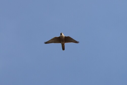
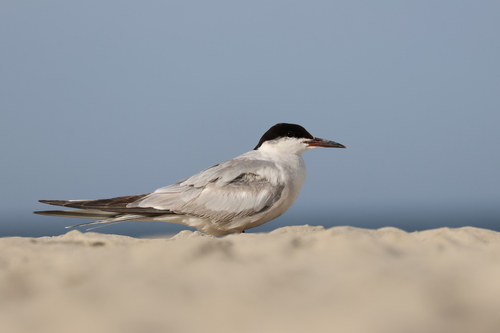
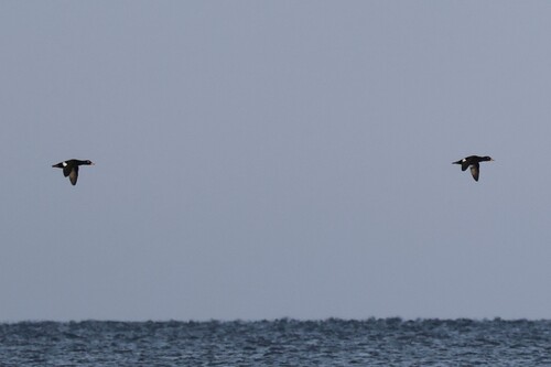
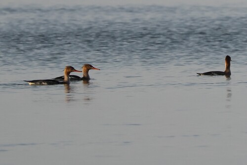
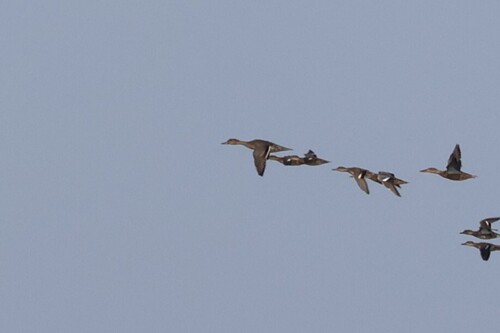
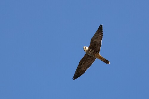
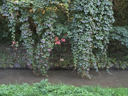
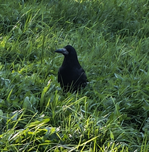
Research-grade observations from iNaturalist (within ~15 mi).
Events
Gallery
Geotagged photos within ~6 miles of Elbląg, from Wikimedia Commons contributors.
 0.1 mi
 0.1 mi
 0.1 mi
 0.1 mi
 0.1 mi
 0.1 mi
 0.1 mi
 0.2 mi
 0.2 mi
 0.2 mi
 0.2 mi
 0.2 mi
 0.2 mi
 0.2 mi
 0.2 mi
.jpg) 0.2 mi
0.2 mi 0.2 mi
 0.2 mi
 0.2 mi
 0.2 mi
 0.3 mi
 0.3 mi
 0.3 mi
.jpg) 0.3 mi
0.3 miPhotos via Wikimedia Commons — see each image page for license & attribution.
Official Identifiers
GUS — Statistics Poland
- SIMC code
- 0932703
- Population (Wikidata)
- 115,220
- Wikidata
- Q104712
SIMC place ID via Wikidata P4046
Sources
- • Wikipedia
- • Wikimedia Commons
- • Wikidata
- • USGS Earthquake Catalog (global feed)
- • GBIF (Global Biodiversity Information Facility)
- • iNaturalist
- • Open-Elevation
- • Open-Meteo / sunrise-sunset.org
- • Wikipedia Pageviews API
- • GUS — Statistics Poland — SIMC place ID via Wikidata P4046