Browse / Poland / Łódź / Głowno
Głowno
Łódźtown

Głowno
Total population
13,506
Demographic figures from Statistics Poland (GUS). Overview below cites Wikipedia and may reference a different year.
City facts
Sister cities
Facts from Wikidata (CC0).
Overview
Głowno is a town and community in Poland, in Łódź Voivodeship, in Zgierz County, about 25 km (16 mi) northeast of Łódź. The town administratively belonged to the Łódź Voivodeship from 1975 to 1998. According to data from 2020, the city had 13,961 inhabitants.
Read more on WikipediaHistory & geography
History
Although the first settlement at the site of present-day Głowno is thought to have appeared in the 11th century, the first town was organized in the early 15th century near a trade route from the Duchy of Masovia, a Polish fief, to the Polish Kingdom. Rawa Mazowiecka feudal lord and Sochaczew podczaszy (deputy cup-bearer) Jakub Głowiński founded Głowno's first Roman Catholic church, which was consecrated on March 11, 1420 as the Church of St. Jacob. On Jakub's request, Duke Siemowit V of Masovia granted city rights under Kulm law. The city rights have been maintained until the modern day, with an interruption between the years 1870–1925. Upon incorporation of the Duchy of Rawa into the Kingdom of Poland as a reverted fief in 1462 the Rawa Voivodeship was established, which was also part of the larger Greater Poland Province of the Polish Crown. Głowno belonged to that voivodeship until 1793 or the Second Partition of Poland. In 1504 a fire destroyed a large part of the city, whereupon King Alexander Jagiellon suspended taxation for its inhabitants for ten years. In 1522 second fire struck and King Sigismund I the Old granted another 10 year taxation reprieve. Because of the Deluge and the rebellion under Jerzy Sebastian Lubomirski, the population severely diminished, and in 1676, only 74 people lived in Głowno, but under the rule of King John III Sobieski the town population recovered somewhat. During the Great Northern War the town and church were ransacked by Saxon and Swedish troops, including a short but devastating stay by king Charles XI of Sweden and his mounted troops in 1704, recorded by the parish priest of the Saint Jacob church. Consequently, in 1710, an epidemic struck, killing inhabitants from local nobility to town peoples, and town was almost finished.…
Geography
Głowno is located in the Central Polish Lowlands (Nizina Polska), within the smaller geographical area of Łowicz-Błońska Plain at the confluence of three small rivers: Mroga, Mrożyca, and Brzuśnia. There are two dammed lakes with the total area of around 39 hectares, both fed by the waters of Mroga River. The city's elevation is from 119.3 to 145.9 meters, the higher number belongs to the northern part of the town, above sea level. The valleys of Mroga and Mrożyca form a natural, ecological contour of Głowno. The town area is a rather flat surface, and only the edges of the river valleys and a small chain of sand dunes in the center of the town (known as Marakan) form any variation in otherwise flat landscape. The land area of Głowno consists of 1,867 hectares, or 18.67 square kilometers. Town is located 29 kilometers northeast of Łódź and about 100 kilometers southwest of the Polish capital, Warsaw. According to 2002 data, Głowno has a surface area of 19.82 square kilometers, including 35% rural and 30% forested. The city comprises 2.32% surface of the administrative district. Głowno is surrounded by forests of pine, oak, birch, and fir. They are the remainder of the forests that formerly grew in the region of Łódź. They cover the area of the valley of the village of Olszowa. The northern forested part of Głowno has been declared as the Zabrzeźnia Reserve. The total area is 27.6 hectares. In the field of the reserve grows an oak-hornbeam forest. In Głowno, fir and beech are the main objects of preservation for the Zabrzeźnia Reserve. The northern limit of the occurrence of this tree crosses through here. The forested valley of three rivers form a unique microclimate around the region of Głowno. The yearly air temperature averages 7.5C, in the summer +10C, in the…
Excerpted from the corresponding Wikipedia article (CC BY-SA).
Geography
Coordinates & boundaries from the US Census TIGER/Line shapefiles.
Climate
Air quality
Walkability
Amenities nearby
Wildlife & biodiversity
Most-observed species
- MallardAnas platyrhynchos Linnaeus, 1758 · Aves444
- Fly AgaricAmanita muscaria (L.) Lam. · Agaricomycetes400
- Great TitParus major Linnaeus, 1758 · Aves376
- Mute SwanCygnus olor (J.F.Gmelin, 1789) · Aves345
- Graylag GooseAnser anser (Linnaeus, 1758) · Aves335
- Common BuzzardButeo buteo (Linnaeus, 1758) · Aves333
- Eurasian Blue TitCyanistes caeruleus (Linnaeus, 1758) · Aves328
- Great EgretArdea alba Linnaeus, 1758 · Aves321
Citizen-science & research observations from the Global Biodiversity Information Facility (GBIF).
Earthquake history
Most recent
- M 4.5 — 2014-11-308 km SSW of Szczerców, Poland
- M 2.8 — 2008-07-144 km SE of Szczerców, Poland
- M 2.5 — 2005-07-013 km NW of Sulmierzyce, Poland
- M 3.7 — 2005-05-305 km SW of Kluki, Poland
- M 3.2 — 2004-06-080 km W of Kluki, Poland
- M 3.2 — 2004-03-165 km SE of Kluki, Poland
Events from the USGS Earthquake Catalog (global) (FDSN Event Web Service).
Photos
Sights & places nearby
Notable people from here


People born within ~10 km, from Wikidata (CC0). Click any name for their Wikipedia article.
Nearby places in Łódź
Geography & sun
Elevation, sunrise/sunset and daylight from Open-Meteo. Solar climatology from NASA POWER.
Nearby airports
Public attention
Pageview totals from the Wikimedia Pageviews API.
Books about this place
Recent natural events nearby
Ground air-quality sensors
Recently spotted species
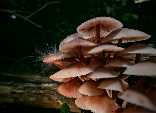
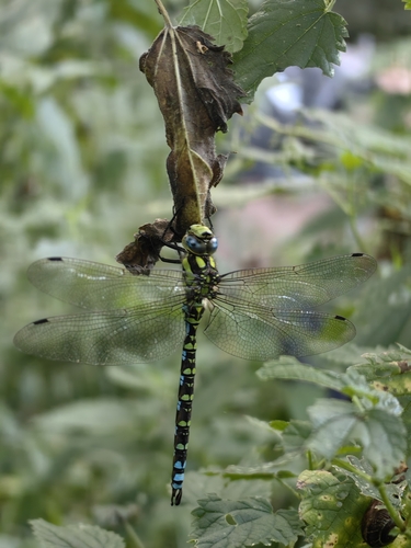
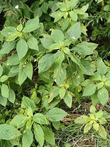
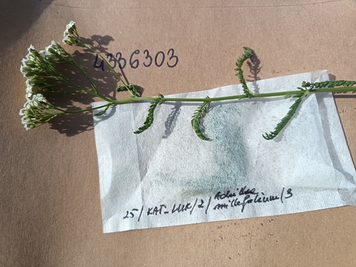
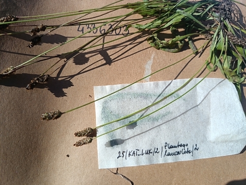

Research-grade observations from iNaturalist (within ~15 mi).
Events
Gallery
Official Identifiers
GUS — Statistics Poland
- SIMC code
- 0958714
- Population (Wikidata)
- 13,506
- Wikidata
- Q867358
SIMC place ID via Wikidata P4046
Sources
- • Wikipedia
- • Wikidata
- • USGS Earthquake Catalog (global feed)
- • GBIF (Global Biodiversity Information Facility)
- • iNaturalist
- • Open-Meteo / sunrise-sunset.org
- • Wikipedia Pageviews API
- • GUS — Statistics Poland — SIMC place ID via Wikidata P4046