Browse / Poland / Warmia-Masuria / Giżycko
Giżycko
Warmia-Masuriatown

Giżycko
Total population
28,233
Founded
1437
Demographic figures from Statistics Poland (GUS). Overview below cites Wikipedia and may reference a different year.
City facts
Sister cities
Facts from Wikidata (CC0).
Overview
Giżycko is a town in northeastern Poland with 27,107 inhabitants as of January 2025. It is situated between Lake Kisajno and Lake Niegocin in the region of Masuria, within the Warmian-Masurian Voivodeship. It is the seat of Giżycko County.
Read more on WikipediaHistory & geography
History
The first known settlements in the area of today's Giżycko were recorded in Roman times by Tacitus in his Germania and are connected to Amber Road in vicinity of which Giżycko was located. A defensive settlement of the Baltic Prussians was known to exist in the area, and in IX was recorded as being ruled by king known as Izegup or Jesegup. and after the subsequent outbreak of the Thirteen Years’ War in 1454, Łuczany sided with Poland. The settlement was captured by the Teutonic Knights in 1455, but the Poles recaptured it the next year. After the peace treaty signed in Toruń in 1466 it became part of Poland as a fief held by the Teutonic Order, until the dissolution of the Teutonic state in 1525. The settlement near the castle received town privileges, with a coat of arms and seal, in 1612, while part of the Duchy of Prussia (under Polish suzerainty until 1701). The first mayor was Paweł Rudzki. The Polish name of the town, used by its overwhelmingly Polish population, at the time was Łuczany. Lötzen became part of the Kingdom of Prussia in 1701 and was made part of the newly established province of East Prussia in 1773. In 1709/10 the plague claimed 800 victims, only 119 inhabitants survived. In the 19th century, a new Lutheran church based on design by Karl Friedrich Schinkel was erected in the centre of the town. Lötzen became part of the German Empire in 1871 during the Prussian-led unification of Germany. In June 1807, the Polish corps of generals Józef Zajączek and Jan Henryk Dąbrowski were stationed in the town. In 1844–1848 the Boyen Fortress, a fortress named after the Prussian war-minister Hermann von Boyen, was built on a small landtongue between lake Mamry (Mauersee) and lake Niegocin (Löwentinsee). This fortress is one of the largest and best…
Excerpted from the corresponding Wikipedia article (CC BY-SA).
Geography
Coordinates & boundaries from the US Census TIGER/Line shapefiles.
Climate
Air quality
Walkability
Amenities nearby
Wildlife & biodiversity
Earthquake history
Photos
Sights & places nearby
Notable people from here
Nearby places in Warmia-Masuria
Geography & sun
Nearby airports
Public attention
Books about this place
Recent natural events nearby
Ground air-quality sensors
Recently spotted species
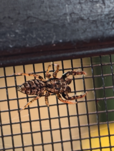
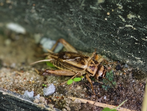
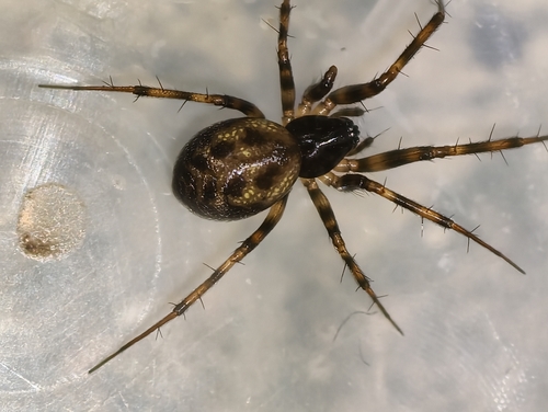
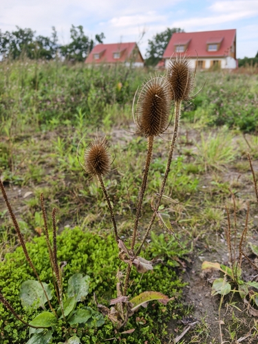
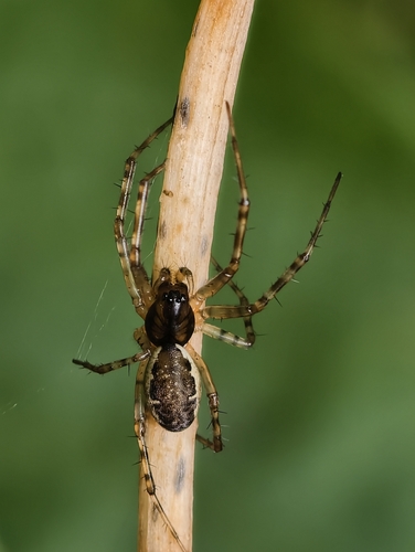
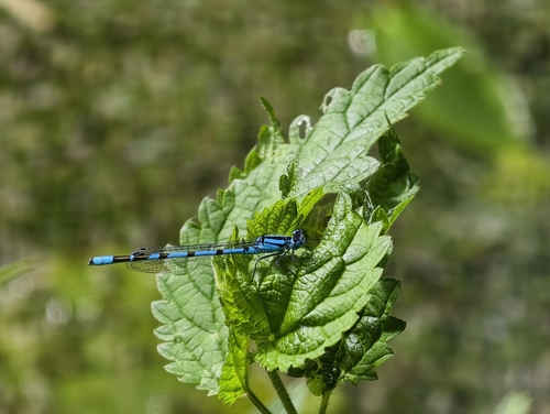


Research-grade observations from iNaturalist (within ~15 mi).
Events
Gallery
Official Identifiers
GUS — Statistics Poland
- SIMC code
- 0977692
- Population (Wikidata)
- 28,233
- Wikidata
- Q841356
SIMC place ID via Wikidata P4046
Sources
- • Wikipedia
- • Wikidata
- • iNaturalist
- • GUS — Statistics Poland — SIMC place ID via Wikidata P4046