Browse / Poland / Silesia / Gliwice
Gliwice
Silesiacity

Gliwice
Total population
174,016
Air quality index
Demographic figures from Statistics Poland (GUS). Overview below cites Wikipedia and may reference a different year.
City facts
Facts from Wikidata (CC0).
Overview
Gliwice is a city in Upper Silesia, in southern Poland. The city is located in the Silesian Highlands, on the Kłodnica river.
Read more on WikipediaHistory & geography
History
Gliwice was first mentioned as a town in 1276, however, it was granted town rights earlier by Duke Władysław Opolski of the Piast dynasty. It was located on a trade route connecting Kraków and Wrocław and was part of various Piast-ruled duchies of fragmented Poland: Opole until 1281, Bytom until 1322, from 1322 to 1342 Gliwice was a capital of the , afterwards again part of the Duchy of Bytom until 1354, later it was also ruled by other regional Polish Piast dukes until 1532, In the Middle Ages the city prospered mainly due to trade and crafts, especially brewing. After the dissolution of the Duchy of Opole and Racibórz in 1532, it was incorporated as Gleiwitz into the Habsburg monarchy. Because of the vast expenses incurred by the Habsburg monarchy during their 16th century wars against the Ottoman Empire, Gleiwitz was leased to Friedrich Zettritz for the amount of 14,000 thalers. Although the original lease was for a duration of 18 years, it was renewed in 1580 for 10 years and in 1589 for an additional 18 years. Around 1612, the Reformed Franciscans came from Kraków, and then their and were built. The city was besieged or captured by various armies during the Thirty Years' War. The city was incorporated with Prussia into the German Empire in 1871 during the unification of Germany. In 1897, Gleiwitz became its own Stadtkreis, or urban district. The first coke-fired blast furnace on the European continent was constructed in Gleiwitz in 1796 under the direction of John Baildon. Gleiwitz began to develop into a major city through industrialization during the 19th century. The town's ironworks fostered the growth of other industrial fields in the area. The city's population in 1875 was 14,156. However, during the late 19th century Gleiwitz had: 14 distilleries, 2…
Excerpted from the corresponding Wikipedia article (CC BY-SA).
Geography
Coordinates & boundaries from the US Census TIGER/Line shapefiles.
Climate
10-year averages from ERA5 reanalysis (Open-Meteo).
Air quality
Current readings from Open-Meteo Air Quality API (Copernicus CAMS European reanalysis).
Walkability
Amenities nearby
Wildlife & biodiversity
Most-observed species
- Great TitParus major Linnaeus, 1758 · Aves1,957
- Eurasian MagpiePica pica (Linnaeus, 1758) · Aves1,769
- Eurasian Blue TitCyanistes caeruleus (Linnaeus, 1758) · Aves1,755
- Eurasian BlackbirdTurdus merula Linnaeus, 1758 · Aves1,549
- Eurasian Collared-DoveStreptopelia decaocto (Frivaldszky, 1838) · Aves1,420
- Hooded CrowCorvus cornix Linnaeus, 1758 · Aves1,389
- Rock PigeonColumba livia J.F.Gmelin, 1789 · Aves1,346
- House SparrowPasser domesticus (Linnaeus, 1758) · Aves1,274
Citizen-science & research observations from the Global Biodiversity Information Facility (GBIF).
Earthquake history
Most recent
- M 2.6 — 2026-04-091 km WNW of Radlin, Poland
- M 2.9 — 2025-04-294 km WSW of Bytom, Poland
- M 3.2 — 2025-01-271 km NE of Radlin, Poland
- M 2.9 — 2024-07-114 km N of Jejkowice, Poland
- M 3 — 2023-10-042 km W of Murcki, Poland
- M 2.8 — 2023-01-122 km ENE of Karviná, Czechia
Events from the USGS Earthquake Catalog (global) (FDSN Event Web Service).
Photos
Sights & places nearby
Notable people from here


People born within ~10 km, from Wikidata (CC0). Click any name for their Wikipedia article.
Nearby places in Silesia
- Łany Wielkie5.4 mi away · pop. 748
- Rzeczyce6.3 mi away · pop. 551
- Paniówki6.7 mi away · pop. 2,297
- Zawada6.8 mi away · pop. 310
- Kleszczów7.1 mi away · pop. 781
- Pilchowice7.1 mi away · pop. 2,919
- Kamieniec7.8 mi away · pop. 829
- Wilcza7.8 mi away · pop. 2,138
- Paczynka8.2 mi away
- Paczyna9.3 mi away · pop. 1,251
- Bargłówka9.6 mi away · pop. 762
- Łubie10.4 mi away · pop. 796
Geography & sun
Elevation, sunrise/sunset and daylight from Open-Meteo. Solar climatology from NASA POWER.
Nearby airports
Public attention
Pageview totals from the Wikimedia Pageviews API.
Books about Gliwice
Search results from Open Library.
Recent natural events nearby
Ground air-quality sensors
Recently spotted species
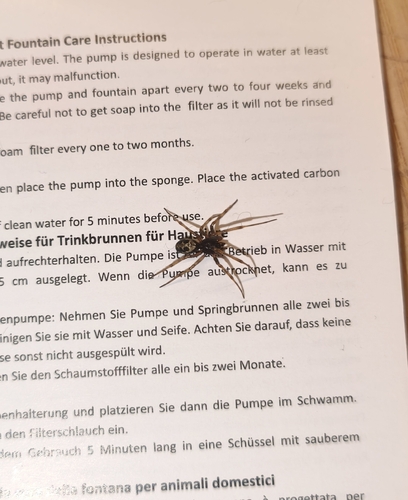
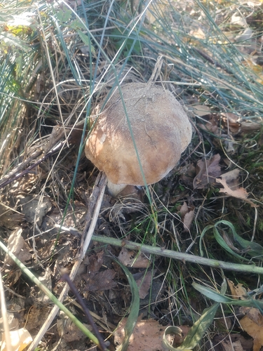
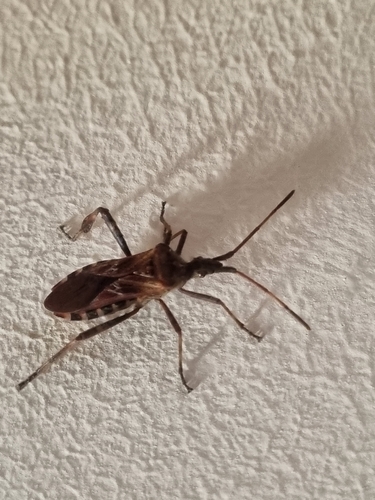
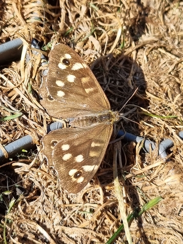
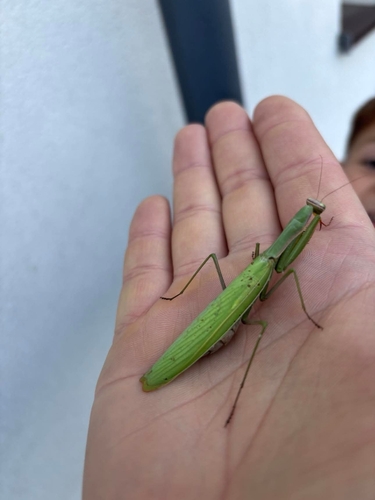
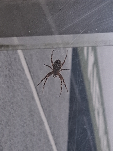
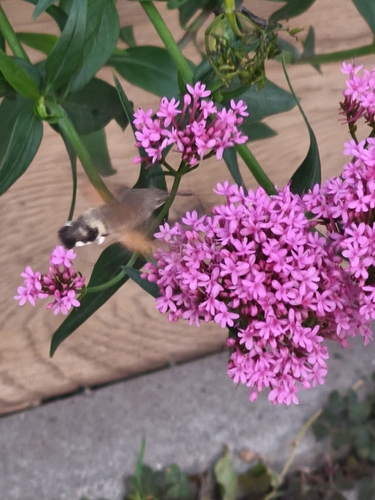
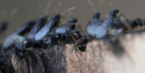
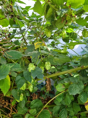
Research-grade observations from iNaturalist (within ~15 mi).
Events
Gallery
Geotagged photos within ~6 miles of Gliwice, from Wikimedia Commons contributors.


.JPG)

.JPG)


.jpg)
.jpg)
.jpg)
.jpg)
.jpg)
.jpg)
.jpg)
.jpg)
.jpg)
.jpg)


Photos via Wikimedia Commons — see each image page for license & attribution.
Official Identifiers
GUS — Statistics Poland
- SIMC code
- 0940000
- Population (Wikidata)
- 174,016
- Wikidata
- Q105084
SIMC place ID via Wikidata P4046
Sources
- • Wikipedia
- • Open-Meteo (ERA5 reanalysis)
- • Wikimedia Commons
- • Wikidata
- • Open-Meteo Air Quality (CAMS)
- • USGS Earthquake Catalog (global feed)
- • GBIF (Global Biodiversity Information Facility)
- • iNaturalist
- • Open-Meteo / sunrise-sunset.org
- • Wikipedia Pageviews API
- • Open Library
- • GUS — Statistics Poland — SIMC place ID via Wikidata P4046